Cameron Lake in Nanaimo, British Columbia — Canada’s West Coast (North America)
Nature’s Cathedral
Photographed by Bill Coughlin, September 5, 2026
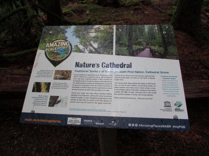
1. Nature’s Cathedral Marker
Traditional territory of the Hupacasath First Nation: Cathedral Grove
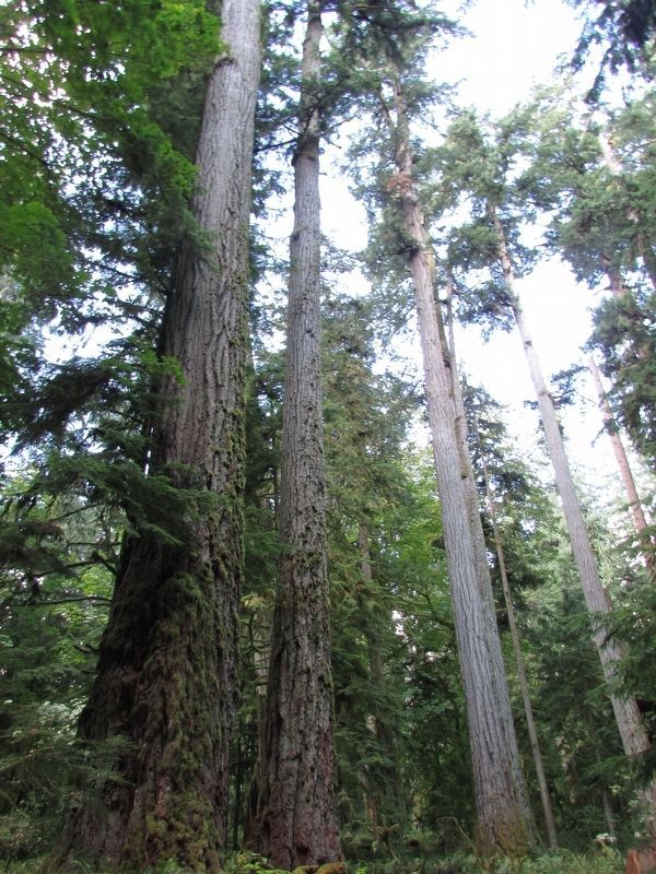
A place of spiritual significance to the Hupacasath First Nation, this grove of towering old-growth Douglas-fir trees has been inspiring people to look skyward for thousands of years. Known by many as Cathedral Grove, this amazing place protects an endangered old-growth Douglas-fir ecosystem while providing hundreds of thousands of visitors each year the opportunity to stand among immense, ancient trees and gaze up in awe.
Above your head, you may notice hair-like lichens dangling from branches, giving the forest an almost mystical quality, or hear songbirds exploring the tree canopy as they hunt for some of the 400 species of insects that may be fund in the upper branches.
Licorice ferns never touch the ground, growing their roots through layers of moss on the bark of bigleaf maple trees.
The canopy layer also protects the plants on the forest floor, as well as park visitors, by providing shade, as well as shelter from heavy rain or harsh winds. In fact, if one of these veteran trees falls, creating a hole where sunlight can filter through, the plant life
this page online
Take a moment and look up – what can you see?
Topics. This historical marker is listed in these topic lists: Horticulture & Forestry • Indigenous Peoples and Communities.
Location. 49° 17.424′ N, 124° 39.702′ W. Marker is in Cameron Lake, British Columbia, in Nanaimo. It can be reached from Alberni Highway (British Columbia Route 4), on the right when traveling east. Marker is located within MacMillan Provincial Park. Touch for map. Marker is at or near this postal address: 52 Alberni Highway, Cameron Lake BC V9K 1S5, Canada. Touch for directions.

Regionally, this marker is on Vancouver Island. Globally, it is in North America, on the Ring of Fire, on the Pacific Rim, in the Western Hemisphere, in the Western World, and in the Anglosphere. Historically, it finds itself in what was once a British colony.
Other nearby markers. At least 7 other markers are within 13 kilometers of this marker, measured as the crow flies: The Big Tree (about 90 meters away, measured in a direct line); Forests: Our Future
Photographed by Bill Coughlin, September 5, 2026
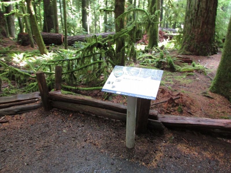
2. Nature’s Cathedral Marker
More about this marker. Three pictures appear on the left side of the marker. The top one is of a squirrel and has a caption of “Leaping, chattering red squirrels appear playful, but work hard. They gather and store massive amounts of Douglas-fir cones each year.” Below this is a picture of Witch’s Hair with the caption “Lichens such as witch’s hair (Alectaria sp.) absorb pollutants and can be used for air-quality monitoring.” The last picture is of a bird in a tree and has a caption of “Brown creepers (Certhia americana) climb Douglas-firs as if they were spiral staircases, searching for insects in and behind the bark.”
Photographed by Bill Coughlin, September 5, 2026
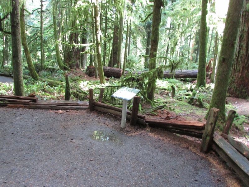
3. Nature’s Cathedral Marker
Photographed by Bill Coughlin, September 5, 2026
4. Cathedral Grove

Photographed by Bill Coughlin, September 5, 2026
5. Cathedral Grove
Credits. This page was last revised on September 17, 2026. It was originally submitted on September 17, 2026, by Bill Coughlin of Woodland Park, New Jersey. This page has been viewed 6 times since then. Photos: 1, 2, 3, 4, 5. submitted on September 17, 2026, by Bill Coughlin of Woodland Park, New Jersey.
