Ashford in Pierce County, Washington — The American West (Northwest)
Glacier Scars
Mount Rainier National Park
| — | National Park Service | — |
Photographed by Bill Coughlin, September 7, 2026
1. Glacier Scars Marker
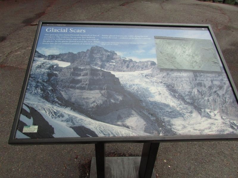
This spot was once buried beneath hundreds of feet of moving ice. The evidence lies at your feet: bedrock polished by sediment-laden water on the underside of the glacier. As the glacier flowed across the rock, debris frozen into the ice created a pattern of scratch marks. Similar glacial features are visible along the trail across the road – evidence of the glacier’s passage.
The Cowlitz Glacier that once covered this area has retreated three miles up canyon.
Topics. This historical marker is listed in this topic list: Natural Features.
Location. 46° 45.907′ N, 121° 38.096′ W. Marker is in Ashford, Washington, in Pierce County. It is on Stevens Canyon Road, on the left when traveling west. Marker is at the wayside exhibits at Box Canyon on the Cowlitz. Touch for map. Marker is in this post office area: Ashford WA 98304, United States of America. Touch for directions.

Regionally, this marker is in the Puget Sound Region and in Greater Seattle. It is also on the American Pacific Coast, in the Pacific Northwest, and in the Lewis & Clark Corridor. Globally, it is in
this page online
Other nearby markers. At least 8 other markers are within 5 miles of this marker, measured as the crow flies: River-Carved Canyon (a few steps from this marker); A Forest Returns (a few steps from this marker); Stevens-Van Trump Monument (approx. 4.3 miles away); Rescuing Reflection Lakes (approx. 4.4 miles away); Inspired to Preserve (approx. 4.7 miles away); Paradise Historic District (approx. 4.9 miles away); Paradise Inn (approx. 4.9 miles away); Extreme Snowfall (approx. 5 miles away). Touch for a list and map of all markers in Ashford.
More about this marker. The background of the marker contains a picture of the Cowlitz Glacier. A photograph on the right shows Bedrock scratched and polished by glacial ice.
Photographed by Bill Coughlin, September 7, 2026
2. Glacier Scars Marker
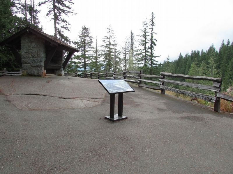
The glacially scratched and polished bedrock can be seen at the base of the marker.
Photographed by Bill Coughlin, September 7, 2026
3. Glacier Scars
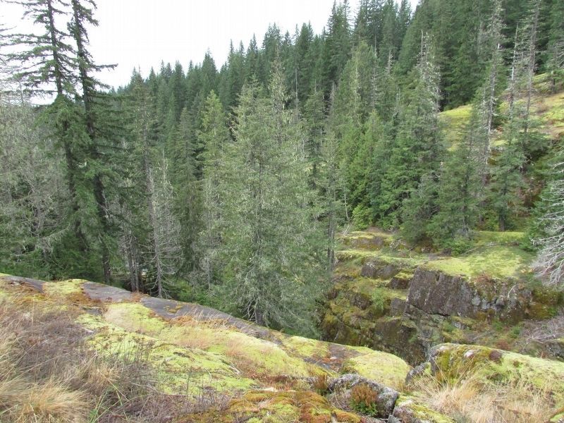
The effects of the glacier can be seen here.
Credits. This page was last revised on September 18, 2026. It was originally submitted on September 18, 2026, by Bill Coughlin of Woodland Park, New Jersey. This page has been viewed 4 times since then. Photos: 1, 2, 3. submitted on September 18, 2026, by Bill Coughlin of Woodland Park, New Jersey.
