Prescott in Walla Walla County, Washington — The American West (Northwest)
Cayuse, Umatilla, and Walla Walla Homeland
Photographed by Barry Swackhamer, June 14, 2026
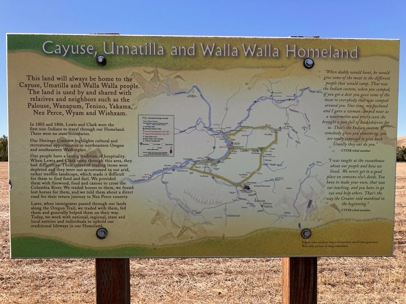
1. Cayuse, Umatilla, and Walla Walla Homeland Marker
In 1805 and 1806, Lewis and Clark were the first non-Indians to travel through this area. Then, there were no state boundaries.
Our Heritage Corridor highlights cultural and recreational opportunities in northeastern Oregon and southeastern Washington.
Our people traveled seasonally to hunt, trade, gather foods, visit family and neighbors and find suitable village sites.
After we acquired the horse in the early 1700s, we traveled as far as present-day Montana and the Great Plains to the east and California and the Pacific Ocean to the south and west.
Celilo Falls is located along the Columbia River about 180 miles west of Dayton. It was the biggest fishery in the Northwest and our people gathered there in the spring and fall to fish and trade. Our journeys brought us into contact with new foods and trade items and we shared news and information with other tribes.
"When daddy would hunt, he would give some of the meat to the different people that would camp. That was the Indian custom, when you camped, if you got a deer you gave some of the meat to everybody that was camped around you. One time, my husband and I gave a woman camped near us a watermelon and pretty sone she brought a pan full of huckleberries for us. That's the Indian custom. If somebody gives you something, you are really supposed to give back. Usually they out do you."
this page online
"I was taught at the sweat house about our people and how we lived. We never get to a good place on someone else's deeds. You have to make your own, that was our teaching, and you have to go out and help others. That's the way the Creator told mankind in the beginning." -- CTUIR tribal member.
Topics and series. This historical marker is listed in these topic lists: Exploration • Indigenous Peoples and Communities • Settlements & Settlers. In addition, it is included in the Lewis & Clark Expedition series list.
Location. 46° 17.924′ N, 118° 20.162′ W. Marker is in Prescott, Washington, in Walla Walla County. It is at the intersection of State Highway 124 and State Highway 125, on the right when traveling east on State Highway 124. Touch for map. Marker is in this post office area: Prescott WA 99348, United States of America. Touch for directions.

Regionally, this marker is in the Columbia Basin. It is also in the American Mountain West and in the Lewis & Clark Corridor. Globally, it is in North America, on the Pacific Rim, in the Western
Photographed by Barry Swackhamer, June 14, 2026
2. Cayuse, Umatilla, and Walla Walla Homeland Marker
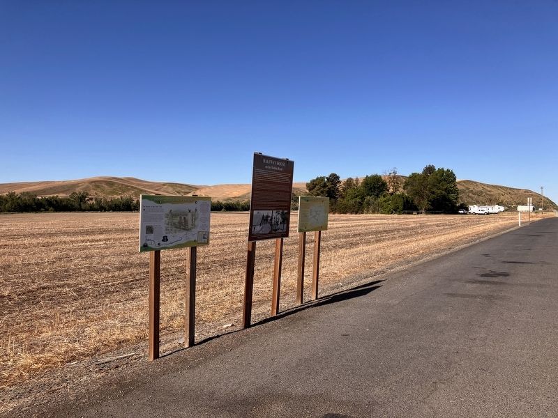
Marker on far right.
Other nearby markers. At least 2 other markers are within walking distance of this marker: Halfway House (here, next to this marker); "honest, and sincere people" (here, next to this marker).
Credits. This page was last revised on September 18, 2026. It was originally submitted on September 18, 2026, by Barry Swackhamer of Brentwood, California. This page has been viewed 10 times since then. Photos: 1, 2. submitted on September 18, 2026, by Barry Swackhamer of Brentwood, California.
