Katy in Harris County, Texas — The American South (West South Central)
Charles W. Gates
Photographed by Sean P. Flynn, September 18, 2026
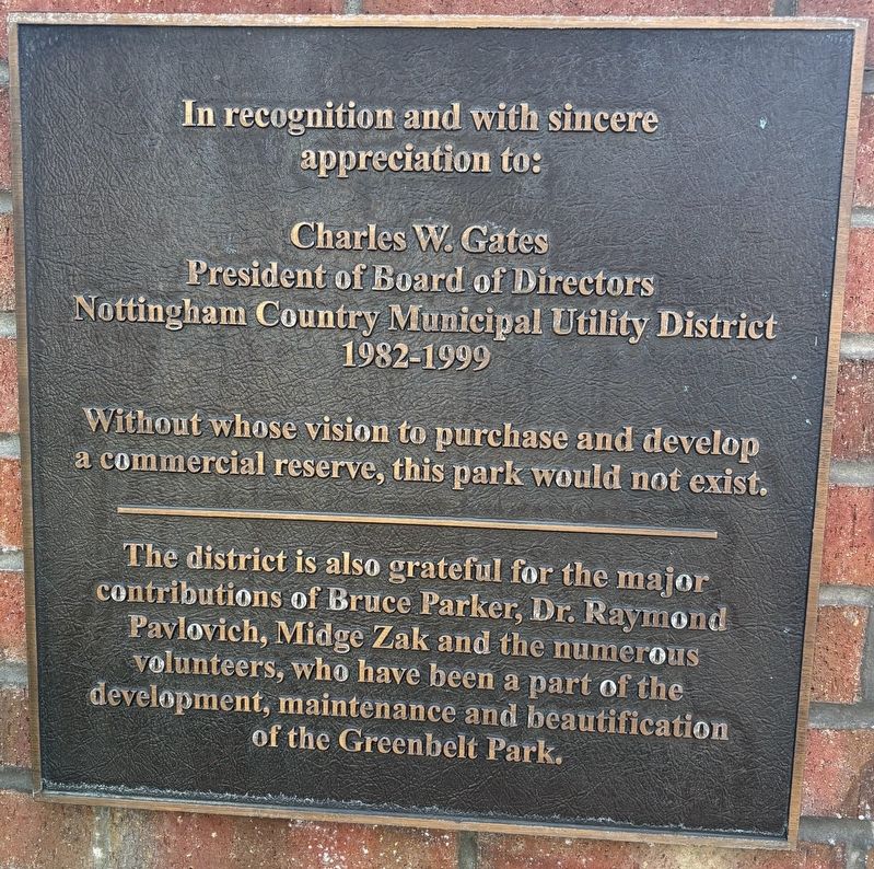
1. Charles W. Gates Marker
Charles W. Gates
President of Board of Directors
Nottingham Country Municipal Utility District
1982-1999
Without whose vision to purchase and develop a commercial reserve, this park would not exist.
The district is also grateful for the major contributions of Bruce Parker, Dr. Raymond Pavlovich, Midge Zak and the numerous volunteers, who have been a part of the development, maintenance and beautification of the Greenbelt Park.
Topics. This historical marker is listed in this topic list: Parks & Recreational Areas. A significant historical year for this entry is 1982.
Location. 29° 45.242′ N, 95° 43.345′ W. Marker is in Katy, Texas, in Harris County. It is on South Fry Road near Highland Knolls Drive. The marker is in the southern corner of Nottingham Country Greenbelt Park. Touch for map. Marker is in this post office area: Katy TX 77450, United States of America. Touch for directions.

Regionally, this marker is in the Houston Metropolitan Area. It is also in the American South and on the Gulf Coast. Globally, it is in North America, a Gulf of Mexico state,
this page online
Other nearby markers. At least 8 other markers are within 5 miles of this marker, measured as the crow flies: Freedom Park Memorial Tower (approx. 1.7 miles away); Barker Post Office (approx. 2.3 miles away); LH7 Ranch (approx. 2.7 miles away); Former Site of the Marks LH7 Ranch (approx. 2.7 miles away); Gray Lodge No. 329, A.F.& A.M. (approx. 4.6 miles away); Koch-Schmidt Cemetery (approx. 4.7 miles away); Wheaton's Ford on the San Felipe Trail (approx. 4.8 miles away); German Immigrants and the Way West (approx. 4.8 miles away).
More about this marker. A few other plaques nearby are about the dedication of this park.
Photographed by Sean P. Flynn, September 18, 2026
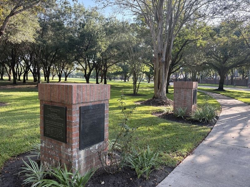
2. Charles W. Gates Marker
The marker is on the left side of the newer brick column in this photo.
Photographed by Sean P. Flynn, September 18, 2026
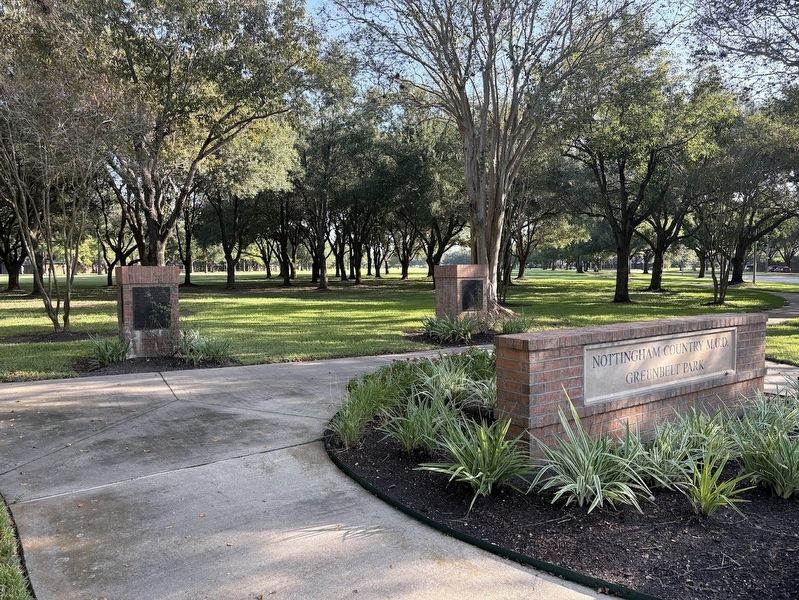
3. Greenbelt Park sign
The Charles Gates marker is on the left side of the left brick bollard.
Credits. This page was last revised on September 19, 2026. It was originally submitted on September 18, 2026, by Sean P. Flynn of Oak Park, Illinois. This page has been viewed 9 times since then. Photos: 1, 2, 3. submitted on September 18, 2026, by Sean P. Flynn of Oak Park, Illinois.
