St. Johns Bluff in Jacksonville in Duval County, Florida — The American South (South Atlantic)
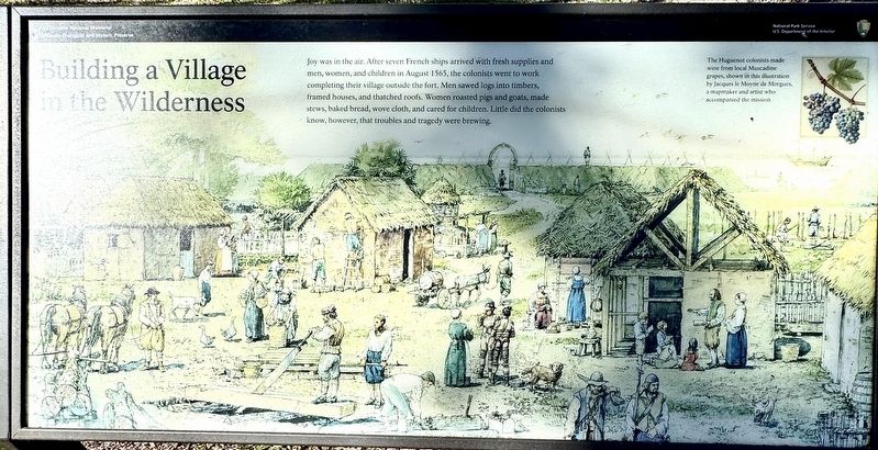
Building a Village in the Wilderness
Fort Caroline National Memorial
| — | Timucuan Ecological and Historic Preserve | — |
Photographed by Stephen Thomas White, February 4, 2026
1. Building a Village in the Wilderness Marker
(caption) The Huguenot colonists made wine from local Muscadine grapes, shown in this illustration by Jacques le Moyne de Morgues, a mapmaker and artist who accompanied the mission.
Erected by National Park Service, U.S. Depatment of the Interior.
Topics. This historical marker is listed in these topic lists: Colonial Era • Exploration • Settlements & Settlers. A significant historical month for this entry is August 1565.
Location. 30° 23.187′ N, 81° 30.022′ W. Marker is in Jacksonville, Florida, in Duval County. It is in St. Johns Bluff. It can be reached from the intersection of Fort Caroline Road and Mt Pleasant Road, on the left when traveling north. The marker is loacted near Fort Caroline, approximately
this page online

Regionally, this marker is in First Coast. It is also in the American South and on the Eastern Seaboard. Globally, it is in the North Atlantic Region, North America, a Gulf of Mexico state, the Western Hemisphere, the Western World, and the Anglosphere. Historically, it finds itself in what was once New Spain, the territory of the Mississippian Culture, one of the Confederate States of America, and the Antebellum South.
Other nearby markers. At least 8 other markers are within walking distance of this marker: Bloody Massacre (within shouting distance of this marker); Fort de la Caroline (within shouting distance of this marker); The Building of la Caroline (within shouting distance of this marker); Unsolved Mysteries (within shouting distance of this marker); Commemorating America’s French Heritage (within shouting distance of this marker); Timucuan Friends (about 600 feet away, measured in a direct line); The River of May
Photographed by Stephen Thomas White, February 4, 2026
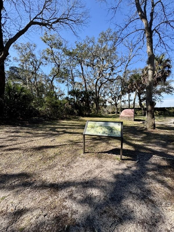
2. Building a Village in the Wilderness Marker
Also see . . .
1. Visiting Fort Caroline . (Submitted on September 19, 2026, by Stephen Thomas White of Norfolk, Virginia.)
2. Fort Caroline National Memorial. (Submitted on September 19, 2026, by Stephen Thomas White of Norfolk, Virginia.)
Credits. This page was last revised on September 30, 2026. It was originally submitted on September 19, 2026, by Stephen Thomas White of Norfolk, Virginia. This page has been viewed 7 times since then. Photos: 1, 2. submitted on September 19, 2026, by Stephen Thomas White of Norfolk, Virginia. • Bernard Fisher was the editor who published this page.
