Historic District in St. Augustine in St. Johns County, Florida — The American South (South Atlantic)
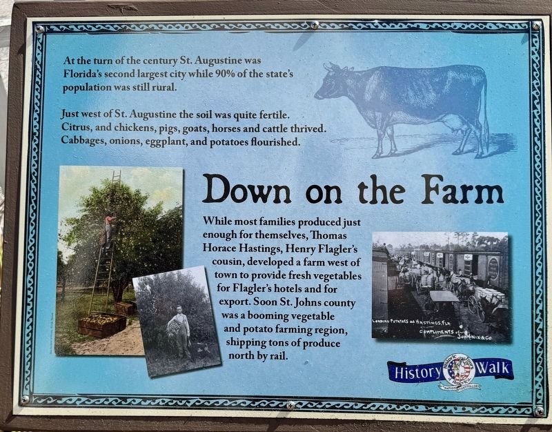
Down on the Farm
| — | Old Town St. Augustine | — |
Photographed by Stephen Thomas White, March 30, 2026
1. Down on the Farm Marker
Just west of St. Augustine the soil was quite fertile. Citrus, and chickens, pigs, goats, horses and cattle thrived. Cabbages, onions, eggplant, and potatoes flourished.
While most families produced just enough for themselves, Thomas Horace Hastings, Henry Flagler's cousin, developed a farm west of town to provide fresh vegetables for Flagler's hotels and for export. Soon St. Johns county was a booming vegetable and potato farming region, shipping tons of produce north by rail.
Erected by Old Town St. Augustine.
Topics. This historical marker is listed in these topic lists: Agriculture • Animals • Settlements & Settlers.
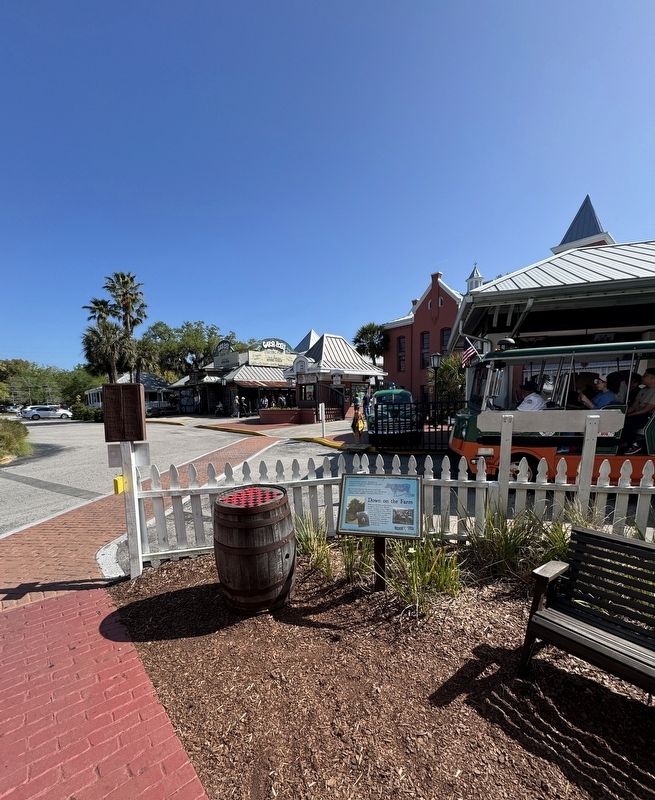
Location. 29° 54.473′ N, 81° 19.135′ W. Marker is in St. Augustine, Florida, in St. Johns County. It is in the Historic District. It can be reached from the intersection of San Marco Avenue and Dufferin Street, on the left when traveling south. The marker is located within the Old Town St. Augustine historical
this page online

Regionally, this marker is in First Coast and in Greater Jacksonville. It is also in the American South and on the Eastern Seaboard. Globally, it is in the North Atlantic Region, North America, a Gulf of Mexico state, the Western Hemisphere, the Western World, and the Anglosphere. Historically, it finds itself in what was once New Spain, the territory of the Mississippian Culture, one of the Confederate States of America, and the Antebellum South.
Other nearby markers. At least 8 other markers are within walking distance of this marker: Sheriff’s Police Car (a few steps from this marker); The 1899-1904 Wiles Houses (a few steps from this marker); The Old Jail (a few steps from this marker); The Old St. Johns County Jail (a few steps from this marker); Cracker Horses (within shouting distance of this marker); Potter’s Field (within shouting distance of this marker); Spreading the Wealth Since 1900 (within shouting distance of this marker); The 1910 Mary Peck House
Photographed by Stephen Thomas White, March 30, 2026
2. Down on the Farm Marker
Also see . . . Welcome to St. Augustine, America’s Oldest City. (Submitted on September 19, 2026, by Stephen Thomas White of Norfolk, Virginia.)
Credits. This page was last revised on September 30, 2026. It was originally submitted on September 19, 2026, by Stephen Thomas White of Norfolk, Virginia. This page has been viewed 8 times since then. Photos: 1, 2. submitted on September 19, 2026, by Stephen Thomas White of Norfolk, Virginia. • Bernard Fisher was the editor who published this page.
