Binnenstad in Delft, South Holland, Netherlands — Northwestern Europe
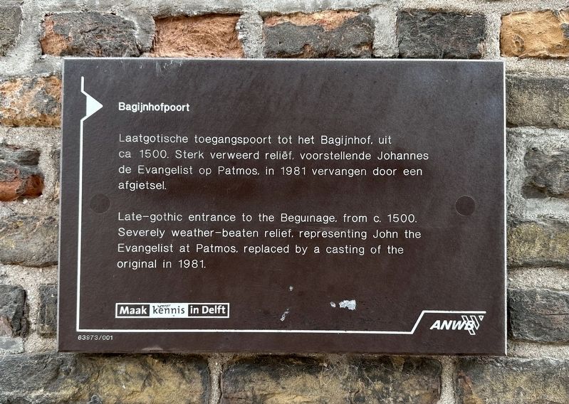
Bagijnhofpoort
Photographed by Andrew Ruppenstein, September 3, 2026
1. Bagijnhofpoort Marker

Laatgotische toegangspoort tot het Bagijnhof. Uit ca 1500. Sterk verweerd reliëf, voorstellende Johannes de Evangelist op Patmos, in 1981 vervangen door een afgietsel.
Erected by Maak kennis in Delft, ANWB. (Marker Number 63973/001.)
Topics. This historical marker is listed in this topic list: Man-Made Features. A significant historical year for this entry is 1500.
Location. 52° 0.835′ N, 4° 21.243′ E. Marker is in Delft, Zuid-Holland (South Holland). It is in Binnenstad. It is on Oude Delft, on the right when traveling south. Touch for map. Marker is at or near this postal address: Oude Delft 219, Delft, Zuid-Holland 2611 AN, Netherlands. Touch for directions.

Regionally, it is in Europe, the European Union, Atlantic Europe, the Benelux Low Countries, the Schengen Area, Western Europe, and the Western World. Historically, it finds itself in what was once the Roman Empire and specifically also
this page online
Other nearby markers. At least 8 other markers are within walking distance of this marker: Bagijnetoren / “Beguine Tower” (about 150 meters away, measured in a direct line); Oude Kerk / Old Church (about 210 meters away); Het Wapen van Savoyen / The Arms of Savoy (about 240 meters away); Gemeenlandshuis van Delfland (approx. 0.2 kilometers away); Stadsbakker van Delft / Delft City Bakery (approx. 0.3 kilometers away); Antoni van Leeuwenhoek (approx. 0.3 kilometers away); Heilige Geestkapel / Holy Ghost Chapel (approx. 0.4 kilometers away); Vleeshal / Meathall (approx. 0.4 kilometers away). Touch for a list and map of all markers in Delft.
Photographed by Andrew Ruppenstein, September 3, 2026
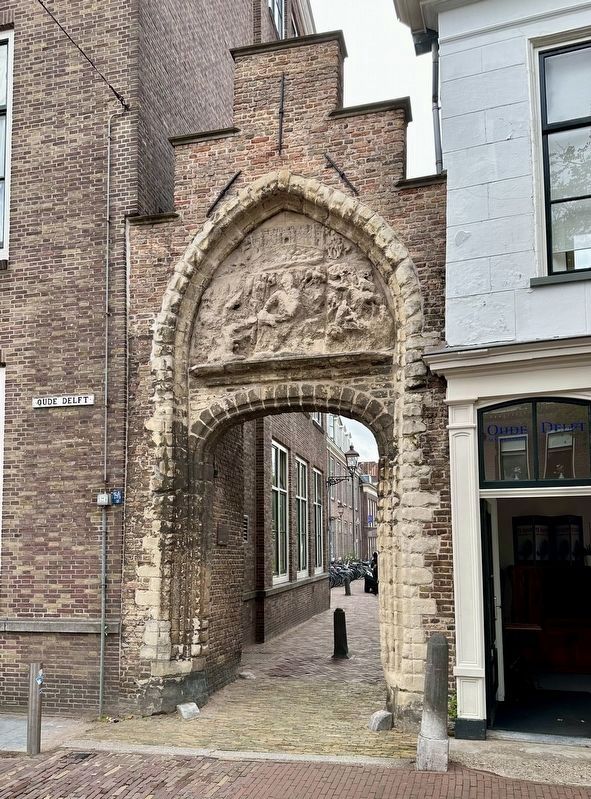
2. Bagijnhofpoort and marker
The marker is visible here attached to the wall inside and on the left side of the entryway. It’s easy to miss.
Photographed by Andrew Ruppenstein, September 3, 2026
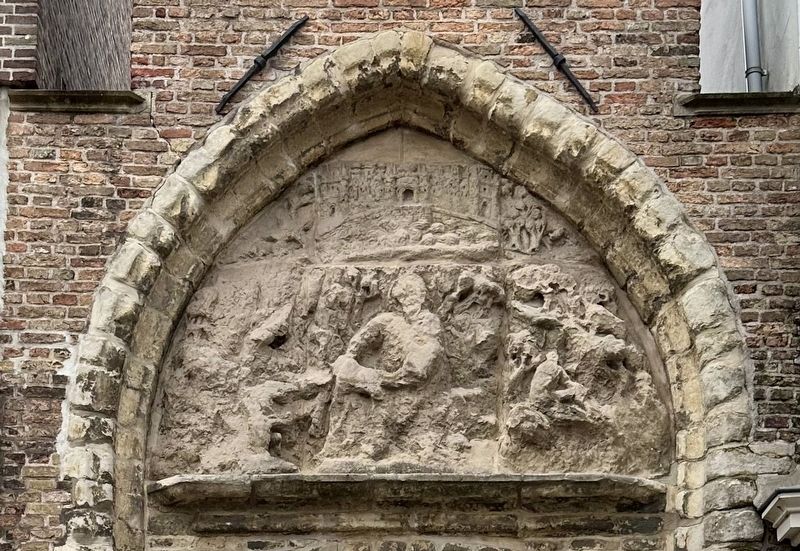
3. Bagijnhofpoort relief
As noted on the marker, this relief is a replacement of the original.
courtesy Trinity College, Watkinson Librar via JSTOR, circa 1910
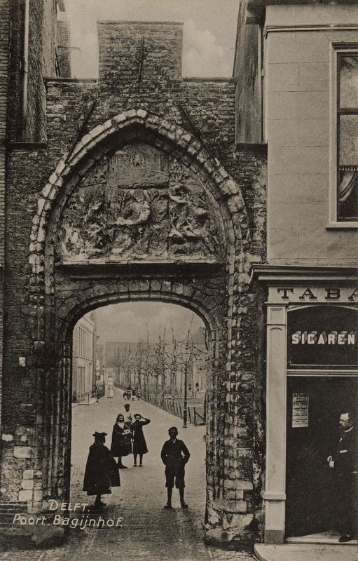
4. Bagijnhofpoort
Credits. This page was last revised on September 23, 2026. It was originally submitted on September 19, 2026, by Andrew Ruppenstein of Lamorinda, California. This page has been viewed 4 times since then. Photos: 1, 2, 3. submitted on September 19, 2026, by Andrew Ruppenstein of Lamorinda, California. 4. submitted on September 23, 2026, by Andrew Ruppenstein of Lamorinda, California.
