Near Pasco, Washington — The American West (Northwest)
Columbia River

Photographed by Barry Swackhamer, June 13, 2026
1. Columbia River Marker
The Columbia River flows from your right to the confluence then disappears into the distance before you. The Columbia begins its journey 875 miles upstream from here and will travel another 325 miles before reaching the ocean.
[Captions]
RIGHT
Lewis and Clark were the first to map the Columbia River from here to the Pacific Ocean. Clark's map of the rapids at the Cascades details the treacherous four-mile stretch that he called "The Great Shoote."
LEFT
Today, all the rushing rapids and falls seen by the Corps of Discovery on the Columbia River are submerged behind dams. This section of the river now flows gently between basalt cliffs in the Columbia River Gorge.
Topics. This historical marker is listed in these topic lists: Exploration • Waterways & Vessels.
Location. 46° 11.945′ N,
this page online

Regionally, this marker is in the American Lewis & Clark Corridor. Globally, it is in North America, on the Pacific Rim, in the Western Hemisphere, in the Western World, and in the Anglosphere.
Other nearby markers. At least 8 other markers are within walking distance of this marker: Snake River (here, next to this marker); Lewis & Clark Camp (within shouting distance of this marker); At the Confluence (within shouting distance of this marker); "Sah-cah-ga-weah" (within shouting distance of this marker); "great Columbia river" (within shouting distance of this marker); Lewis and Clark National Historic Trail (within shouting distance of this marker); Snake River Passage & Columbia Plains Crossing (within shouting distance of this marker); Mayor A. P. Gray (within shouting distance
Photographed by Barry Swackhamer, June 13, 2026
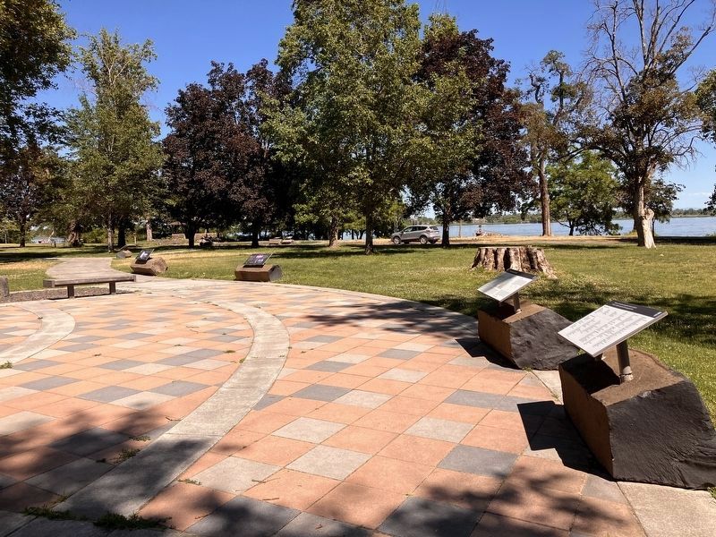
2. Columbia River Marker
Marker to the far left.
Credits. This page was last revised on September 20, 2026. It was originally submitted on September 20, 2026, by Barry Swackhamer of Brentwood, California. This page has been viewed 3 times since then. Photos: 1, 2. submitted on September 20, 2026, by Barry Swackhamer of Brentwood, California.
