
South Wharf in Melbourne, Victoria, Australia — Oceania
Transforming the Yarra
Photographed by Dean Barton-Ancliffe, August 24, 2026
1. Transforming the Yarra Marker
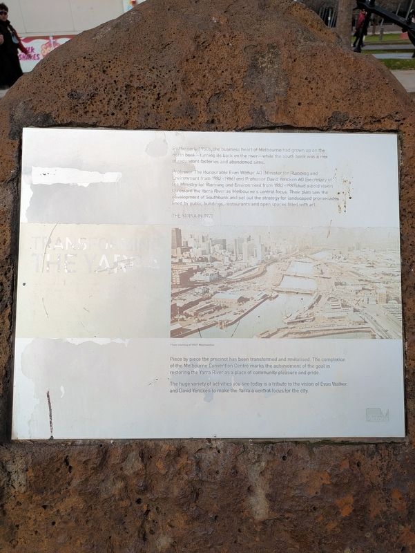
Professor The Honourable Evan Walker AO (Minister for Planning and Environment from 1982-1986) and Professor David Yencken AO (Secretary of the Ministry for Planning and Environment from 1982-1987) had a bold vision to restore the Yarra River as Melbourne's central focus. Their plan saw the development of Southbank and set out the strategy for landscaped promenades lined by public buildings, restaurants and open spaces fitted with art.
Piece by piece the precinct has been transformed and revitalised. The completion of the Melbourne Convention Centre marks the achievement of the goal in restoring the Yarra River as a place of community pleasure and pride.
The huge variety of activities you see today is a tribute to the vision of Evan Walker and David Yencken to make the Yarra a central focus for the city.
Topics. This historical marker is listed in this topic list: Parks & Recreational Areas. A significant historical year for this entry is 1971.
Location. 37° 49.442′ S,
this page online

Regionally, it is in Oceania, in Australasia, in the Pacific Ocean, in South Pacific, on the Pacific Rim, in the Western World, and in the Anglosphere. Historically, it finds itself in what was once a British colony.
Other nearby markers. At least 8 other markers are within walking distance of this marker: Merchant Navy Memorial (a few steps from this marker); Yarra River Banks (about 120 meters away, measured in a direct line); The Turning Basin (approx. 0.7 kilometers away); Customs House (approx. 0.8 kilometers away); Old Customs House Restoration (approx. 0.8 kilometers away); Australians' History (approx. 0.8 kilometers away); Melbourne Port Authority Building (approx. 0.8 kilometers away); The Battle of Flinders Street (approx. one kilometer away). Touch for a list and map of
Photographed by Dean Barton-Ancliffe, August 24, 2026
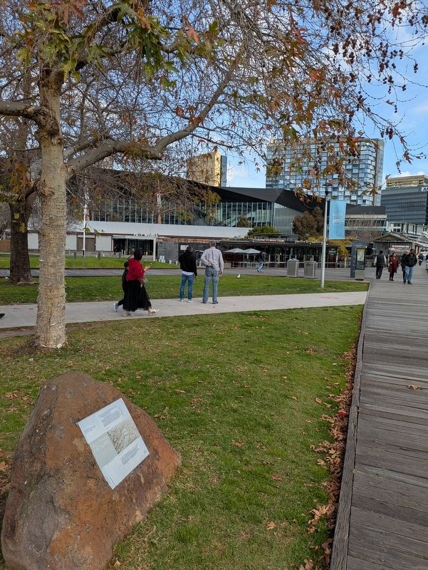
2. Transforming the Yarra Marker along the Yarra Promenade
Credits. This page was last revised on September 20, 2026. It was originally submitted on September 20, 2026, by Dean Barton-Ancliffe of Rowville, Victoria. This page has been viewed 4 times since then. Photos: 1, 2. submitted on September 20, 2026, by Dean Barton-Ancliffe of Rowville, Victoria. • Andrew Ruppenstein was the editor who published this page.
