Near Sargent in Matagorda County, Texas — The American South (West South Central)
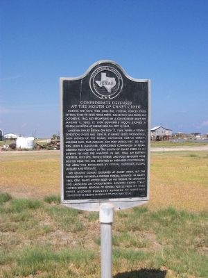
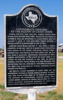
Confederate Defenses at the Mouth of Caney Creek
Another thrust began on November 7, 1863, when a Federal expedition under Maj. Gen. N. P. Banks seized Brownsville, then moved up the coast, capturing Corpus Christi, Aransas Pass, Pass Cavallo, and Port Lavaca (Dec. 26). Maj. Gen. John B. Magruder, Confederate commander of Texas, ordered fortification of the mouth of Caney Creek in an attempt to halt the invasion. In Jan. 1864, an earthen fortress, rifle pits, trench works, and four redoubts were erected near this site. Defended by 4000-6000 Confederates, the area was bombarded by Federal gunboats during January and February.
No ground combat occurred at Caney Creek, but the preparations deterred a further Federal advance. In March 1864, Gen. Banks moved most of his troops to Louisiana and launched an unsuccessful invasion along Texas' eastern border. Removal of Federal forces from key Texas ports allowed blockade runners to continue transporting needed materials to Civil War Texas. (1976)
Erected 1976 by Texas Historical Commission. (Marker Number 1024.)
Topics. This historical marker is listed in these topic lists: Forts and Castles • War, US Civil. A significant historical month for this entry is January 1888.
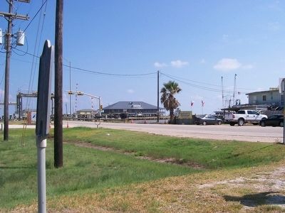
Location. 28° 46.303′ N, 95° 37.049′ W. Marker is near Sargent, Texas, in Matagorda County. Marker is at the intersection of Farm to Market #457 (Farm to Market Road 457) and Marina Drive when traveling east on Farm to Market #457. From Sargent take FM 457 east approximately 5 miles to the intra coastal waterway bridge/station. Touch for map. Marker is in this post office area: Bay City TX 77414, United States of America. Touch for directions.
Other nearby markers. At least 2 other markers are within 18 miles of this marker, measured as the crow flies. McCroskey-Stringfellow House (approx. 11.6 miles away); Stringfellow Ranch (approx. 18.1 miles away).
More about this marker. No remains of the fort exist at the present time, although relic hunters still frequent the area. The land is not protected.
Regarding Confederate Defenses at the Mouth of Caney Creek. From December 1863 to March 1864 there was nearly constant movement of troops so the list is incomplete but at least the following Confederate units were present:
2nd Texas Infantry Regt.
Debray's 26 Texas Cavalry Regt.
Liken's 35 Texas Cavalry Regt.
Gould's 6 Texas Cavalry Bn.
Terrell's 37 Texas Cavalry Regt.
Buchel's 1st Texas Mounted Rifle Regt.
McMahan's Texas Battery
Gibson's Texas Battery
Jones' Texas Battery
Confederate States Engineer Troops
Credits. This page was last revised on September 14, 2020. It was originally submitted on July 22, 2008, by Texmexfla of Houston, Texas. This page has been viewed 5,321 times since then and 46 times this year. Last updated on May 25, 2010, by John D. Stevens of Fresno, Texas. Photos: 1, 2, 3. submitted on July 22, 2008, by Texmexfla of Houston, Texas. • Craig Swain was the editor who published this page.


