Washington in Wilkes County, Georgia — The American South (South Atlantic)
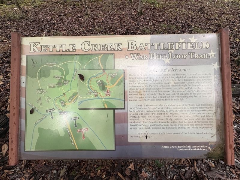
Clark's Attack
| — | Kettle Creek Battlefield • War Hill Loop Trail • | — |
Photographed by Darren Jefferson Clay, September 20, 2026
1. Clarke's Attack Marker
It was "...the severest check and chastisement the Tories ever received in South Carolina or Georgia", wrote Colonel Pickens in 1811. Reports following the battle indicated that approximately 20 Loyalists were killed, about 150 were taken prisoner and about 250 escaped to Augusta. Seven of the prisoners were eventually tried and hanged. Patriot losses were seven killed
this page online
The Patriot victory at Kettle Creek prevented the British from dominating the colony of Georgia.
Erected by Kettle Creek Battlefield Association.
Topics. This historical marker is listed in this topic list: War, US Revolutionary. A significant historical date for this entry is February 14, 1779.
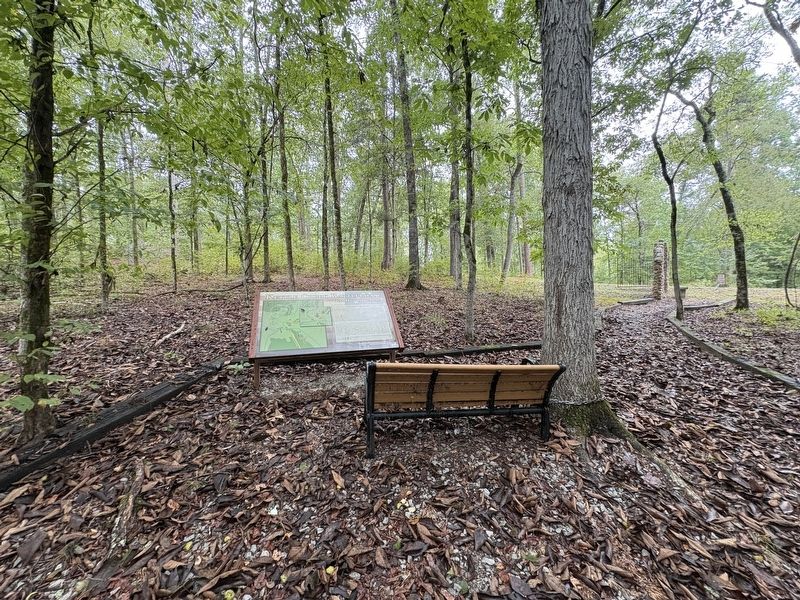
Location. 33° 41.444′ N, 82° 53.117′ W. Marker is in Washington, Georgia, in Wilkes County. It is on War Hill Road 0.2 miles south of Settlement Road, on the left when traveling west. Marker is in the woods to the left of the stone gate on War Hill Road before heading up the hill to the monument and cenotaphs. Touch for map. Marker is at or near this postal address: 298 War Hill Rd, Washington GA 30673, United States of America. Touch for directions.

Regionally, this marker is in the Piedmont. It is also in the American South and specifically
Photographed by Darren Jefferson Clay, September 20, 2026
2. Clarke's Attack Marker
Other nearby markers. At least 8 other markers are within 2 miles of this marker, measured as the crow flies: Battle of Kettle Creek (within shouting distance of this marker); a different marker also named The Battle of Kettle Creek (within shouting distance of this marker); Kettle Creek Battlefield (about 300 feet away, measured in a direct line); Overview of the Battle (about 300 feet away); Revolutionary War Soldiers' Burials (about 400 feet away); Early Colonial Roads (about 500 feet away); War Comes to Kettle Creek (approx. 0.2 miles away); Phillips Mills Baptist Church (approx. 1.6 miles away). Touch for a list and map of all markers in Washington.
More about this marker. The Lieutenant Colonel's name is spelled "Clark" in the title and "Clarke" in the text.
Also see . . .
1. Kettle Creek Battlefield Association. (Submitted on October 11, 2026.)
2. Kettle Creek. American Battlefield Trust (Submitted on October 11, 2026.)
Credits. This page was last revised on October 11, 2026. It was originally submitted on September 20, 2026, by Darren Jefferson Clay of Duluth, Georgia. This page has been viewed 7 times since then. Photos: 1, 2. submitted on October 6, 2026, by Darren Jefferson Clay of Duluth, Georgia. • Bernard Fisher was the editor who published this page.
