Lompoc in Santa Barbara County, California — The American West (Pacific Coastal)
Mission Vieja de la Purisima (1787-1812)
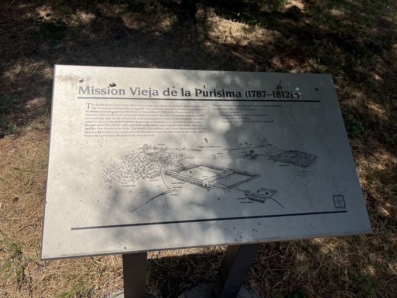
Photographed by Adam Margolis, June 1, 2026
1. Mission Vieja de la Pirisima (1787-1812) Marker
Topics. This historical marker is listed in these topic lists: Disasters • Indigenous Peoples and Communities • Religion & Religious Structures • Settlements & Settlers. A significant historical date for this entry is December 8, 1787.
Location. 34° 37.889′ N, 120° 27.353′ W. Marker is in Lompoc,
this page online

Regionally, this marker is on the Central Coast, specifically on the Coast Ranges, and specifically in the Transverse Ranges. It is also on the American Pacific Coast. Globally, it is in North America, on the Ring of Fire, on the Pacific Rim, in the Western Hemisphere, in the Western World, and in the Anglosphere. Historically, it finds itself in what was once New Spain and also Mexico’s Alta California.
Other nearby markers. At least 8 other markers are within walking distance of this marker: Mission Vieja: The Community (here, next to this marker); Original Site of Mission de La Purisima Concepcion de Maria Santisima (within shouting distance of this marker); Tragedy of Point Pedernales/Honda Point (about 700 feet away, measured in a direct line); Lompoc's Mission Vieja (approx. 0.4 miles away); Lompoc World War I Monument (approx. 0.4 miles away); Italian Stone Pines (approx. 0.4 miles
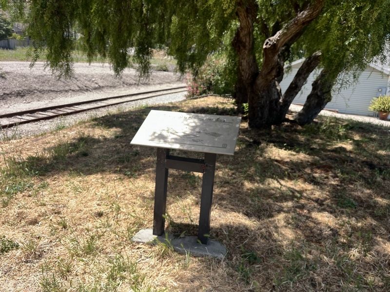
Photographed by Adam Margolis, June 1, 2026
2. Mission Vieja de la Purisima (1787-1812) Marker
Also see . . . Mission Vieja: The First Site of La Purisima Mission 1787-1812 (Smithsonian Learning Lab). Excerpt:
Established on December 8, 1787 La Purisima Mission is the eleventh of twenty-one missions in California. Between 1787 and 1812, La Purisima Mission thrived in terms of population and economic growth as well as increases in farming and livestock operations.(Submitted on September 21, 2026.)
December 21, 1812 changed everything. A large earthquake followed by a series of large rainstorms destroyed the mission site. The year 1812 is now known as The Year of the Earthquakes.
Following the devastating earthquake of 1812, the Mission Padres sought permission to relocate La Purisima Mission to a site located four miles away. Construction at the current location began in the spring of 1813.
Today, the original site of La Purisima Mission is known as "Mission Vieja" or the "Old Mission". Visitors can still see some of the original walls and entry way to the church. A vast majority of the site is covered by a neighborhood that was constructed during the mid-1900s.
Credits. This page was last revised on September 21, 2026. It was originally submitted on September 20, 2026, by Adam Margolis of Mission Viejo, California. This page has been viewed 4 times since then. Photos: 1, 2. submitted on September 20, 2026, by Adam Margolis of Mission Viejo, California. • Andrew Ruppenstein was the editor who published this page.
