Damascus in Van Buren County, Arkansas — The American South (West South Central)
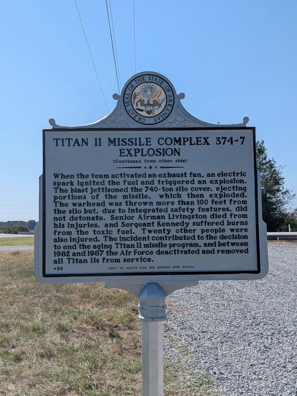
Titan II Missile Complex 374-7 Explosion

Photographed by Ashley Sides, September 18, 2026
1. Titan II Missile Complex 374-7 Explosion Marker, Side One
this page online
Erected 2026 by EAST at South Side Bee Branch High School; Arkansas Heritage. (Marker Number 56.)
Topics and series. This historical marker is listed in these topic lists: Air & Space • Disasters • War, Cold. In addition, it is included in the Arkansas Heritage series list. A significant historical date for this entry is September 18, 1980.
Location. 35° 24.552′ N, 92° 23.456′ W. Marker is in Damascus, Arkansas, in Van Buren County. It is on Highway 65 South (U.S. 65 S) 0.1 miles north of Sulphur Road, on the left when traveling north. On W side of Hwy 65 S, 250 yards north of Sulphur Rd, just across highway from Stacks Law Firm. Touch for map. Marker is at or near this postal address: 14124 Highway 65 S, Damascus AR 72039, United States of America. Touch for directions.

Regionally, this marker is on Arkansas’ Ozark Plateau. It is also in the American South, specifically in the Upper South, and
Photographed by Ashley Sides, September 18, 2026
2. Titan II Missile Complex 374-7 Explosion Marker, Side Two
Other nearby markers. At least 2 other markers are within 14 miles of this marker, measured as the crow flies: The War in Van Buren County / Troops Raised in Van Buren County (approx. 13.2 miles away); Van Buren County (approx. 13.2 miles away).
Photographed by Ashley Sides, September 18, 2026
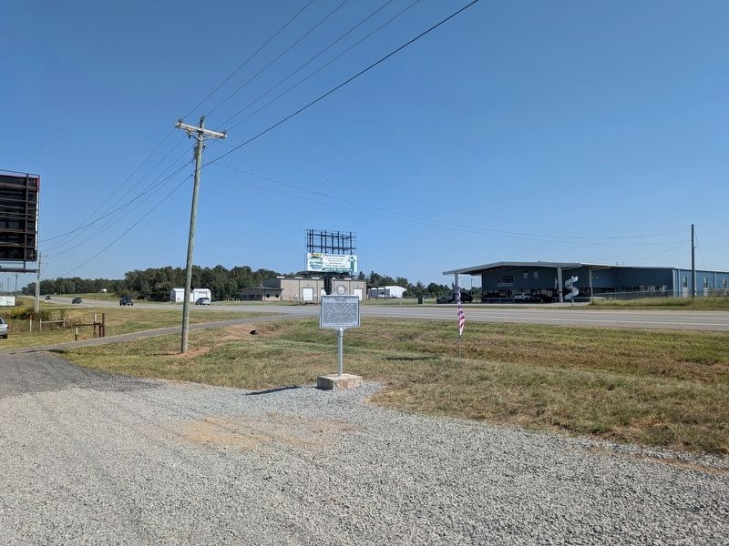
3. Titan II Missile Complex 374-7 Explosion Marker
Marker is across the highway from the Stacks Law Firm (blue building in this photograph).
Photographed by Ashley Sides, September 18, 2026
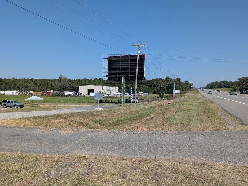
4. Titan II Missile Complex 374-7 Explosion Marker
Marker is accessible by driveway on west side of US-65 S. View looking north.
Photographed by Ashley Sides, September 18, 2026
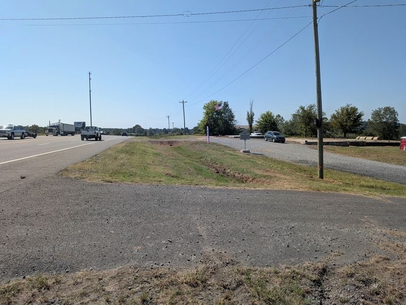
5. Titan II Missile Complex 374-7 Explosion Marker
View of marker adjacent to highway, looking south.
Credits. This page was last revised on September 21, 2026. It was originally submitted on September 21, 2026, by Ashley Sides of Little Rock, Arkansas. This page has been viewed 6 times since then. Photos: 1, 2, 3, 4, 5. submitted on September 21, 2026, by Ashley Sides of Little Rock, Arkansas. • Andrew Ruppenstein was the editor who published this page.
