Midtown - Downtown in Columbia in Richland County, South Carolina — The American South (South Atlantic)
Pulaski Street
Photographed by Jimmy Emerson, September 18, 2026
1. Pulaski Street Marker
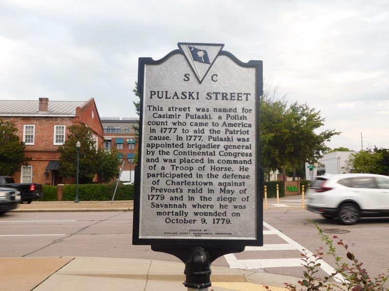
This street was named for Casimir Pulaski, a Polish count who came to America in 1777 to aid the Patriot cause. In 1777, Pulaski was appointed brigadier general by the Continental Congress and was placed in command of a Troop of Horse. He participated in the defense of Charlestown against Prevost's raid in May of 1779 and in the siege of Savannah where he was mortally wounded on October 9, 1779.
Erected 1977 by Richland County Bicentennial Commission.
Topics. This historical marker is listed in these topic lists: Patriots & Patriotism • Roads & Vehicles • War, US Revolutionary. A significant historical date for this entry is October 9, 1779.
Location. 33° 59.884′ N, 81° 2.602′ W. Marker is in Columbia, South Carolina, in Richland County. It is in Midtown - Downtown. It is at the intersection of Pulaski Street and Gervais Street (U.S. 378), on the right when traveling south on Pulaski Street. Touch for map. Marker is at or near this postal address: 520 Gervais Street, Columbia SC 29201, United States of America. Touch for directions.

Regionally, this marker is in the Midlands. It is also in the American South and
this page online
Other nearby markers. At least 8 other markers are within walking distance of this marker: Southeastern Freight Lines / Columbia Truck Terminal (a few steps from this marker); Confederate Printing Plant (within shouting distance of this marker); State Dispensary Warehouse (about 400 feet away, measured in a direct line); Huger Street (about 600 feet away); Joseph D. Sapp Memorial Bridge (about 600 feet away); Seaboard Air Line Passenger Depot (approx. 0.2 miles away); Site of Wayside Hospital (approx. 0.2 miles away); Gadsden Street (approx. 0.2 miles away). Touch for a list and map of all markers in Columbia.
Photographed by Jimmy Emerson, September 18, 2026
2. Pulaski Street Marker
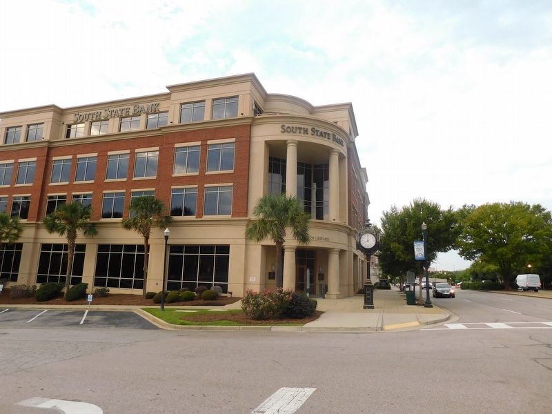
The marker is seen from the side, facing Gervais Street. The marker facing is the Southeastern Freight Lines marker.
Credits. This page was last revised on October 2, 2026. It was originally submitted on September 21, 2026, by Jimmy Emerson of Dalton, Georgia. This page has been viewed 6 times since then. Photos: 1, 2. submitted on September 21, 2026, by Jimmy Emerson of Dalton, Georgia. • Bernard Fisher was the editor who published this page.
