Highbridge in the Bronx in Bronx County, New York — The American Northeast (Mid-Atlantic)
Corporal Irwin Fischer Park
Photographed by Devry Becker Jones, September 20, 2026
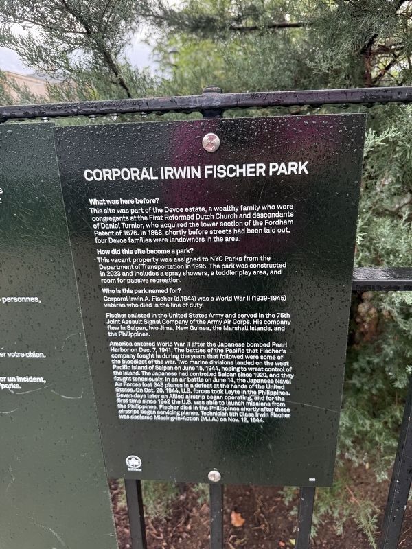
1. Corporal Irwin Fischer Park Marker
What was here before?
This site was part of the Devoe estate, a wealthy family who were congregants at the First Reformed Dutch Church and descendants of Daniel Turnier, who acquired the lower section of the Fordham Patent of 1676. In 1868, shortly before streets had been laid out, four Devoe families were landowners in the area.
How did this site become a park?
This vacant property was assigned to NYC Parks from the Department of Transportation in 1995. The park was constructed in 2023 and includes a spray showers, a toddler play area, and room for passive recreation.
Who is this park named for?
Corporal Irwin A. Fischer (d.1944) was a World War II (1939-1945) veteran who died in the line of duty.
Fischer enlisted in the United States Army and served in the 75th Joint Assault Signal Company of the Army Air Corps. His company flew in Saipan, Iwo Jima, New Guinea, the Marshall Islands, and the Philippines.
America entered World War II after the Japanese bombed Pearl Harbor on Dec. 7, 1941. The battles of the Pacific that Fischer's company fought in during the years that followed were some of the bloodiest
this page online
Erected by NYC Parks. (Marker Number 300.)
Topics and series. This historical marker is listed in these topic lists: Air & Space • Parks & Recreational Areas • Settlements & Settlers • War, World II. In addition, it is included in the NYC Parks series list. A significant historical date for this entry is November 12, 1944.
Location. 40° 50.437′ N, 73° 55.393′ W. Marker is in Bronx, New York, in Bronx County. It is in Highbridge.
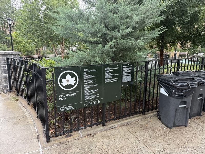

Regionally, this marker is in New York City. It is also in the American Northeast, in the Mid-Atlantic, and on the Eastern Seaboard. Globally, it is in the North Atlantic Region, North America, the Western Hemisphere, the Western World, and the Anglosphere. Historically, it finds itself in what was once New Netherland and also one of the original Thirteen Colonies.
Other nearby markers. At least 8 other markers are within walking distance of this marker: GreenThumb (about 600 feet away, measured in a direct line); Roberto Clemente Community Garden (about 600 feet away); Step Stairs (approx. 0.2 miles away); Old Croton Aqueduct Trail (approx. 0.2 miles away); Bridge Park (approx. ¼ mile away); The High Bridge (approx. 0.4 miles away); Featherbed Triangle (approx. 0.4 miles away); a different marker also named Old Croton Aqueduct Trail (approx. half a mile away). Touch for a list and map of all markers in Bronx.
Credits. This page was last revised on September 22, 2026. It was originally submitted on September 22, 2026, by Devry Becker Jones of Washington, District of Columbia. This page has been viewed 2 times since then. Photos: 1, 2. submitted on September 22, 2026, by Devry Becker Jones of Washington, District of Columbia.
