Valdez in Chugach Census Area, Alaska — Northwest (North America)
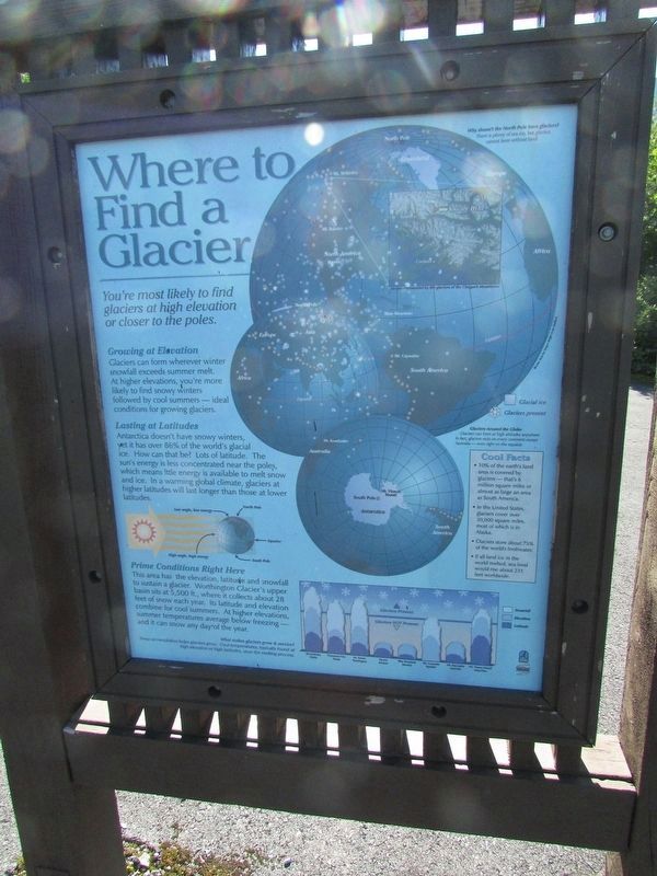
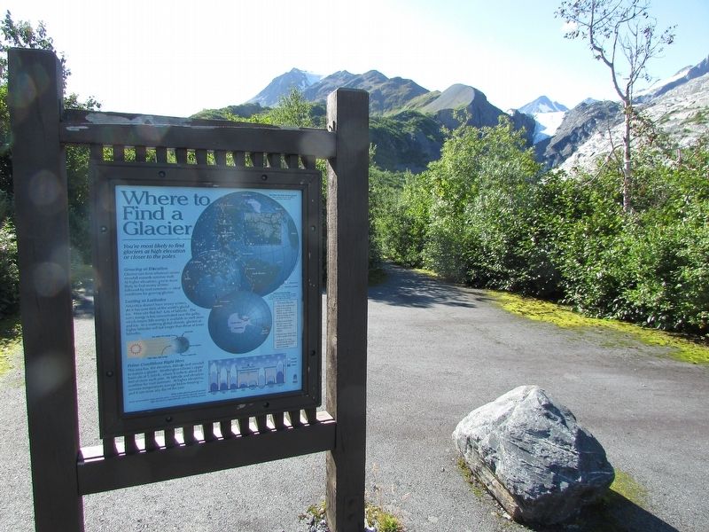
Where to Find a Glacier
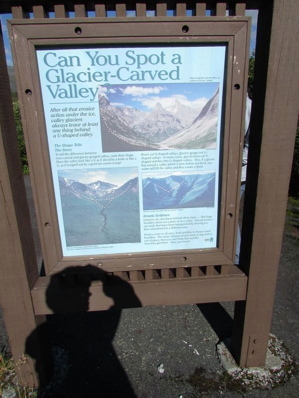
Can You Spot a Glacier-Carved Valley?
Photographed by Bill Coughlin, August 29, 2026
1. Where to Find a Glacier Marker
Growing at Elevation
Glaciers can form wherever winter snowfall exceeds summer melt. At higher elevations, you’re more likely to find snowy winters followed by cool summers – ideal conditions for growing glaciers.
Lasting at Latitudes
Antarctica doesn’t have snowy winters, yet it has over 86% of the world’s glacial ice. How can that be? Lots of latitude. The sun’s energy is less concentrated near the poles, which means little energy is available to melt snow and ice. In a warming global climate, glaciers at higher latitudes will last longer than those at lower latitudes.
Prime Conditions Right Here
This area has the elevation, latitude and snowfall to sustain a glacier. Worthington Glacier’s upper basin sits at 5,500 ft., where it collects about 28 feet of snow each year. Its latitude and elevation combine for cool summers. At higher elevations, summer temperatures average below freezing – and it can snow any day of the year.
Glaciers Around the Globe
Glaciers can form at high altitudes anywhere. In fact, glaciers exist on every
this page online
Cool Facts
• 10% of the earth’s land is covered by glaciers – that’s 6 million square miles or almost as large an area as South America.
• In the United States, glaciers cover over 30,000 square miles, most of which is in Alaska.
• Glaciers store about 75% of the world’s freshwater.
• If all land ice in the world melted, sea level would rise about 231 feet worldwide.
Why doesn’t the North Pole have glaciers?
There is plenty of sea ice, but glaciers cannot form without land.
After all that erosive action under the ice, valley glaciers always leave at least one thing behind: a U-shaped valley
The Shape Tells The Story
To tell the difference between river-carved and glacier-gouged valleys, note their shape. Does the valley look like a V, as if sliced by a knife or like a U, as if scraped out by a giant ice cream scoop?
Rivers cut V-shaped valleys; glaciers gouge out U-shaped valleys. In many cases, glacial rivers cut V-shaped notches into U-shaped valleys. Also, if a glacier has carved a valley which is now below sea level, sea water will fill
Photographed by Bill Coughlin, August 29, 2026
2. Can You Spot a Glacier-Carved Valley? Marker
This marker is on the reverse side.
Erratic Evidence
Glaciers can also leave behind other clues – like huge boulders alone on a plain or in a valley. Glacial erratics are rocks that have been transported by moving ice, then abandoned in a different area.
Erratics come in all sizes, from pebbles to house-sized boulders. The more obvious erratics look so big and so out of place, that you can’t help but wonder how they got there. Now you know.
Topics. This historical marker is listed in this topic list: Natural Features.
Location. 61° 10.07′ N, 145° 42.76′ W. Marker is in Valdez in Chugach Census Area, Alaska. It can be reached from Worthington Glacier Road, on the right when traveling south. Marker is at the Worthington Glacier State Recreation Site. Touch for map. Marker is at or near this postal address: 28.7 Richardson Hwy, Valdez AK 99686, United States of America. Touch for directions.

Regionally, this marker is in Southcentral Alaska. It is also on the American Pacific Coast. Globally, it is in North America, on the Ring of Fire, on the Pacific Rim, in the Western Hemisphere,
Photographed by Bill Coughlin, August 29, 2026
3. Where to Find a Glacier Marker
Other nearby markers. At least 8 other markers are within 9 miles of this marker, measured as the crow flies: Worthington Glacier Through Time (about 300 feet away, measured in a direct line); 2100 Pounds of Gold Abandoned on Thompson Pass (about 400 feet away); Worthington Glacier (about 400 feet away); Ice Creatures?! (about 400 feet away); Cracked Ice (about 400 feet away); Gold Rush Pioneer Trail: The Richardson Highway, Oldest Highway in Alaska (approx. 5.3 miles away); Horse and Sled Trail (approx. 8.3 miles away); Old Railroad Tunnel (approx. 8.4 miles away). Touch for a list and map of all markers in Valdez.
Photographed by Bill Coughlin, August 29, 2026
4. Can You Spot a Glacier-Carved Valley? Marker
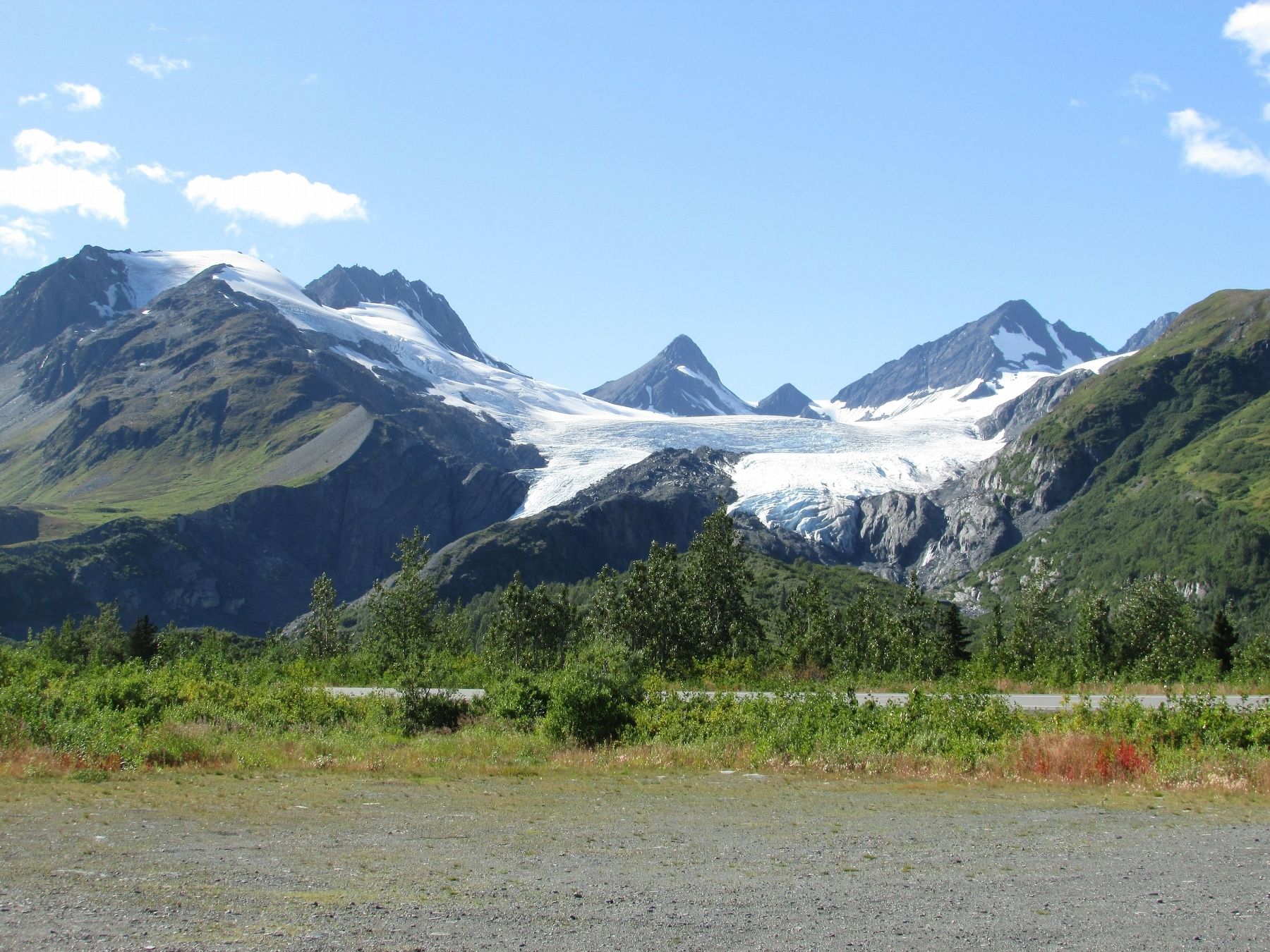
Photographed by Bill Coughlin, August 29, 2026
5. Worthington Glacier
Credits. This page was last revised on September 22, 2026. It was originally submitted on September 22, 2026, by Bill Coughlin of Woodland Park, New Jersey. This page has been viewed 6 times since then. Photos: 1, 2, 3, 4, 5. submitted on September 22, 2026, by Bill Coughlin of Woodland Park, New Jersey.
