Sondernheim in Germersheim, Rhineland-Palatinate, Germany — Central Europe
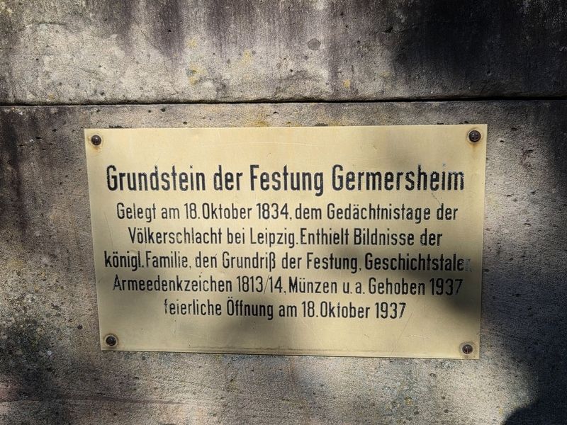
Grundstein der Festung Germersheim
⎯⎯⎯
Cornerstone of Germersheim Fortress
Photographed by James Hulse, September 15, 2026
1. Grundstein der Festung Germersheim / Cornerstone of Germersheim Fortress Marker

Laid on October 18, 1834, the anniversary of the Battle of Leipzig. It contained portraits of the royal family, a plan of the fortress, commemorative thalers, an army commemorative medal from 1813/14, coins, and other objects. The cornerstone was raised in 1937 and ceremonially opened on October 18, 1937.
Topics. This historical marker is listed in these topic lists: Notable Buildings • Wars, Non-US. A significant historical date for this entry is October 18, 1834.
Location. 49° 13.284′ N, 8° 22.295′ E. Marker is in Germersheim, Rheinland-Pfalz (Rhineland-Palatinate). It is in Sondernheim. It is on Ludwigsring 0.1 kilometers south of Bahnhofstraße, on the left when traveling north. Touch for map. Marker is at or near this postal address: Ludwigsring 2, Germersheim RP 76726, Germany. Touch for directions.

Regionally, this marker is on the German Upper Rhine. Globally, it is in Europe, the European Union, Atlantic Europe, Central Europe, the Schengen Area, Western Europe, and the Western World. Historically, it finds itself in what was once the Roman Empire, the Holy Roman Empire, and the former West Germany.
Other nearby markers. At least 8 other markers are within walking distance of this marker: Octroi-Häuschen / Octroi Toll House (within shouting distance of this marker); Ludwigstor / Ludwig Gate (within shouting distance
this page online
Photographed by James Hulse, September 15, 2026
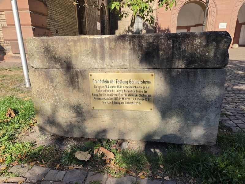
2. Grundstein der Festung Germersheim / Cornerstone of Germersheim Fortress Marker

Photographed by James Hulse, September 15, 2026
3. Grundstein der Festung Germersheim / Cornerstone of Germersheim Fortress Marker
The view of the marker and cornerstone in front of the Ludwig Gate.
Credits. This page was last revised on September 25, 2026. It was originally submitted on September 24, 2026, by James Hulse of Medina, Texas. This page has been viewed 5 times since then. Photos: 1, 2, 3. submitted on September 24, 2026, by James Hulse of Medina, Texas.
