Gouda, South Holland, Netherlands — Northwestern Europe
Mallegatsluis
⎯⎯⎯
Mallegat Lock
Photographed by Andrew Ruppenstein, September 2, 2026
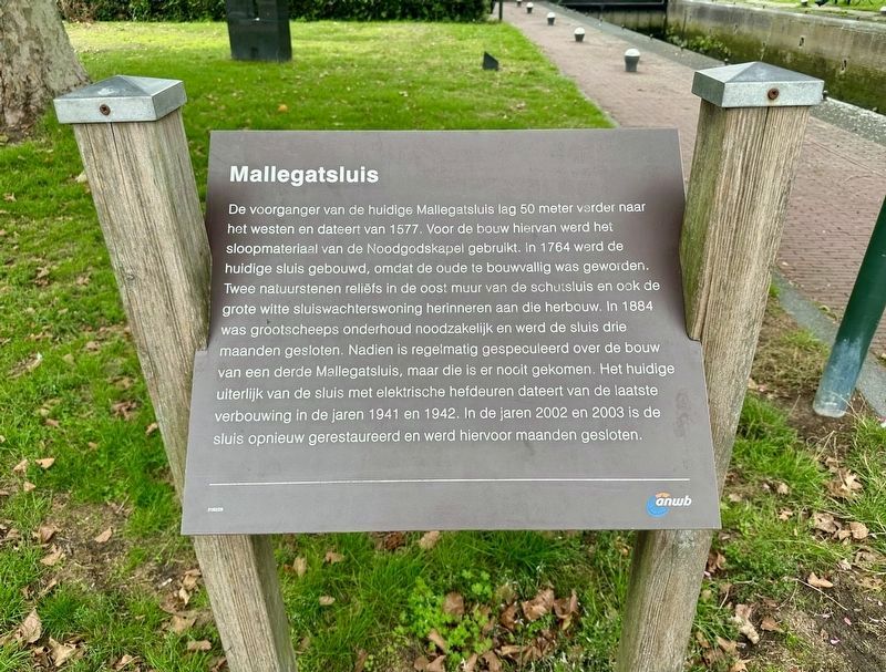
1. Mallegatsluis / Mallegat Lock Marker

De voorganger van de huidige Mallegatsluis lag 50 meter verder naar het westen en dateert van 1577. Voor de bouw hiervan werd het sloopmateriaal van de Noodgodskapel gebruikt. In 1764 werd de huidige sluis gebouwd, omdat de oude te bouwvallig was geworden. Twee natuurstenen reliëfs in de oost muur van de schutsluis en ook de grote witte sluiswachterswoning herinneren aan die herbouw. In 1884 was grootscheeps onderhoud noodzakelijk en werd de sluis drie maanden gesloten. Nadien is regelmatig gespeculeerd over de bouw van een derde Mallegatsluis, maar die is er nooit gekomen. Het huidige uiterlijk van de sluis met elektrische hefdeuren dateert van de laatste verbouwing in de jaren 1941 en 1942. In de jaren 2002 en 2003 is de sluis opnieuw gerestaureerd en werd hiervoor maanden gesloten.
Mallegat Lock
The predecessor to the current Mallegatsluis (“Mallegat Lock”) was located 50 meters further west and dated back to 1577. Demolition materials from the Noodgodskapel (Chapel of Our Lord of Sorrows) were used in its construction. The current lock was built in 1764
this page online
Erected by the ANWB. (Marker Number 2162/29.)
Topics. This historical marker is listed in this topic list: Waterways & Vessels.
Location. 52° 0.41′ N, 4° 42.686′ E. Marker is in Gouda, Zuid-Holland (South Holland). It is at the intersection of Mallegatsluis and Veerstal on Mallegatsluis. Touch for map. Marker is in this post office area: Gouda, Zuid-Holland 2802 RB, Netherlands. Touch for directions.

Regionally, it is in Europe, the European Union,
Photographed by Andrew Ruppenstein, September 2, 2026
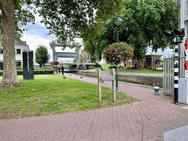
2. Mallegatsluis / Mallegat Lock marker, with the lock in the background
Other nearby markers. At least 8 other markers are within walking distance of this marker: Veerstalpoort of Waterpoort / Veerstal Gate or Water Gate (about 90 meters away, measured in a direct line); Kaaspakhuizen / Cheese Warehouses (about 90 meters away); Pieter Hugesztoren / Pieter Hugesz Tower (about 120 meters away); De Sterke Samsom (about 180 meters away); IJsfabriek William Barendsz / William Barendsz Ice Factory (about 180 meters away); Nieuwe Veerstal en bolwerk de Punt / New Veerstal and the 'De Punt' Bastion (about 180 meters away); Voormalig postkantoor / Former Post Office (about 210 meters away); Woonhuis van Arie Blanken / Residence of Arie Blanken (about 210 meters away). Touch for a list and map of all markers in Gouda.
Also see . . . Mallegatsluis (Wikipedia, in Dutch). Excerpt (in translation):
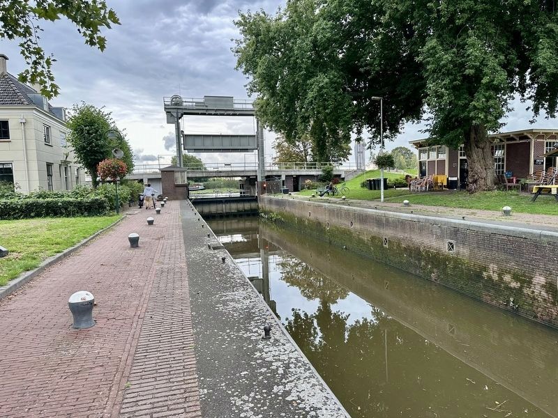
The Mallegatsluis is a lock with lifting gates situated between the Hollandsche IJssel river(Submitted on September 24, 2026.)and the Turfsingel—one of the canals encircling the Dutch city of Gouda in the province of South Holland. …Photographed by Andrew Ruppenstein, September 2, 20263. Mallegatsluis / Mallegat LockLooking south, towards the Hollandse IJssel
The lock measures 45.00 m in length and 7.85 m in width,…
Over the centuries, this lock has been relocated and rebuilt several times. The Mallegatsluis is designated as a municipal monument.
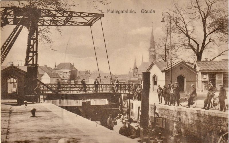
circa 1928
4. Mallegatsluis, Gouda
Looking north, towards the Turfsingel
Credits. This page was last revised on September 24, 2026. It was originally submitted on September 24, 2026, by Andrew Ruppenstein of Lamorinda, California. This page has been viewed 5 times since then. Photos: 1, 2, 3, 4. submitted on September 24, 2026, by Andrew Ruppenstein of Lamorinda, California.
