Carthage in Jasper County, Missouri — The American Midwest (Upper Plains)
Whee Bridge
Photographed by Jason Voigt, September 22, 2026
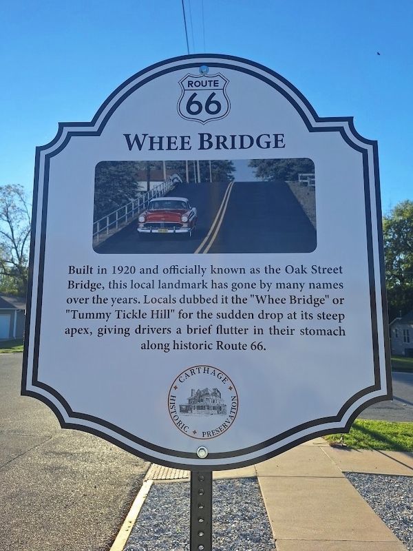
1. Whee Bridge Marker
Built in 1920 and officially known as the Oak Street Bridge, this local landmark has gone by many names over the years. Locals dubbed it the "Whee Bridge' or "Tummy Tickle Hill" for the sudden drop at its steep apex, giving drivers a brief flutter in their stomach along historic Route 66.
Erected by Carthage Historic Preservation.
Topics and series. This historical marker is listed in these topic lists: Bridges & Viaducts • Roads & Vehicles. In addition, it is included in the U.S. Route 66 series list. A significant historical year for this entry is 1920.
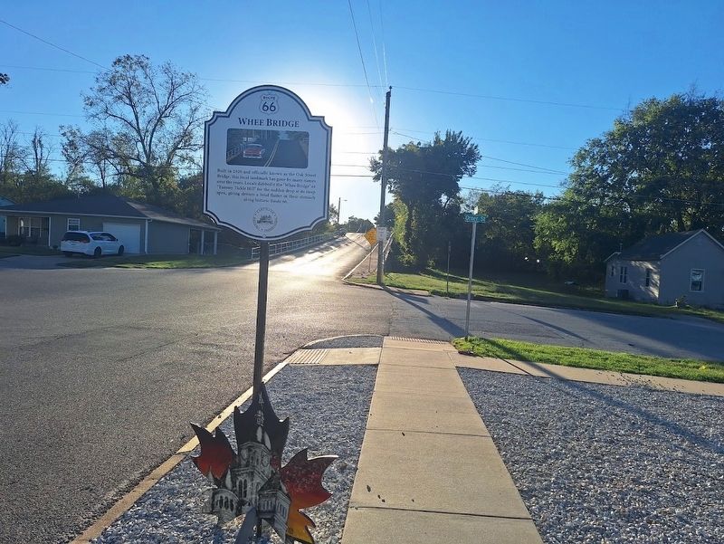
Location. 37° 10.592′ N, 94° 19.038′ W. Marker is in Carthage, Missouri, in Jasper County. It is at the intersection of Oak Street and South Orner Street, on the right when traveling west on Oak Street. Touch for map. Marker is at or near this postal address: 525 Oak St, Carthage MO 64836, United States of America. Touch for directions.

Regionally, this marker is in Southwest Missouri. It is also in the American Lewis & Clark Corridor and in the Corn Belt. Globally, it is in North America, the Western Hemisphere, the Western World, and the Anglosphere.
this page online
Other nearby markers. At least 8 other markers are within walking distance of this marker: War Memorial (approx. 0.2 miles away); Jefferson Highway in Carthage (approx. 0.2 miles away); Boots Court, Carthage, Missouri (approx. 0.2 miles away); Eliel Lanyon (E.L.) Dale (approx. ¼ mile away); Vietnam Memorial For Casualties From Missouri (approx. 0.3 miles away); Osage War (approx. 0.4 miles away); Battle of Carthage (approx. 0.4 miles away); Charles Pollard Wood (approx. 0.4 miles away). Touch for a list and map of all markers in Carthage.
Regarding Whee Bridge. As early as late 2025, there have been talks in plans for replacing the bridge. This is due to its deteriorating condition and age. Construction may begin in 2027.
Photographed by Jason Voigt, September 22, 2026
2. Whee Bridge Marker
Photographed by Jason Voigt, September 22, 2026
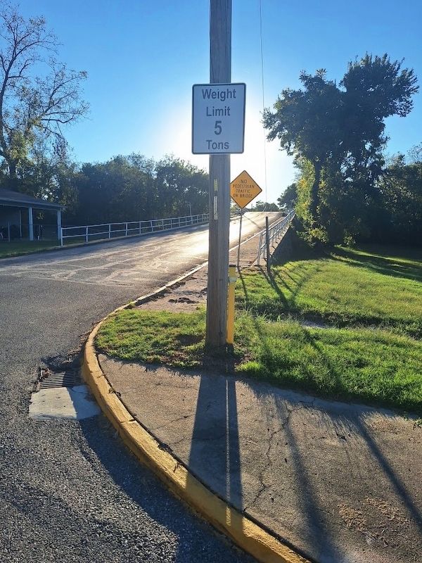
3. Whee Bridge Marker
Credits. This page was last revised on September 24, 2026. It was originally submitted on September 24, 2026, by Jason Voigt of Glen Carbon, Illinois. This page has been viewed 10 times since then. Photos: 1, 2, 3. submitted on September 24, 2026, by Jason Voigt of Glen Carbon, Illinois.
