Perry in Washtucna in Franklin County, Washington — The American West (Northwest)
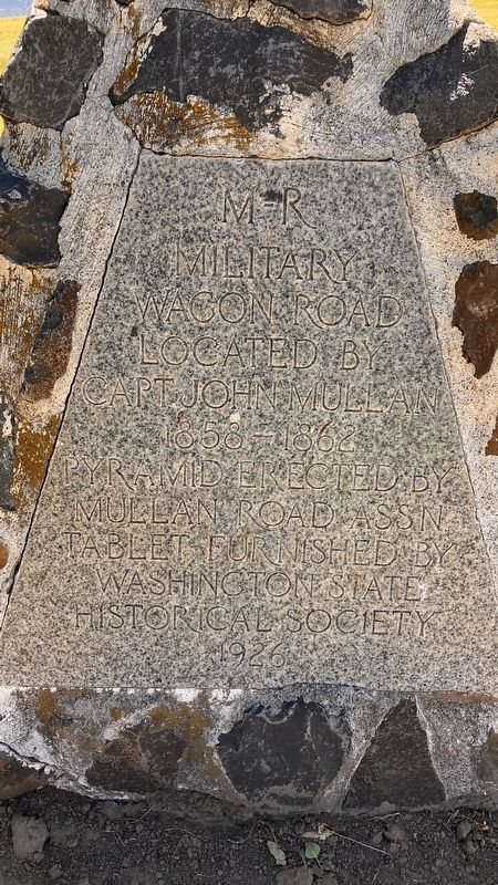
M-R Military Wagon Road
Photographed by Barry Swackhamer, June 14, 2026
1. M-R Military Wagon Road Marker
Capt. John Mullan
1858 = 1862
Pyramid Erected By
Mullan Road Assn
Tablet Furnished by
Washington State
Historical Society
1929
Erected by Washington State Historical Society.
Topics. This historical marker is listed in these topic lists: Military • Roads & Vehicles.
Location. 46° 35.729′ N, 118° 13.15′ W. Marker is in Washtucna, Washington, in Franklin County. It is in Perry. It can be reached from Washington Route 261 near Lyons Ferry Road, on the right when traveling north. The marker is located in Lyons Ferry State Park. Touch for map. Marker is in this post office area: Washtucna WA 99371, United States of America. Touch for directions.

Regionally, this marker is in the Columbia Basin. It is also in the American Mountain West and in the Lewis & Clark Corridor. Globally, it is in North America, on the Pacific Rim, in the Western Hemisphere, in the Western World, and in the Anglosphere.
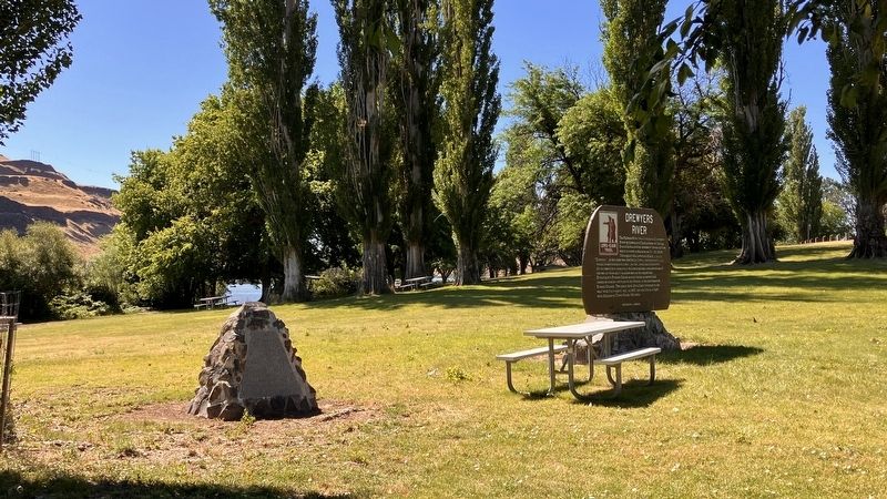
Other nearby markers. At least 8 other markers are within 5 miles of this marker, measured as the crow flies: Drewyers River (here, next to this marker); M - R Military Road (within shouting distance of this marker); Cataclysmic Floods (within shouting distance of this marker); Floods Reveal the Past (within shouting distance of this marker); Small Town, Big Voice (approx. 4.7 miles away); Overwhelming Proof for an "Outrageous" Theory (approx. 4.7 miles away); Setting the Stage (approx. 4.7 miles away); Stealing a Stream (approx. 4.7 miles away). Touch for a list and map of all markers in Washtucna.
this page online
Photographed by Barry Swackhamer, June 14, 2026
2. M-R Military Wagon Road Marker
Credits. This page was last revised on September 26, 2026. It was originally submitted on September 24, 2026, by Barry Swackhamer of Brentwood, California. This page has been viewed 4 times since then. Photos: 1, 2. submitted on September 24, 2026, by Barry Swackhamer of Brentwood, California.
