Ariel Cross Roads in Marion County, South Carolina — The American South (South Atlantic)
St. James A.M.E. Church
Photographed by Jimmy Emerson, September 20, 2026
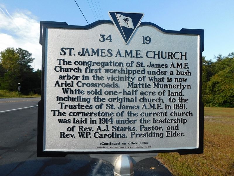
1. St James A.M.E. Church Marker
The congregation of St. James A.M.E. Church first worshipped under a bush arbor in the vicinity of what is now Ariel Crossroads. Mattie Munnerlyn White sold one-half acre of land, including the original church, to the Trustees of St. James A.M.E. in 1891. The cornerstone of the current church was laid in 1914 under the leadership of Rev. A.J. Starks, Pastor, and Rev. W.P. Carolina, Presiding Elder.
Erected 2014 by St James A.M.E. Church. (Marker Number 34-19.)
Topics. This historical marker is listed in these topic lists: African Americans • Cemeteries & Burial Sites • Education • Religion & Religious Structures. A significant historical year for this entry is 1914.
Location. 34° 3.88′ N,
this page online

Regionally, this marker is in the Pee Dee. It is also in the American South and specifically in the Deep South. Globally, it is in North America, the Western Hemisphere, the Western World, and the Anglosphere. Historically, it finds itself in what was once the territory of the Mississippian Culture, one of the original Thirteen Colonies, one of the Confederate States of America, and the Antebellum South.
Other nearby markers. At least 8 other markers are within 9 miles of this marker, measured as the crow flies: Battle of Blue Savannah (approx. 0.6 miles away); Galivants Ferry Stump Meeting (approx. 3.8 miles away); Galivants Ferry (approx. 3.8 miles away); Holliday Highway (approx. 3.8 miles away); Levister Elementary School (approx. 8.1 miles away); Waccamaw Tribal Grounds (approx. 8½ miles away);
Photographed by Jimmy Emerson, September 20, 2026
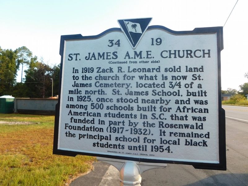
2. St James A.M.E. Church Marker
Another marker is no longer nearby. Battle of Blue Savannah (was approx. 1.1 miles away but has been replaced with another marker now near it).
Photographed by Jimmy Emerson, September 20, 2026
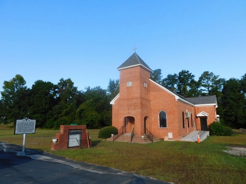
3. St James A.M.E. Church & Marker
Credits. This page was last revised on October 10, 2026. It was originally submitted on September 24, 2026, by Jimmy Emerson of Dalton, Georgia. This page has been viewed 11 times since then. Photos: 1, 2, 3. submitted on September 24, 2026, by Jimmy Emerson of Dalton, Georgia. • Bernard Fisher was the editor who published this page.
