Ariel Cross Roads in Marion County, South Carolina — The American South (South Atlantic)
Battle of Blue Savannah
Photographed by Jimmy Emerson, September 20, 2026
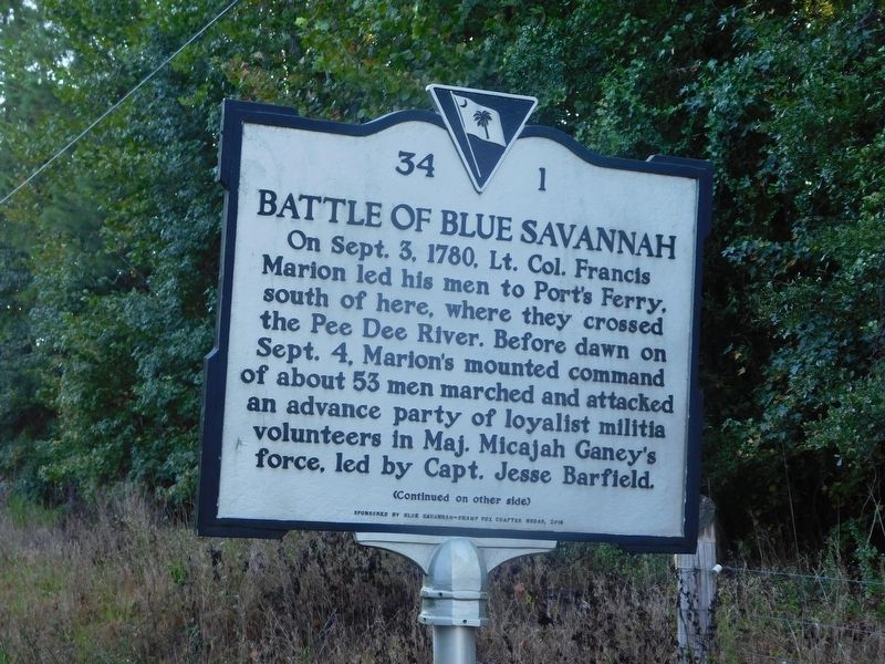
1. Battle of Blue Savannah Marker
On Sept. 3, 1780, Lt. Col. Francis Marion led his men to Port's Ferry, south of here, where they crossed the Pee Dee River. Before dawn on Sept. 4, Marion's mounted command of about 53 men marched and attacked an advance party of loyalist militia volunteers in Maj. Micajah Ganey's force, led by Capt. Jesse Barfield.
Erected 2016 by Blue Savannah-Swamp Fox Chapter NSDAR. (Marker Number 34-1.)
Topics. This historical marker is listed in these topic lists: War, US Revolutionary • Waterways & Vessels. A significant historical date for this entry is September 3, 1780.
Location. 34° 4.295′ N, 79° 18.34′ W. Marker is in Ariel Cross Roads, South Carolina, in Marion
this page online

Regionally, this marker is in the Pee Dee. It is also in the American South and specifically in the Deep South. Globally, it is in North America, the Western Hemisphere, the Western World, and the Anglosphere. Historically, it finds itself in what was once the territory of the Mississippian Culture, one of the original Thirteen Colonies, one of the Confederate States of America, and the Antebellum South.
Other nearby markers. At least 8 other markers are within 9 miles of this marker, measured as the crow flies: St. James A.M.E. Church (approx. 0.6 miles away); Galivants Ferry Stump Meeting (approx. 3.6 miles away); Galivants Ferry (approx. 3.7 miles away); Holliday Highway (approx. 3.7 miles away); Levister Elementary School (approx. 8.2 miles away); Waccamaw Tribal Grounds (approx. 8.6 miles away); World War Memorial (approx. 8.8 miles away); Veterans Memorial Triangle (approx. 8.9
Photographed by Jimmy Emerson, September 20, 2026
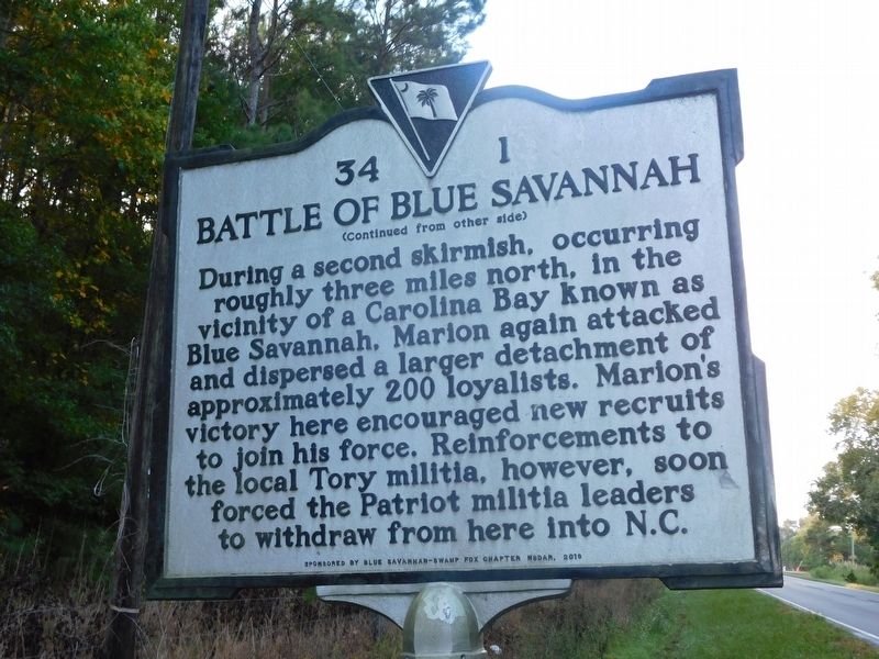
2. Battle of Blue Savannah Marker
Another marker is no longer nearby. Battle of Blue Savannah (was approx. 0.7 miles away but has been replaced with another marker now near it).
Photographed by Jimmy Emerson, September 20, 2026
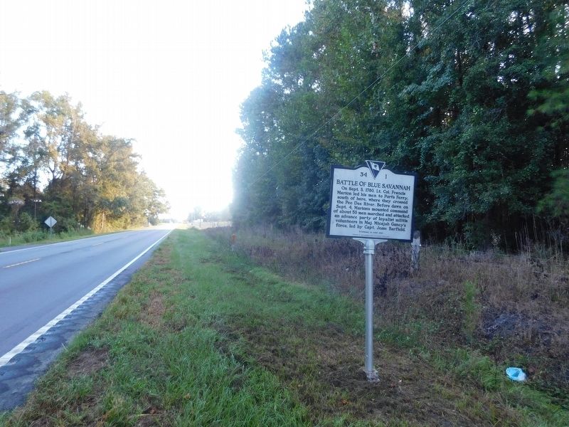
3. Battle of Blue Savannah Marker
Credits. This page was last revised on September 30, 2026. It was originally submitted on September 24, 2026, by Jimmy Emerson of Dalton, Georgia. This page has been viewed 13 times since then. Photos: 1, 2, 3. submitted on September 24, 2026, by Jimmy Emerson of Dalton, Georgia. • Bernard Fisher was the editor who published this page.
