Breslau in Woolwich in Waterloo Region, Ontario — Central Canada (North America)
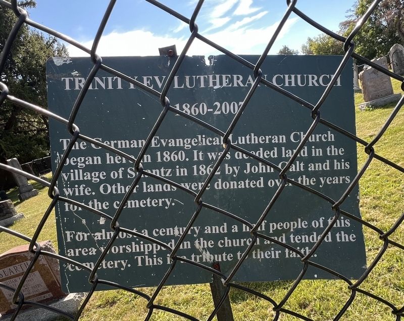
Trinity Ev. Lutheran Church
1860-2007
Photographed by Tim Boyd, September 25, 2026
1. Trinity Ev. Lutheran Church Marker
For almost a century and a half people of this area worshipped in the church and tended the cemetery. This is a tribute to their faith.
Topics. This historical marker is listed in these topic lists: Cemeteries & Burial Sites • Religion & Religious Structures. A significant historical year for this entry is 1860.
Location. 43° 29.842′ N, 80° 22.098′ W. Marker is in Woolwich, Ontario, in Waterloo Region. It is in Breslau. It is on Kramp Road 0.7 kilometers east of Shantz Station Road, on the right when traveling east. Touch for map. Marker is at or near this postal address: 1248 Kramp Road, Woolwich ON N0B 1M0, Canada. Touch for directions.

Regionally, this marker is in the Huron-Perth-Waterloo-Wellington Area and in Southwestern Ontario. It is also in Central Canada. Globally, it is in North America, the Western Hemisphere, the Western World, and the Anglosphere. Historically, it finds itself in what was once
this page online
Other nearby markers. At least 8 other markers are within 10 kilometers of this marker, measured as the crow flies: Black Bridge Road Bridge (approx. 7.6 kilometers away); First Mennonite Sunday School (approx. 7.7 kilometers away); Jacob’s Landing and Hespeler Mill Pond (approx. 8.5 kilometers away); Free Church and Cemetery (approx. 8.6 kilometers away); History of the Riverbank (approx. 8.6 kilometers away); Tannery Street/ Forbes Park Area (approx. 8.7 kilometers away); Hespeler Cenotaph (approx. 8.7 kilometers away); Site of the Samuel Bechtel Meeting House and Burial Ground (approx. 9.4 kilometers away).
Photographed by Tim Boyd, September 25, 2026
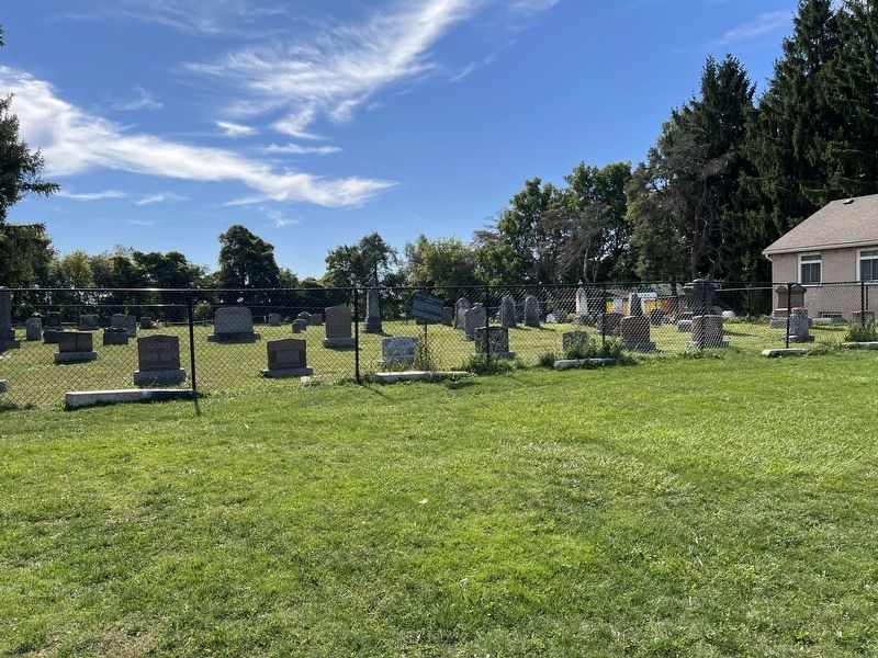
2. Trinity Ev. Lutheran Church Marker
Centre of photo
Photographed by Tim Boyd, September 25, 2029
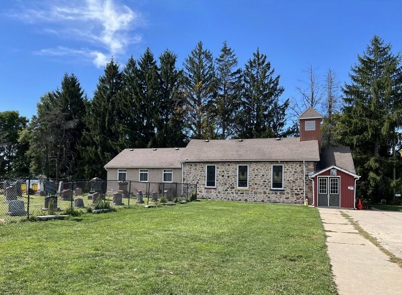
3. Former Trinity Ev. Lutheran Church in 2026
Credits. This page was last revised on September 27, 2026. It was originally submitted on September 26, 2026, by Tim Boyd of Hamilton, Ontario. This page has been viewed 7 times since then. Photos: 1, 2, 3. submitted on September 26, 2026, by Tim Boyd of Hamilton, Ontario. • Andrew Ruppenstein was the editor who published this page.
