Near Camp Pendleton South in San Diego County, California — The American West (Pacific Coastal)
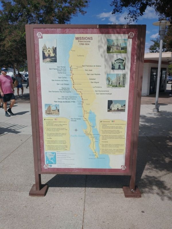
Missions
Franciscans
| — | 1769-1834 | — |
Photographed by Tom Bosse, September 5, 2026
1. Missions Marker
Franciscans
• Founded 21 missions in California over a 65 year perios. They founded 1 mission in Baja California, San Fernando de Velicata (1769).
• The first Franciscan mission founded in California was San Diego de Alcala (1769), by Father Junipero Serra.
• The Franciscans fulfilled their mission of evangelizing the indigenous people and colonizing the California territory.
Founders
• Father Junipero Serra – Considered the “Father of the Missions” of California. He founded 9 missions in a 15 year period.
• Father Fermin Lasuen – He became Father President of the Franciscan missions, after Junipero Serra’s death. He founded 9 missions and governed them for 18 years.
Erected 2007 by CalTrans.
Topics. This historical marker is listed in these topic lists: Colonial Era • Religion & Religious Structures • Settlements & Settlers.
Location. 33° 16.329′ N, 117° 26.64′ W. Marker is near Camp Pendleton South, California, in San Diego County. It can be reached from El Camino Real (Interstate 5), on the right when traveling south. Marker is located
this page online

Regionally, this marker is in the Peninsular Ranges. It is also in the American Borderlands and on the Pacific Coast. Globally, it is in North America, on the Ring of Fire, on the Pacific Rim, in the Western Hemisphere, in the Western World, and in the Anglosphere. Historically, it finds itself in what was once New Spain and also Mexico’s Alta California.
Other nearby markers. At least 8 other markers are within 5 miles of this marker, measured as the crow flies: Missions in Baja California (a few steps from this marker); El Camino Real Guidepost Bells (approx. half a mile away); Las Flores Adobe (approx. 2.1 miles away); Las Flores Asistencia (approx. 2.1 miles away); Las Flores View Point (approx. 3.7 miles away); El Camino Real Bell (approx. 4.4 miles away); Retreat Hell! (approx. 4½ miles away); Boys of '45 (approx. 4½ miles away). Touch for a list and map of all markers in Camp Pendleton South.
Related markers. Click here for a list of markers that are related
Photographed by Tom Bosse, September 5, 2026
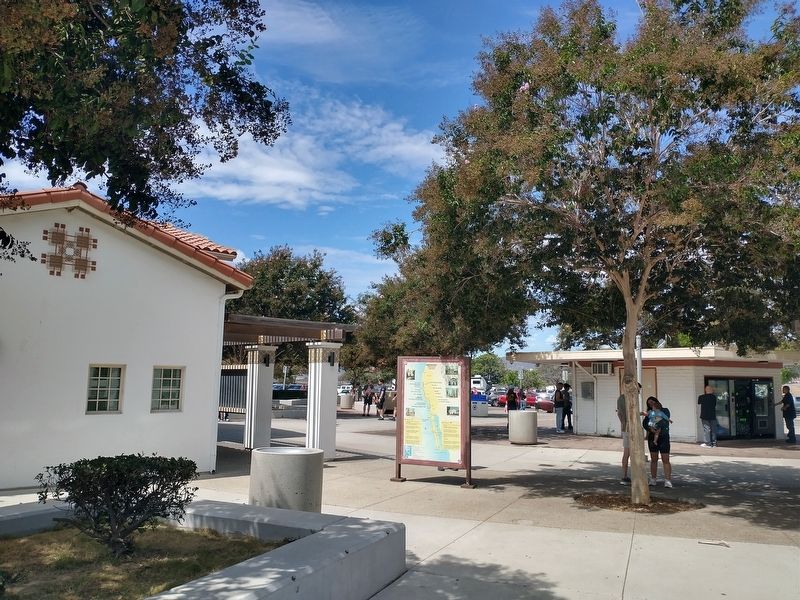
2. Missions Marker
Credits. This page was last revised on September 30, 2026. It was originally submitted on September 26, 2026, by Tom Bosse of Jefferson City, Tennessee. This page has been viewed 6 times since then. Photos: 1, 2. submitted on September 26, 2026, by Tom Bosse of Jefferson City, Tennessee. • Andrew Ruppenstein was the editor who published this page.
