Aylesbury in Buckinghamshire, England, United Kingdom — Northwestern Europe (the British Isles)
The Dead House
Photographed by Ray Gurganus, May 23, 2026
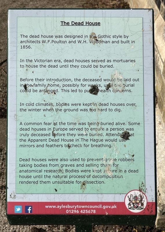
1. The Dead House Marker
In the Victorian era, dead houses served as mortuaries to house the dead until they could be buried.
Before their introduction, the deceased would be laid out in the family home, possibly for weeks, until the burial could be arranged. This led to public health concerns.
In cold climates, bodies were kept in dead houses over the winter when the ground was too hard to dig.
A common fear at the time was being buried alive. Some dead houses in Europe served to ensure a person was truly deceased before they were buried. Attendants at the Apparent Dead House in The Hague would use mirrors and feathers to check for breathing.
Dead houses were also used to prevent grave robbers taking bodies from graves and selling them for anatomical research. Bodies were kept sure in a dead house until the natural process of decomposition rendered them unsuitable for dissection.
Erected by Aylesbury Town Council.
Topics. This historical marker is listed in this topic list: Cemeteries & Burial Sites. A significant historical year for this entry is 1856.
Location. 51° 48.852′ N,
this page online

Regionally, this marker is in the Greater South East. Globally, it is on the Atlantic Ocean, in the North Atlantic Region, in Europe, in Atlantic Europe, on one of the British Isles, in the Western World, and in the Anglosphere. Historically, it finds itself in what was once the Roman Empire.
Other nearby markers. At least 8 other markers are within walking distance of this marker: Dissenters' Chapel (within shouting distance of this marker); Episcopal Chapel (about 90 meters away, measured in a direct line); Canal Basin (approx. 0.7 kilometers away); The Clock Tower (approx. one kilometer away); Old County Hall and Courthouse (approx. one kilometer away); John Hampden (approx. one kilometer away); Aylesbury Lace (approx. 1.1 kilometers away); Cubitt Cars (approx. 1.1 kilometers away). Touch for a list and map
Photographed by Ray Gurganus, May 23, 2026
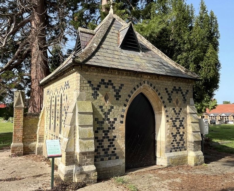
2. The Dead House and Marker
Credits. This page was last revised on September 28, 2026. It was originally submitted on September 26, 2026, by Ray Gurganus of Washington, District of Columbia. This page has been viewed 8 times since then. Photos: 1, 2. submitted on September 26, 2026, by Ray Gurganus of Washington, District of Columbia. • Andrew Ruppenstein was the editor who published this page.
