DeKalb Township in DeKalb County, Illinois — The American Midwest (Great Lakes)
Yield Monitor
Photographed by Matthew Stevens, September 26, 2026
1. Yield Monitor Marker
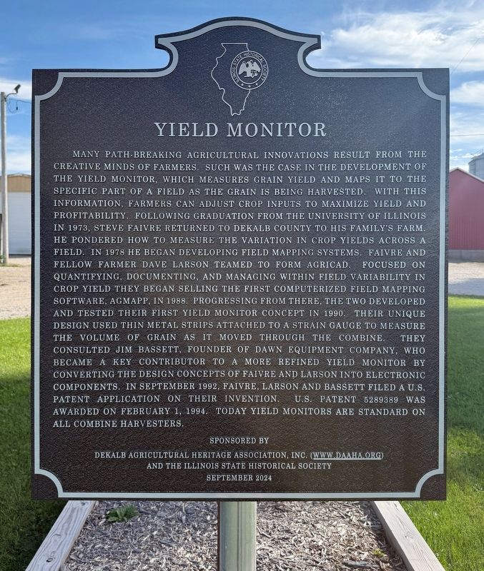
Many path-breaking agricultural innovations result from the creative minds of farmers. Such was the case in the development of the yield monitor, which measures grain yield and maps it to the specific part of a field as the grain is being harvested. With this information, farmers can adjust crop inputs to maximize yield and profitability. Following graduation from the University of Illinois in 1973, Steve Faivre returned to DeKalb County to his family's farm. He pondered how to measure the variation in crop yields across a field. In 1978 he began developing field mapping systems. Faivre and fellow farmer Dave Larson teamed to form AgriCAD. Focused on quantifying, documenting, and managing within field variability in crop yield they began selling the first computerized field mapping software, AgMapp, in 1988. Progressing from there, the two developed and tested their first yield monitor concept in 1990. Their unique design used thin metal strips attached to a strain gauge to measure the volume of grain as it moved through the combine. They consulted Jim Bassett, founder of Dawn Equipment Company, who became a key contributor
this page online
Erected 2024 by the DeKalb Agricultural Heritage Association, Inc., and the Illinois State Historical Society.
Topics and series. This historical marker is listed in these topic lists: Agriculture • Industry & Commerce. In addition, it is included in the Illinois State Historical Society series list. A significant historical date for this entry is February 1, 1994.
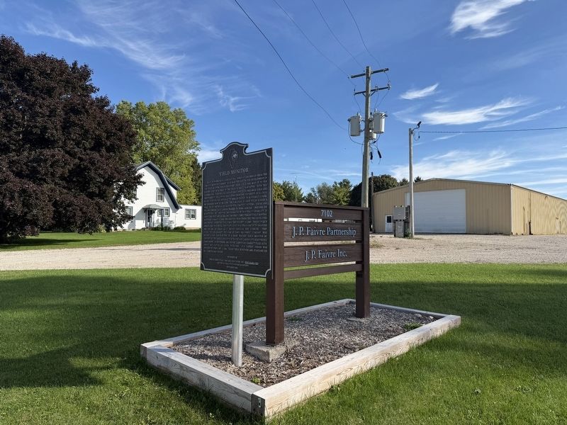
Location. 41° 54.417′ N, 88° 48.576′ W. Marker is near DeKalb, Illinois, in DeKalb County. It is in DeKalb Township. It is on Fairview Drive east of Nelson Road, on the right when traveling east. Touch for map. Marker is at or near this postal address: 7102 Fairview Dr, Dekalb IL 60115, United States of America. Touch for directions.

Regionally, this marker is in Northern Illinois. It is also in the American Midwest and in the Corn Belt. Globally,
Photographed by Matthew Stevens, September 26, 2026
2. Yield Monitor Marker
Other nearby markers. At least 8 other markers are within 3 miles of this marker, measured as the crow flies: First DeKalb® Brand Hybrid Corn Breeding Plot (approx. 2.2 miles away); Viet Nam Era Veterans Memorial (approx. 2.4 miles away); Honoring World War I DeKalb Area Veterans (approx. 2½ miles away); DeKalb Veterans Memorial (approx. 2½ miles away); Honoring American Women Veterans (approx. 2½ miles away); Barbed Wire Manufacturing (approx. 2.6 miles away); William George Eckhardt (approx. 2.9 miles away); Dr. Martin Luther King, Jr. (approx. 2.9 miles away). Touch for a list and map of all markers in DeKalb.
Photographed by Matthew Stevens, September 26, 2026
3. Yield Monitor Marker
Photographed by Matthew Stevens, September 26, 2026
4. Yield Monitor Marker
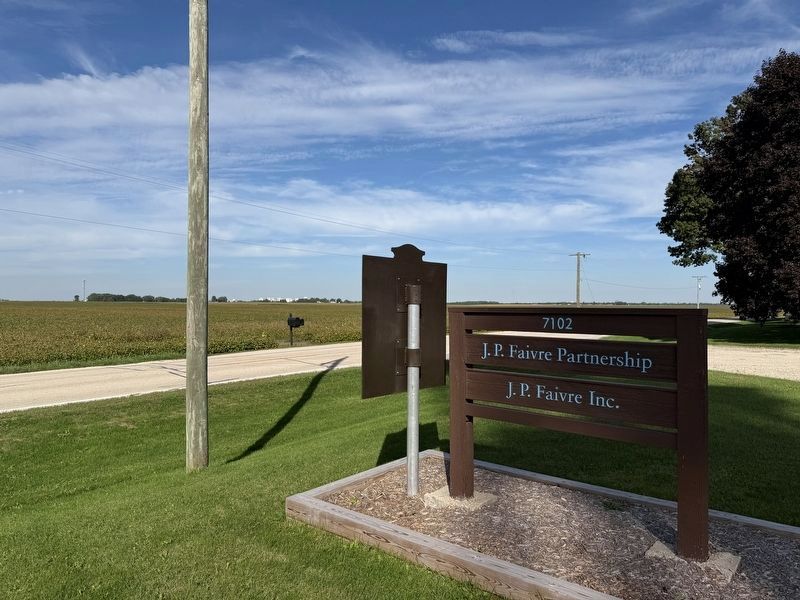
Photographed by Matthew Stevens, September 26, 2026
5. Yield Monitor Marker Backside
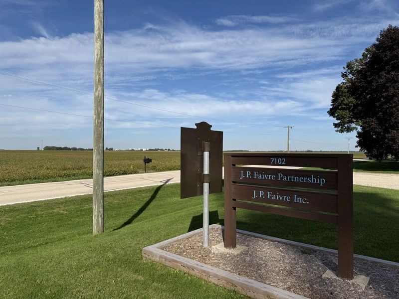
The City of DeKalb can be seen in the background of the photo
Credits. This page was last revised on September 28, 2026. It was originally submitted on September 26, 2026, by Matthew Stevens of Washington, Illinois. This page has been viewed 13 times since then. Photos: 1, 2, 3, 4, 5. submitted on September 26, 2026, by Matthew Stevens of Washington, Illinois. • Devry Becker Jones was the editor who published this page.
