Varna near Dayton in Columbia County, Washington — The American West (Northwest)
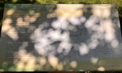
Cayuse, Umatilla, and Walla Walla Homeland
Photographed by Barry Swackhamer, June 14, 2026
1. Cayuse, Umatilla, and Walla Walla Homeland Marker
In 1805 and 1806, Lewis and Clark were the first non-Indians to travel through this area. Then, there were no state boundaries.
Our Heritage Corridor highlights cultural and recreational opportunities in northeastern Oregon and southeastern Washington.
Our people wintered as family groups in villages concentrated mainly along the Snake, Columbia, Unatilla, and Walla Walla rivers.
In the spring, dense salmon runs replenished our food supplies. When the snows receded we traveled to higher elevations to dig roots and to hunt. As summer wore on, we traveled further into the mountains to continue hunting and to pick berries.
We dried and stored the foods for future months, and as fall progressed, we made our way to our winter villages as the salmon runs returned.
The seasons determined our foods and the foods determined our movements and our lifeways.
this page online
"Our ancestors were not nomads. They had a purpose in why they moved and it was because they were gathering their foods, and because of the seasons. They moved up in the mountains when it was time for either digging or for hunting. Every summer we used to go huckleberrying up in the mountains.
CTUIR tribal member
Topics and series. This historical marker is listed in these topic lists: Food & Drink • Indigenous Peoples and Communities • Natural Resources • Settlements & Settlers. In addition, it is included in the Lewis & Clark Expedition series list.
Location. 46° 17.208′ N, 118° 4.401′ W. Marker is near Dayton, Washington, in Columbia County. It is in Varna. It can be reached from U.S. 12 near Timpey Road, on the right when traveling east. This marker is located in Lewis and Clark State Park. Touch for map. Marker is in this post office area: Dayton WA 99328, United States of America. Touch for directions.

Regionally, this marker is in the Palouse. It is also in the American Mountain West and in the Lewis & Clark Corridor. Globally,
Photographed by Barry Swackhamer, June 14, 2026
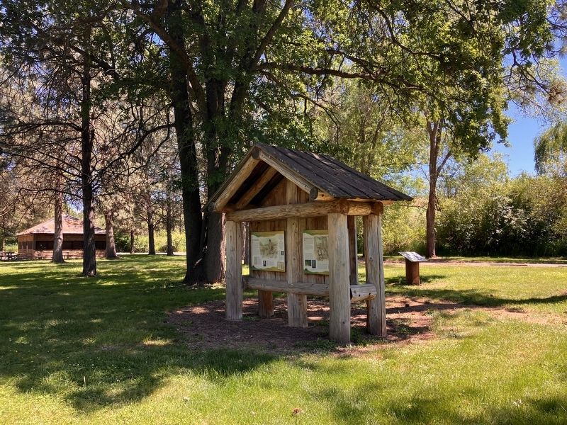
2. Cayuse, Umatilla, and Walla Walla Homeland Marker
The marker is to the right of the kiosk in the photo.
Other nearby markers. At least 8 other markers are within 5 miles of this marker, measured as the crow flies: Lewis and Clark National Historic Trail (here, next to this marker); Snake River Passage & Columbia Plains Crossing (here, next to this marker); "a pleasant looking Country" (a few steps from this marker); Meriwether Lewis, Field Botanist (a few steps from this marker); On The Lewis and Clark Trail (about 300 feet away, measured in a direct line); "Good things from the Garden, (approx. 3.8 miles away); The Giant on the Hill (approx. 3.8 miles away); Dodge Quarantine Cabin (approx. 4.9 miles away). Touch for a list and map of all markers in Dayton.
Credits. This page was last revised on September 26, 2026. It was originally submitted on September 26, 2026, by Barry Swackhamer of Brentwood, California. This page has been viewed 11 times since then. Photos: 1, 2. submitted on September 26, 2026, by Barry Swackhamer of Brentwood, California.
