Keilor in Brimbank, Victoria, Australia — Oceania
Old Iron Bridge
1868
| — | Keilor Heritage Walk | — |
Photographed by Dean Barton-Ancliffe, August 27, 2026
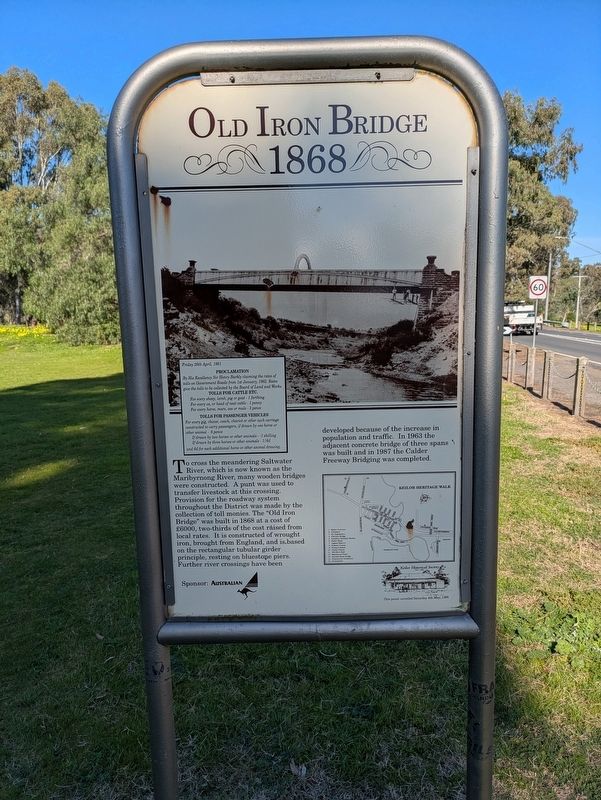
1. Old Iron Bridge Marker
Friday 26th April, 1861
By His Excellency Sir Henry Barkly claiming the rates of tolls on Government Roads from 1st January, 1862. Rates give the tolls to be collected by the Board of Land and Works.
Tolls for Cattle Etc.
For every sheep, lamb, pig or goat - 1 farthing
For every ox, or head of neat cattle - 1 penny
For every horse, mare, ass or mule - 3 pence
Tolls for Passenger Vehicles
For every gig, chaise, coach, chariot or other such carriage constructed to carry passengers, if drawn by one horse or other animal - 6 pence
If drawn by two horses or other animals - -1 shilling
If drawn by three horses or other animals - 1/6d
and 6d for each additional horse or other animal drawing.
Erected 1991
this page online
Topics. This historical marker is listed in these topic lists: Bridges & Viaducts • Colonial Era. A significant historical year for this entry is 1868.
Location. 37° 43.321′ S, 144° 50.339′ E. Marker is in Keilor, Victoria, in Brimbank. It is at the intersection of Old Calder Highway and Bonfield Street, on the left when traveling east on Old Calder Highway. The marker is roughly 100 meters north of the bridge itself. Touch for map. Marker is at or near this postal address: 749 Old Calder Highway, Keilor VIC 3036, Australia. Touch for directions.

Regionally, it is in Oceania, in Australasia, in the Pacific Ocean, in South Pacific, on the Pacific Rim, in the Western World, and in the Anglosphere. Historically, it finds itself in what was once a British colony.
Other nearby markers. At least 8 other markers are within 11 kilometers of this marker, measured as the crow flies: Keilor Hotel (approx. 0.3 kilometers away); St Augustine’s (approx. 0.7 kilometers away); Keilor Cemetery (approx. 1.3 kilometers away); Overnewton (approx. 2.4 kilometers away); Woodlands Historic Park
Photographed by Dean Barton-Ancliffe, August 27, 2026
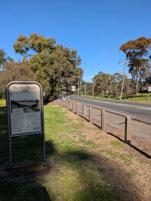
2. Old Iron Bridge Marker with the new Bridge in the background
Also see . . . Keilor Iron Bridge Old Calder Highway, Keilor. Sunshine Historical Society
This cast iron bridge built in 1868 replaced an older 1853 timber bridge that had been washed away. Prior to this punts and poor quality wooden bridges had been used to cross the Saltwater River.(Submitted on September 27, 2026, by Dean Barton-Ancliffe of Rowville, Victoria.)
The bridge provided an permanent structure for the traffic to and from Western Victoria.
Nearby Gumm's Corner (bottom) for a long time had provided a resting ground for the diggers on their way to the gold fields to the west.
Credits. This page was last revised on September 28, 2026. It was originally submitted on September 27, 2026, by Dean Barton-Ancliffe of Rowville, Victoria. This page has been viewed 4 times since then. Photos: 1, 2. submitted on September 27, 2026, by Dean Barton-Ancliffe of Rowville, Victoria. • Andrew Ruppenstein was the editor who published this page.
