Pomeroy in Garfield County, Washington — The American West (Northwest)
Historic Ground
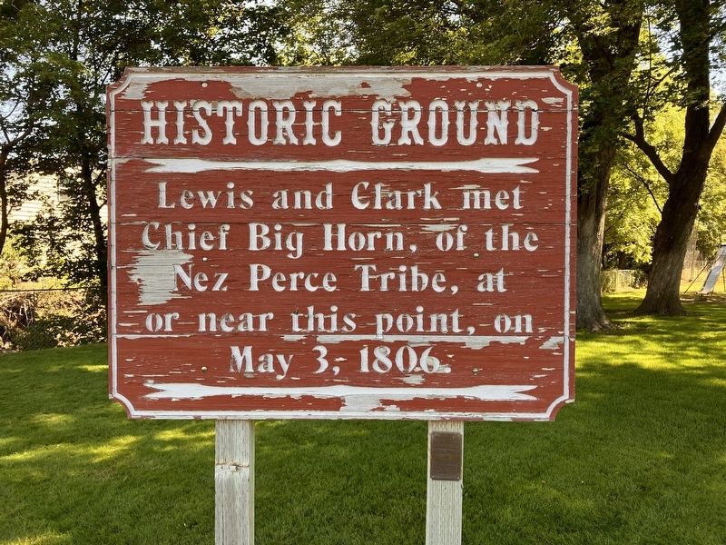
Photographed by Barry Swackhamer, June 15, 2026
1. Historic Ground Marker
Erected by Pomeroy Service Club.
Topics. This historical marker is listed in these topic lists: Exploration • Indigenous Peoples and Communities. A significant day of the year for for this entry is May 3.
Location. 46° 28.33′ N, 117° 35.403′ W. Marker is in Pomeroy, Washington, in Garfield County. It is at the intersection of South 15th Street and Pataha Street, on the left when traveling south on South 15th Street. The marker is in Pomeroy City Park. Touch for map. Marker is in this post office area: Pomeroy WA 99347, United States of America. Touch for directions.

Regionally, this marker is in the Palouse. It is also in the American Mountain West and in the Lewis & Clark Corridor. Globally, it is in North America, on the Pacific Rim, in the Western Hemisphere, in the Western World, and in the Anglosphere.
Other nearby markers. At least 6 other markers are within 9 miles of this marker, measured as the crow flies: Garfield County GAR Monument (approx. half a mile away); Three Forks Indian Trails. (approx. half
this page online
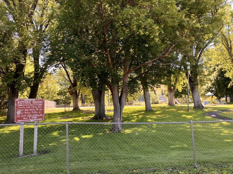
Photographed by Barry Swackhamer, June 15, 2026
2. Historic Ground Marker
Credits. This page was last revised on September 27, 2026. It was originally submitted on September 27, 2026, by Barry Swackhamer of Brentwood, California. This page has been viewed 4 times since then. Photos: 1, 2. submitted on September 27, 2026, by Barry Swackhamer of Brentwood, California.
