Chattahoochee in Gadsden County, Florida — The American South (South Atlantic)
The War of 1812 on the Gulf Coast
Photographed by James L.Whitman, September 26, 2026
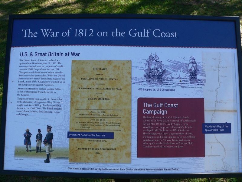
1. The War of 1812 on the Gulf Coast Marker
U.S. & Great Britain at War
The United States of America declared war against Great Britain on June 18, 1812. The two countries had been on the brink of conflict since the HMS Leopard attacked the USS Chesapeake and forced several sailors into the British navy four years earlier. While the United States could not match the military might of the British, much of the King's power was tied up in the European wars against Napoleon.
American attempts to capture Canada failed, as the conflict spread from the Arctic to the Equator.
Temporarily freed from conflict in Europe due to the abdication of Napoleon, King George III sought to deliver a killing blow by expanding the war to the Gulf Coast. The British targeted New Orleans, Mobile, the Mississippi River, and Georgia.
The Gulf Coast Campaign
The lead elements of Lt. Col. Edward Nicolls' command of Royal Marines arrived off Apalachicola Bay on May 10, 1814. Led by Capt. George Woodbine, the troops arrived aboard the British warships HMS Orpheus and HMS Shelburne. They brought with them large quantities of arms, ammunition and other supplies. After establishing
this page online
(captions)
President Madison's Declaration Image source: USS Constitution Museum
HMS Leopard vs. USS Chesapeake Image source: Fred Cozzens 1897 U.S. Navy
Woodbine's Map of the Apalachicola River Image source: National Archives of Great Britain
This project is sponsored in part by the Department of State, Division of Historical Resources and the State of Florida.
Erected 2026 by Department of State, Division of Historical Resources and the State of Florida.
Topics. This historical marker is listed in these topic lists: Patriots & Patriotism • War of 1812 • Waterways & Vessels. A significant historical date for this entry is June 18, 1812.
Location. 30° 42.034′ N, 84° 51.391′ W. Marker is in Chattahoochee, Florida, in Gadsden County. It is on South River Landing Road near North River Landing Road, on the left when traveling south. Touch for map. Marker is at or near this postal address: 500 N River Landing Rd, Chattahoochee FL 32324, United States of America. Touch for directions.

Regionally,
Photographed by James L.Whitman, September 26, 2026
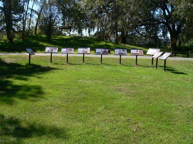
2. The War of 1812 on the Gulf Coast Marker
Other nearby markers. At least 8 other markers are within walking distance of this marker: What was the Creek War of 1813-1814? (here, next to this marker); Red Coat Arrival (here, next to this marker); Archaeology of Nicolls' Outpost (here, next to this marker); Seminole Appeal (here, next to this marker); Construction of Nicolls'Outpost (here, next to this marker); Confrontation with the United States (here, next to this marker); The British Evacuation (here, next to this marker); The Front Line of Freedom (here, next to this marker). Touch for a list and map of all markers in Chattahoochee.
Credits. This page was last revised on October 22, 2026. It was originally submitted on September 27, 2026, by James L.Whitman of Eufaula, Alabama. This page has been viewed 6 times since then. Photos: 1, 2. submitted on September 27, 2026, by James L.Whitman of Eufaula, Alabama. • Bernard Fisher was the editor who published this page.
