Carlsbad in San Diego County, California — The American West (Pacific Coastal)
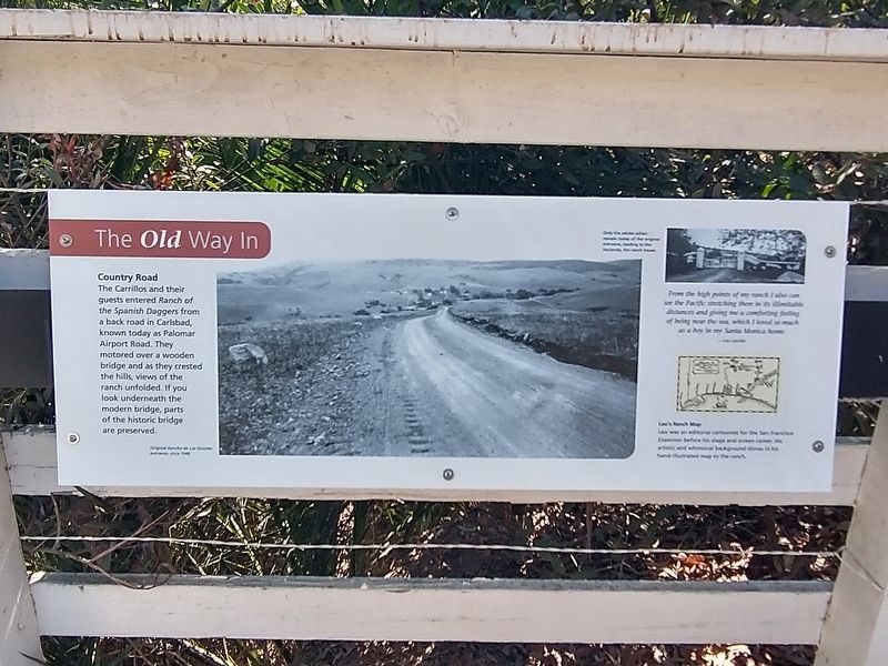
The Old Way In
Photographed by Tom Bosse, September 5, 2026
1. The Old Way In Marker
Country Road
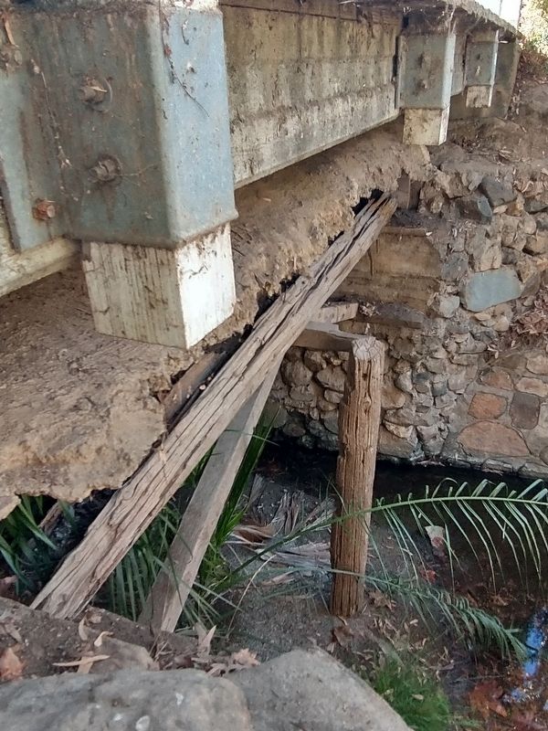
The Carrillos and their guest entered Ranch of the Spanish Daggers form a back road in Carlsbad, known today as Palomar Airport Road. They motored over a wooden bridge and as they crested the hills, views of the ranch unfolded. If you look underneath the modern bridge, parts of the historic bridge are preserved.
[Caption]: Rancho de Los Quiotes entrance, circa 1945
[Caption]: Only the adobe pillars remain today of the original entrance, leading to the hacienda, the ranch house.
[Insert]: From the high points of my ranch I also can see the Pacific stretching there in its illimitable distances and giving me a comforting feeling of being near the sea, which I loved so much as a boy in my Santa Monica home. – Leo Carrillo
[Caption]: Leo’s Ranch Map. Leo was an editorial cartoonist for the San Francisco Examiner before his stage and screen career. His artistic and whimsical background shines in his hand-illustrated map to the ranch.
Erected by Leo Carrillo Ranch Historic Park.
Topics and series. This historical marker is listed in this topic list: Roads & Vehicles. In addition, it is included
this page online
Location. 33° 7.243′ N, 117° 14.195′ W. Marker is in Carlsbad, California, in San Diego County. It can be reached from Flying Leo Carrillo Lane, on the left when traveling north. Marker is located within the Leo Carrillo Ranch Historic Park. Touch for map. Marker is in this post office area: Carlsbad CA 92009, United States of America. Touch for directions.

Regionally, this marker is in the Peninsular Ranges. It is also in the American Borderlands and on the Pacific Coast. Globally, it is in North America, on the Ring of Fire, on the Pacific Rim, in the Western Hemisphere, in the Western World, and in the Anglosphere. Historically, it finds itself in what was once New Spain and also Mexico’s Alta California.
Other nearby markers. At least 8 other markers are within walking distance of this marker: Water is Life (here, next to this marker); The First People (within shouting distance of this marker); Gateway to a Golden Era (within shouting distance of this marker); Leo Carrillo Ranch (within shouting distance of this marker);
Photographed by Tom Bosse, September 5, 2026
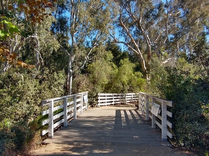
2. The Old Way In Marker
Marker is located on the right.
Also see . . .
1. Leo Carrillo Ranch Historic Park. (Submitted on September 27, 2026, by Tom Bosse of Jefferson City, Tennessee.)
2. Leo Carrillo. (Submitted on September 27, 2026, by Tom Bosse of Jefferson City, Tennessee.)
Photographed by Tom Bosse, September 5, 2026
3. Underneath the modern bridge, parts of the historic bridge are preserved.
Credits. This page was last revised on September 28, 2026. It was originally submitted on September 27, 2026, by Tom Bosse of Jefferson City, Tennessee. This page has been viewed 6 times since then. Photos: 1, 2, 3. submitted on September 27, 2026, by Tom Bosse of Jefferson City, Tennessee. • Andrew Ruppenstein was the editor who published this page.
