Newport in Newport County, Rhode Island — The American Northeast (New England)
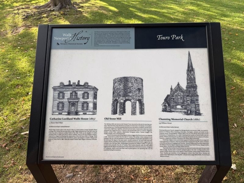
Touro Park
Walk Newport's History
| — | Newport Historical Society | — |
The Newport Historical Society invites you to Walk Newport's History and discover our city's rich past by exploring its historic buildings and landscape. This self-guided walking tour—with signs scattered throughout Newport's historic neighborhoods—celebrates the many voices and stories that make up our community's history. It is important to acknowledge that Newport is built on the ancestral lands of Native American nations who welcomed the first European settlers to Rhode Island. Furthermore, this State's wealth and development were historically dependent on the unwilling labor of people of African and Native descent, who played an integral role in building this state.
Made possible the Rhode Island Commerce & the Pomeroy Foundation
Catharine Lorillard Wolfe House (1863)
5 Touro Park West
Architectural Style: Colonial Revival
Daniel Edgar, former editor of the Newport Mercury, hire architect George Champlin Mason to design this Colonial Revival-style home in 1863. Edgar summered here until 1872 when the home was sold to Catharine Lorillard Wolfe of New York. Wolfe was the daughter of wealthy merchant John D.
this page online
Old Stone Mill
The Old Stone Mill, also known as the Newport Tower, has stood on this site for more than 300 years. There have been many theories as to its dates of construction, the identity of its builders, and its primary use. It has been proposed that the tower was used as a windmill, a power store, watch tower, lighthouse, baptistry, and astronomical tower. Construction dates have been presented that range from the 11th century to the second half of the 17th century. Suggested builders include Norse explorers, shipwrecked Portuguese sailors, Chinese voyagers, the Knights Templar, and a colonial governor.
Historic documents and archaeological evidence suggest that the structure was originally a mill, constructed no earlier than the mid-17th century. The earliest written reference
Channing Memorial Church (1880)
135 Pelham Street
Architectural Style: Gothic Revival
Channing Memorial Church, designed by Elbridge Boyden and erected in 1880, was named in memory of William Ellery Channing (1780-1842), theologian, minister and leader in the Unitarian church. His grandfather, William Ellery, was one of the Rhode Island signers of the Declaration of Independence. As a child, Channing lived nearby on School street with
Photographed by Devry Becker Jones (CC0), July 10, 2024
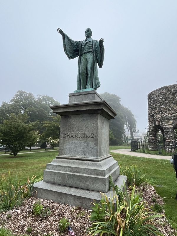
3. Channing Statue in Touro Park
This statue stands on the grounds of Touro Park, facing Channing Memorial Unitarian Universalist Church.
Channing's religious views and his later support of abolition are said to be an outgrowth of his experience in Newport, where he received early training from the 18th-century ministers of the First and Second Congregational Churches - Samuel Hopkins and Ezra Stiles respectively. His defense of human dignity inspired many, including Henry David Thoreau, Margaret Fuller, Horace Mann, Dorothea Dix and Ralph Waldo Emerson.
The Gothic Revival Style church features two memorial windows by noted Newport artist John La Farge, the first artist to include opalescent glass in his work. La Farge studied under painter William Morris Hunt at the urging of Hunt's brother, noted architect Richard Morris Hunt. Notable past members of the congregation include Julia Ward Howe, feminist and author of the "Battle Hymn of the Republic," and real estate mogul Alfred Smith, who developed Bellevue Avenue.
Erected by Newport Historical Society, made possible the Rhode Island Commerce & the William G. Pomeroy Foundation.
Topics and series. This historical marker is listed in these topic lists: Abolition & Underground RR • Architecture • Industry & Commerce • Religion & Religious Structures. In addition, it is included in the Unitarian Universalism (UUism), and the William G. Pomeroy Foundation series lists. A significant historical year for this entry is 1863.
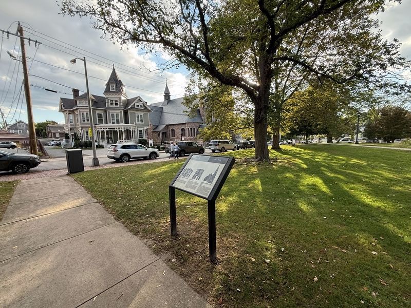
Location. 41° 29.133′ N, 71° 18.578′ W. Marker is in Newport, Rhode Island, in Newport County. It is on Pelham Street west of Bellevue Avenue, on the right when traveling west. Touch for map. Marker is in this post office area: Newport RI 02840, United States of America. Touch for directions.

Regionally, this marker is on Narragansett Bay and in Newport and Aquidneck Island. It is also in the American Northeast, in New England, and on the Eastern Seaboard. Globally, it is in the North Atlantic Region, North America, the Western Hemisphere, the Western World, and the Anglosphere. Historically, it finds itself in what was once one of the original Thirteen Colonies.
Other nearby markers. At least 8 other markers are within walking distance of this marker: Matthew Perry Monument (within shouting distance of this marker); The 2012 Shimoda Tomodachi Declaration (within shouting distance of this marker); a different marker also named Touro Park (within shouting distance of this marker); The League of American Wheelmen (within shouting distance of this marker); Redwood Library (about 400 feet away, measured in a direct line); Serenity Inn Newport (about 500 feet away); Pelham Street (about 500 feet away); Corné House (about 600 feet away). Touch for a list and map of all markers in Newport.
Other markers no longer nearby. Touro Park (has been replaced with this marker); a different marker also named Touro Park (was within shouting distance of this marker but has been replaced with another marker now near it).
Credits. This page was last revised on September 27, 2026. It was originally submitted on September 27, 2026, by Devry Becker Jones of Washington, District of Columbia. This page has been viewed 4 times since then. Photos: 1, 2. submitted on September 27, 2026, by Devry Becker Jones of Washington, District of Columbia. 3. submitted on July 14, 2024, by Devry Becker Jones of Washington, District of Columbia.
