Near Niobrara in Knox County, Nebraska — The American Midwest (Upper Plains)
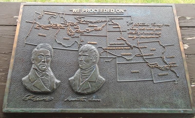
"We Proceeded On"
Photographed by William Fischer, Jr., September 17, 2026
1. "We Proceeded On" Marker
"4th of September Tuesday 1804 a verry cold wind from SouthE. by S. we set out early proceeded on"
[Map showing entire Corps of Discovery route and location of Niobrara State Park along that route]
[Bas reliefs of] William Clark [and] Meriwether Lewis
Erected by Nebraska State Parks.
Topics and series. This historical marker is listed in these topic lists: Exploration • Patriots & Patriotism • Waterways & Vessels. In addition, it is included in the Lewis & Clark Expedition series list. A significant historical year for this entry is 1804.
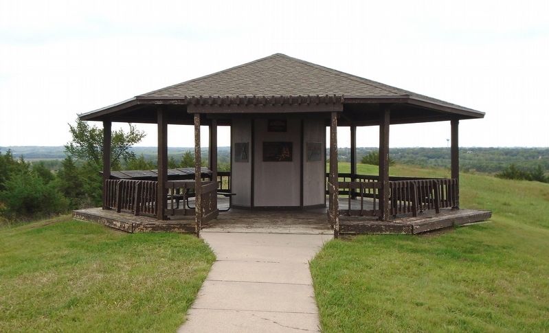
Location. 42° 45.953′ N, 98° 3.082′ W. Marker is near Niobrara, Nebraska, in Knox County. Marker is under the J. Alan Cramer Interpretive Shelter in Niobrara State Park. Touch for map. Marker is at or near this postal address: 89261 522 Avenue, Niobrara NE 68760, United States of America. Touch for directions.

Regionally, this marker is in Eastern Nebraska. It is also in the American Midwest, in the Corn Belt, and on the prairies. Globally, it is in North America, the Western Hemisphere, the Western World, and the Anglosphere. Historically, it finds itself in
this page online
Other nearby markers. At least 8 other markers are within walking distance of this marker: J. Alan Cramer Interpretive Shelter (here, next to this marker); Lewis and Clark Expedition (here, next to this marker); They Opened The West (here, next to this marker); 1846-47 Mormon Winter Camp (here, next to this marker); The Peaceful Ponca (here, next to this marker); The Forced Removal (here, next to this marker); Niobrara (here, next to this marker); Early Fur Trade and Fort Mitchell (here, next to this marker). Touch for a list and map of all markers in Niobrara.
Photographed by William Fischer, Jr., September 17, 2026
2. J. Alan Cramer Interpretive Shelter Markers
Credits. This page was last revised on September 27, 2026. It was originally submitted on September 27, 2026, by William Fischer, Jr. of Reynoldsburg, Ohio. This page has been viewed 4 times since then. Photos: 1, 2. submitted on September 27, 2026, by William Fischer, Jr. of Reynoldsburg, Ohio.
