Tiverton in Newport County, Rhode Island — The American Northeast (New England)
Fort Barton Redoubt
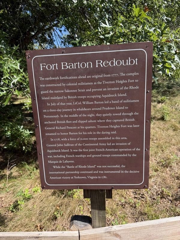
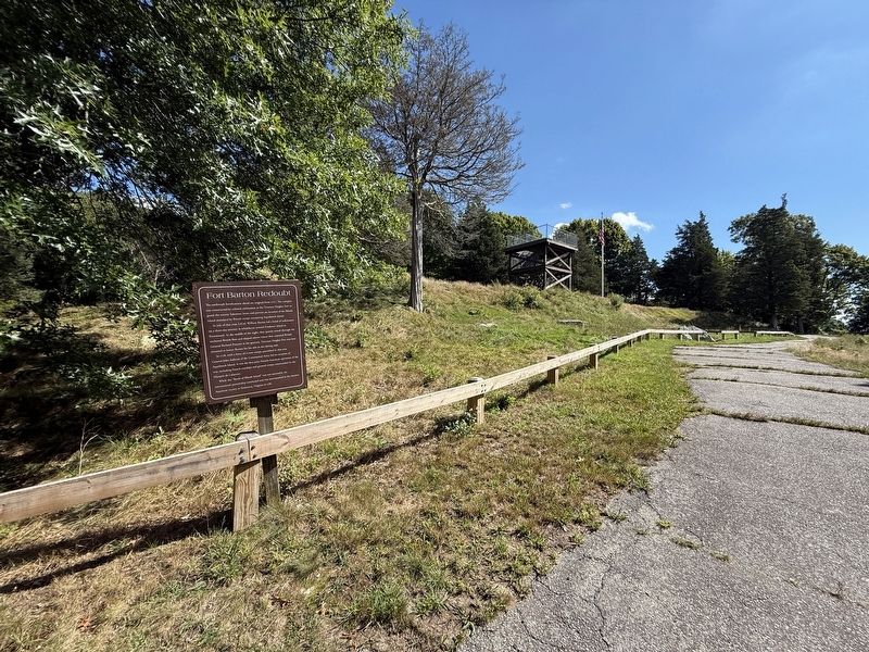
The earthwork fortifications ahead are original from 1777. The complex was constructed by colonial militiamen as the Tiverton Heights Fort to guard the narrow Sakonnet Strait and prevent and invasion of the Rhode Island mainland by British troops occupying Aquidneck Island.
In July of that year, LtCol. William Barton led a band of militiamen on a three-day journey in whaleboats around Prudence Island to Portsmouth. In the middle of the night, they quietly rowed through the anchored British fleet and slipped ashore where they captured British General Richard Prescott at his quarters. Tiverton Heights Fort was later renamed to honor Barton for his role in the daring raid.
In 1778, with a force of 11,000 troops assembled in this area, General John Sullivan of the Continental Army led an invasion of Aquidneck Island. It ws the first joint French-American operation of the war, including French warships and ground troops commanded by the Marquis de Lafayette.
While the "Battle of Rhode Island" was not successful, the international partnership continued and was instrumental in the American victory at Yorktown, Virginia
this page online
Topics. This historical marker is listed in these topic lists: Forts and Castles • War, US Revolutionary • Waterways & Vessels. A significant historical year for this entry is 1777.
Location. 41° 37.526′ N, 71° 12.439′ W. Marker is in Tiverton, Rhode Island, in Newport County. It can be reached from the intersection of Highland Road and Lawton Avenue, on the left when traveling south. Touch for map. Marker is at or near this postal address: 360 Highland Rd, Tiverton RI 02878, United States of America. Touch for directions.

Regionally, this marker is on Narragansett Bay. It is also in the American Northeast, in New England, and on the Eastern Seaboard. Globally, it is in the North Atlantic Region, North America, the Western Hemisphere, the Western World, and the Anglosphere. Historically, it finds itself in what was once one of the original Thirteen Colonies.
Other nearby markers. At least 8 other markers are within walking distance of this marker: Fort Barton (within shouting distance of this marker); a different marker also named Fort Barton (within shouting distance of this marker); Holt’s Trail (within
Credits. This page was last revised on September 27, 2026. It was originally submitted on September 27, 2026, by Devry Becker Jones of Washington, District of Columbia. This page has been viewed 3 times since then. Photos: 1, 2. submitted on September 27, 2026, by Devry Becker Jones of Washington, District of Columbia.
