Near Custer in Custer County, South Dakota — The American Midwest (Upper Plains)
Mount Rushmore Inspiration
Photographed by David Rozzelle, September 16, 2026
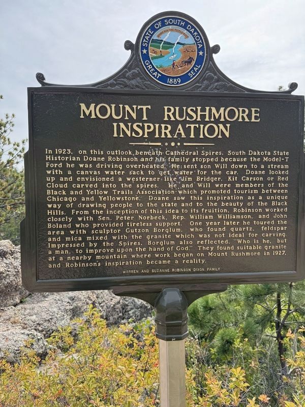
1. Mount Rushmore Inspiration Marker
In 1923, on this outlook, beneath Cathedral Spires, South Dakota State Historian Doane Robinson and his family stopped because the Model-T Ford he was driving overheated. He sent son Will down to a stream with a canvas water sack to get water for the car. Doane looked up and envisioned a westerner like Jim Bridger, Kit Carson or Red Cloud carved into the spires. He and Will were members of the Black and Yellow Trails Association which promoted tourism between Chicago and Yellowstone. Doane saw this inspiration as a unique way of drawing people to the state and to the beauty of the Black Hills. From the inception of this idea to its fruition, Robinson worked closely with Sen. Peter Norbeck, Rep. William Williamson, and John Boland who provided tireless support. One year later he toured the area with sculptor Gutzon Borglum, who found quartz, feldspar and mica mixed with the granite which was not ideal for carving. Impressed by the Spires, Borglum also reflected, "Who is he, but a man, to improve upon the hand of God." They found suitable granite at a nearby mountain where work began on Mount Rushmore in 1927, and Robinson's
this page online
Erected by Warren and Suzanne Robinson Dixon Family.
Topics. This historical marker is listed in this topic list: Parks & Recreational Areas. A significant historical year for this entry is 1923.
Location. 43° 50.494′ N, 103° 32.097′ W. Marker is near Custer, South Dakota, in Custer County. It is on Needles Highway, on the right when traveling north. Touch for map. Marker is at or near this postal address: SD-87, Custer SD 57730, United States of America. Touch for directions.

Regionally, this marker is in West River and in Greater Rapid City. It is also in the American Black Hills, in the Lewis & Clark Corridor, on the prairies, and on the Northern Plains. Globally, it is in North America, the Western Hemisphere, the Western World, and the Anglosphere. Historically, it finds itself in what was once Rupert’s Land and also the Louisiana Purchase.
Other nearby markers. At least 8 other markers are within 5 miles of this marker, measured as the crow flies: The Needles Eye (approx. half a mile away); A Changing Landscape (approx. 1.3 miles away); Harney Peak Lookout (approx. 1.7 miles away);
Photographed by David Rozzelle, September 16, 2026
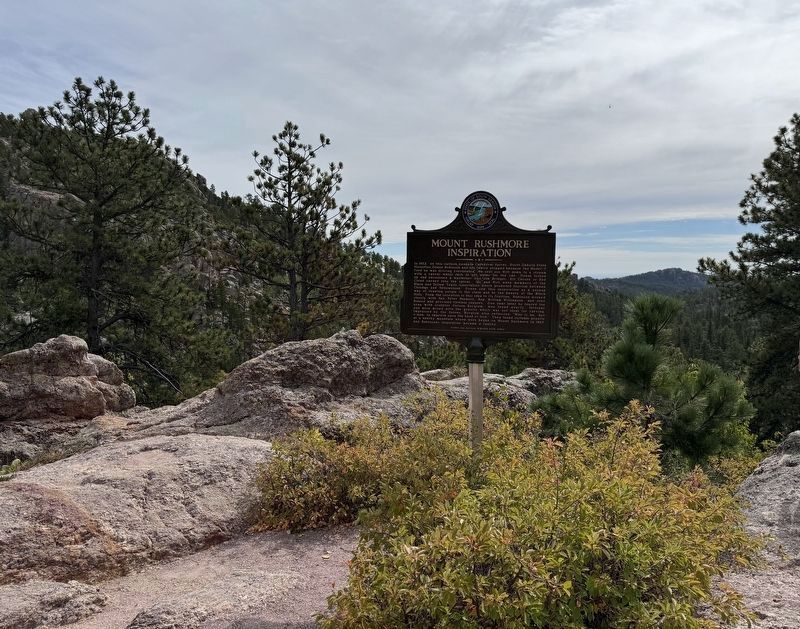
2. Mount Rushmore Inspiration Marker
Credits. This page was last revised on September 30, 2026. It was originally submitted on September 28, 2026, by David Rozzelle of Knoxville, Tennessee. This page has been viewed 12 times since then. Photos: 1, 2. submitted on September 28, 2026, by David Rozzelle of Knoxville, Tennessee. • J. Makali Bruton was the editor who published this page.
