The Cedars in Lenexa in Johnson County, Kansas — The American Midwest (Upper Plains)
Bandstands: Bringing the Community Together
Photographed by Jason Voigt, September 21, 2026
1. Bandstands: Bringing the Community Together Marker
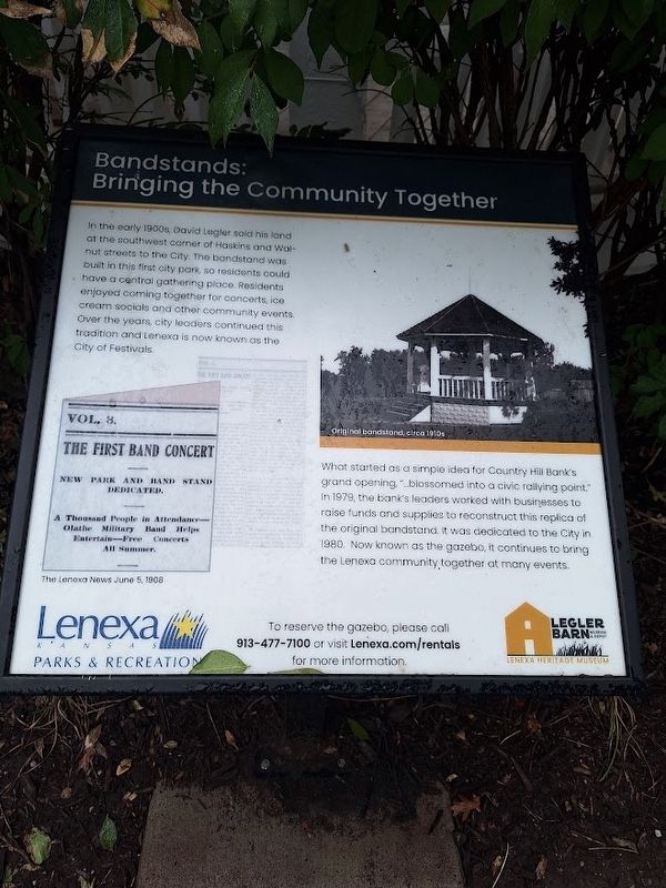
In the early 1900s, David Legler sold his land at the southwest corner of Haskins and Walnut streets to the City. The bandstand was built in this first city park, so residents could have a central gathering place. Residents enjoyed coming together for concerts, ice cream socials and other community events. Over the years, city leaders continued this tradition and Lenexa is now known as the City of Festivals.
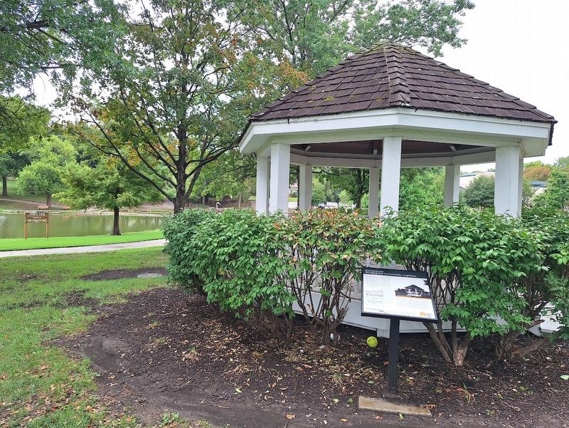
What started as a simple idea for Country Hill Bank's grand opening, "…blossomed into a civic rallying point." In 1979, the bank's leaders worked with businesses to raise funds and supplies to reconstruct this replica of the original bandstand. It was dedicated to the City in 1980. Now known as the gazebo, it continues to bring the Lenexa community, together at many events.
Erected by Legler Heritage Museum and Lenexa Parks & Recreation.
Topics. This historical marker is listed in this topic list: Parks & Recreational Areas. A significant historical year for this entry is 1979.
Location. 38° 58.187′ N, 94° 45.536′ W. Marker is in Lenexa, Kansas, in Johnson County. It is in The Cedars. It can be reached from
this page online

Regionally, this marker is in Eastern Kansas and specifically in Greater Kansas City. It is also in the American Midwest, in the Corn Belt, on the prairies, on the Southern Plains, and on the Santa Fe Trail Corridor. Globally, it is in North America, the Western Hemisphere, the Western World, and the Anglosphere. Historically, it finds itself in what was once the Louisiana Purchase.
Other nearby markers. At least 8 other markers are within walking distance of this marker: Lenexa Railroad Depot: Spurs Growth (within shouting distance of this marker); Depot Operations & Layout (within shouting distance of this marker); The Burlington Northern Caboose: Control Center & Home (within shouting distance of this marker); Wait Station: Connecting Suburbs (within shouting distance of this marker); Gardens: A Way to Survive (about 300 feet away, measured in a direct line); Legler Barn: A Lasting Legacy
Photographed by Jason Voigt, September 21, 2026
2. Bandstands: Bringing the Community Together Marker
Also see . . . Lenexa Historical Society. (Submitted on September 28, 2026, by Jason Voigt of Glen Carbon, Illinois.)
Credits. This page was last revised on September 28, 2026. It was originally submitted on September 28, 2026, by Jason Voigt of Glen Carbon, Illinois. This page has been viewed 6 times since then. Photos: 1, 2. submitted on September 28, 2026, by Jason Voigt of Glen Carbon, Illinois.
