Four Corners in Tiverton in Newport County, Rhode Island — The American Northeast (New England)
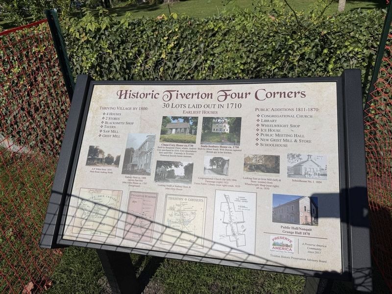
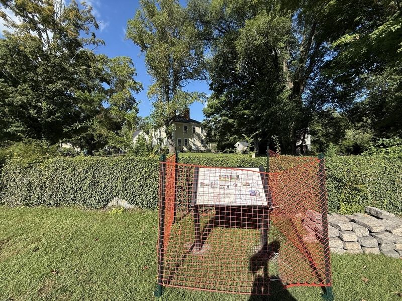
Historic Tiverton Four Corners
Photographed by Devry Becker Jones (CC0), September 18, 2026
1. Historic Tiverton Four Corners Marker
Earliest Houses
Built by Benjamin Chase, whaler. Andrew Cory purchased in 1816. Cory descendants here until 1962. Currently is Tiverton Historical Society house museum.
Soule-Seabury House ca. 1750
Built by Abner Soule. Wife Dorcas captured British spy in her kitchen.
Thriving village by 1800:
❖ 4 houses
❖ 2 stores
❖ Blacksmith shop
❖ Tavern
❖ Saw mill
❖ Grist mill
Public additions 1811-1870:
❖ Congregational church
❖ Library
❖ Wheelwright shop
❖ Ice house
❖ Public meeting hall
❖ New grist mill & store
❖ Schoolhouse
[Captions:]
A.P. White Store 1875
Main Road, looking North
Seabury Store ca. 1808 (across East Rd)
John Almy Hosue ca. 1797 (foreground)
Looking South at Seabury Store & John Almy House
Congregational Church (far left) 1846
Parsonage (right) 1832
Union Public Library (near right) estab. 1820
Looking East at Grist Mill (left) & Store (center) from Wheelwright Shop (near right) all ca. 1850
Schoolhouse No. 1 1854
Public Hall/Nonquit Grange Hall 1870
Erected by Tiverton
this page online
Topics. This historical marker is listed in these topic lists: Colonial Era • Settlements & Settlers. A significant historical year for this entry is 1710.
Location. 41° 34.277′ N, 71° 11.254′ W. Marker is in Tiverton, Rhode Island, in Newport County. It is in Four Corners. It is at the intersection of Main Road (Rhode Island Route 77) and East Road ( Route 179), on the right when traveling north on Main Road. Touch for map. Marker is at or near this postal address: 3883 Main Rd, Tiverton RI 02878, United States of America. Touch for directions.

Regionally, this marker is on Narragansett Bay. It is also in the American Northeast, in New England, and on the Eastern Seaboard. Globally, it is in the North Atlantic Region, North America, the Western Hemisphere, the Western World, and the Anglosphere. Historically, it finds itself in what was once one of the original Thirteen Colonies.
Other nearby markers. At least 8 other markers are within 4 miles of this marker, measured as the crow flies: Chace-Cory House (within shouting distance of this marker); Weetamoo (approx. half a mile away);
Photographed by Devry Becker Jones (CC0), September 18, 2026
2. Historic Tiverton Four Corners Marker
Credits. This page was last revised on September 28, 2026. It was originally submitted on September 28, 2026, by Devry Becker Jones of Washington, District of Columbia. This page has been viewed 6 times since then. Photos: 1, 2. submitted on September 28, 2026, by Devry Becker Jones of Washington, District of Columbia.
