Fergus in Centre Wellington in Wellington County, Ontario — Central Canada (North America)
Richard Pierpoint: Life and Legacy
Photographed by Tim Boyd, September 25, 2026
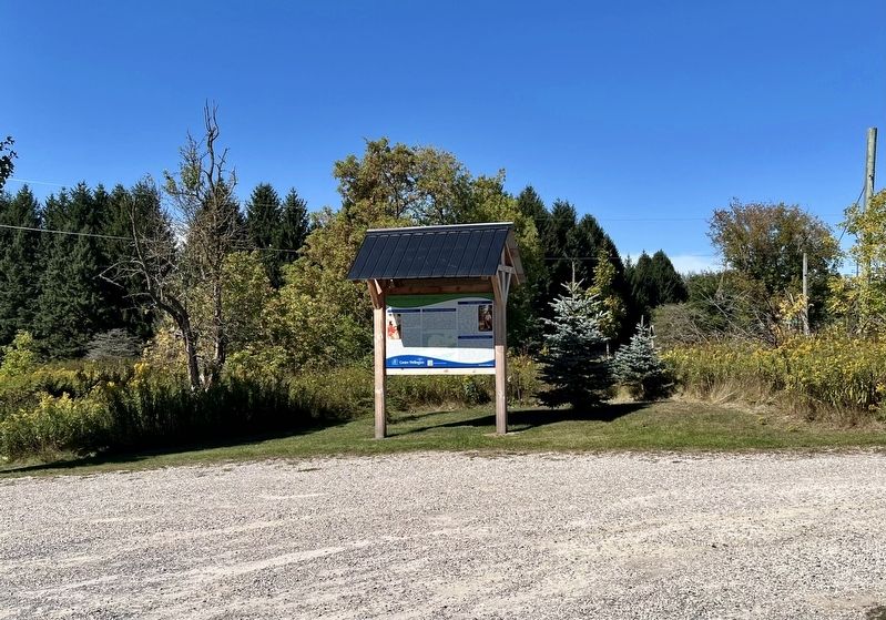
1. Richard Pierpoint: Life and Legacy Marker
Early Life and Military Service
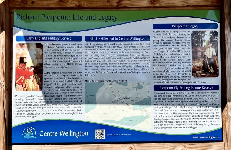
This land was once part of a parcel owned by Richard Pierpoint, a prominent Black Loyalist, soldier, griot, early settler, farmer and National Historic Person of Canada. Born in the Bundu region (present-day Senegal), Pierpoint was kidnapped and sold into slavery at the age of 16 to a British officer serving in the British Thirteen Colonies (present-day USA).
As the American Revolutionary War broke out in 1776, Pierpoint seized the opportunity to fight for his freedom, a major incentive to enlist with the "Butler's Rangers". This Loyalist military unit, alongside Indigenous allies, played a crucial role in Britain's retention of the Great Lakes region. When the war ended in 1784, he regained his freedom. Those who fought for the British Army, including emancipated individuals, were granted land after the war. However, racial prejudice and isolation made successful settlement for Black Loyalists in Upper Canada extremely difficult. He struggled to establish himself on his 200-acre land grant near St. Catharines and then sold it in 1806. During the War of 1812, at nearly 70 years of
this page online
Black Settlement in Centre Wellington
After being discharged, Richard Pierpoint requested passage back to his homeland in Africa. Instead, in July 1822, he was awarded a Militia Grant of 100 acres in recognition of his service. The grant covered the east half of Lot 6, Concession I (Garafraxa Township), situated along the Grand River, including this property. As a condition of the grant, Pierpoint cleared 5 acres of land, built a cabin, and established a road allowance with the help of friends and neighbours. By 1826, he was granted full ownership of the land which came to be known as the Pierpoint Settlement. His land became a refuge where free Black settlers and fugitives could stay, rest, and find community while traveling to and from other Black settlements throughout the Queen's Bush, which stretched from Wellington County to Lake Huron.
Pierpoint's Legacy
Richard Pierpoint's legacy is one of resilience, leadership, and advocacy for Black settlers in Upper Canada. After gaining his freedom through
Photographed by Tim Boyd, September 25, 2026
2. Richard Pierpoint: Life and Legacy Marker
Pierpoint Fly Fishing Nature Reserve
This property is now known as the Pierpoint Fly Fishing Nature Reserve. It was donated to the Township as a passive park encouraging the appreciation of a naturalized environment along the Grand River, a Canadian Heritage River. Within the Township of Centre Wellington, both the Grand River and the Nature Reserve have been identified as Significant Cultural Heritage Landscapes. Before the Township was settled and developed by Black and European settlers, it was part of
Photographed by Tim Boyd, September 25, 2026
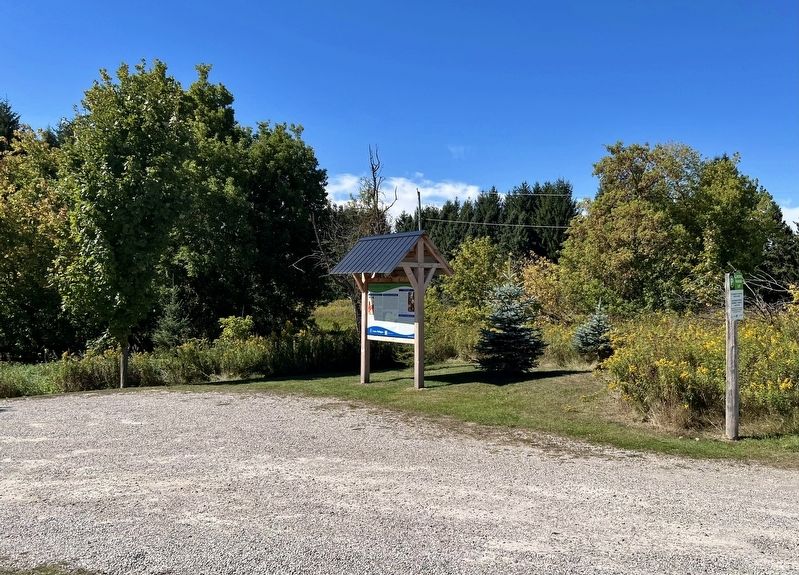
3. Richard Pierpoint: Life and Legacy Marker
Erected by Town of Centre Wellington.
Topics. This historical marker is listed in these topic lists: African Americans • Parks & Recreational Areas • Settlements & Settlers • War of 1812. A significant historical month for this entry is July 1822.
Location. 43° 42.957′ N, 80° 21.34′ W. Marker is in Centre Wellington, Ontario, in Wellington County. It is in Fergus. It is at the intersection of Anderson Street South and Lamond Street, on the right when traveling south on Anderson Street South. Touch for map. Marker is at or near this postal address: 449 Anderson Street S, Centre Wellington ON N1M 1Z8, Canada. Touch for directions.

Regionally, this marker is in the Huron-Perth-Waterloo-Wellington Area and in Southwestern Ontario. It is also in Central Canada. Globally, it is in North America, the Western Hemisphere, the Western World, and the Anglosphere. Historically, it finds itself in what was once a British colony, the Viceroyalty of New France, the Haudenosaunee (Iroquois) Confederacy, and Rupert’s Land.
Other nearby markers. At least 8 other markers are within 3 kilometers of this marker, measured as the crow flies: Richard Pierpoint (within shouting distance of this marker); Fergus Swimming Pool (approx. 2 kilometers away); St. David Street Bridge (approx. 2.1 kilometers away); The Founders of Fergus (approx. 2.2 kilometers away); Templin Gardens (approx. 2.2 kilometers away); 212 St. Andrew Street W (approx. 2.2 kilometers away); Weigh Scale Building (approx. 2.2 kilometers away); The Fergus Curling Club / Club de Curling de Fergus (approx. 2.3 kilometers away). Touch for a list and map of all markers in Centre Wellington.
Also see . . . Richard Pierpoint, an unsung leader.
Very little is known about Richard Pierpoint’s life before he arrived in North America. Possibly born in 1744 in the state of Bundu (now part of Senegal), Richard Pierpoint seems to have been captured and enslaved at the age of 16. Historians David and Peter Meyler speculate that Pierpoint may have been captured as a soldier during a local military conflicts. He may also have been kidnapped by slave traders while travelling outside of Bundu.(Submitted on September 28, 2026, by Tim Boyd of Hamilton, Ontario.)
Whichever the case, Pierpoint seems to have arrived in the United States as a slave in 1760, when he was sold to a British officer who gave him his family name, as was the custom of white slave owners. His life events are again hard to pin down after this time. Pierpoint may have been the personal assistant of this officer (or other slave owners) and may have travelled to a number of battlefields. After all, for many British officers, owning and taking a slave to the front lines was a sign of prestige and a testament to the owner’s wealth. However, Pierpoint probably found his freedom sometime during the American Revolution, although it is impossible to determine exactly how he did so.
Credits. This page was last revised on September 29, 2026. It was originally submitted on September 28, 2026, by Tim Boyd of Hamilton, Ontario. This page has been viewed 5 times since then. Photos: 1, 2, 3. submitted on September 28, 2026, by Tim Boyd of Hamilton, Ontario. • Andrew Ruppenstein was the editor who published this page.
