Near Fort Peck in McCone County, Montana — The American West (Mountains)
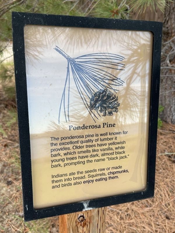
Ponderosa Pine
June 20, 2026
1. Ponderosa Pine Marker
Indians ate the seeds raw or made them into bread. Squirrels, chipmunks, and birds also enjoy eating them.
Topics. This historical marker is listed in these topic lists: Food & Drink • Horticulture & Forestry • Indigenous Peoples and Communities • Industry & Commerce.
Location. 48° 0.599′ N, 106° 25.303′ W. Marker is near Fort Peck, Montana, in McCone County. It can be reached from Yellowstone Road 1.2 miles west of Montana Route 24. Located just outside Fort Peck Interpretive Center, to the west. Touch for map. Marker is at or near this postal address: 157 Yellowstone Rd, Fort Peck MT 59223, United States of America. Touch for directions.

Regionally, this marker is in the American Mountain West, in the Lewis & Clark Corridor, on the prairies, on the Great Plains, and specifically on the Northern Plains. Globally, it is in North
this page online
Other nearby markers. At least 8 other markers are within walking distance of this marker: Boomtowns on the Outskirts (a few steps from this marker); Town Built for a Dam (a few steps from this marker); Diverting the Mighty Missouri (within shouting distance of this marker); Powerful Afterthoughts (within shouting distance of this marker); Dredging Up The Earth To Build A Dam (about 300 feet away, measured in a direct line); In Memory (approx. one mile away); Built with Muscle and Muck (approx. one mile away); Fort Peck Dam (approx. one mile away). Touch for a list and map of all markers in Fort Peck.
June 20, 2026
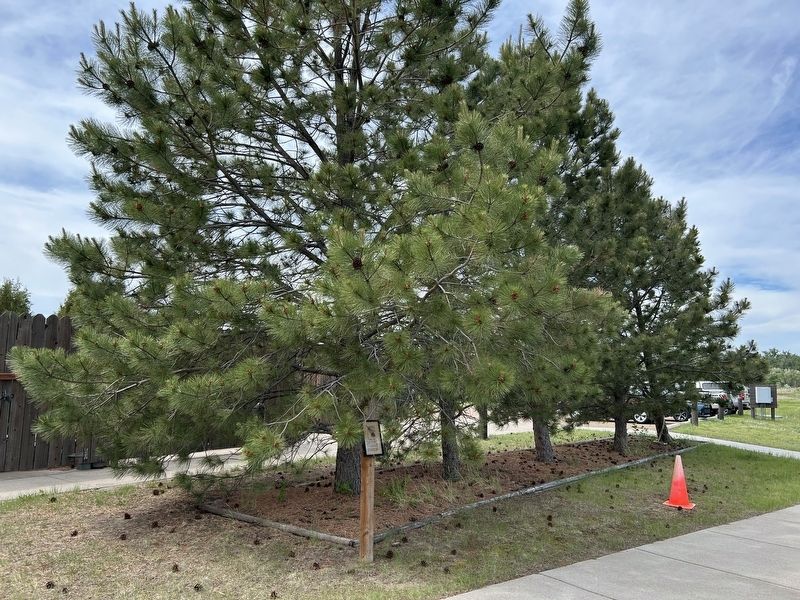
2. Ponderosa Pines & Marker
June 20, 2026
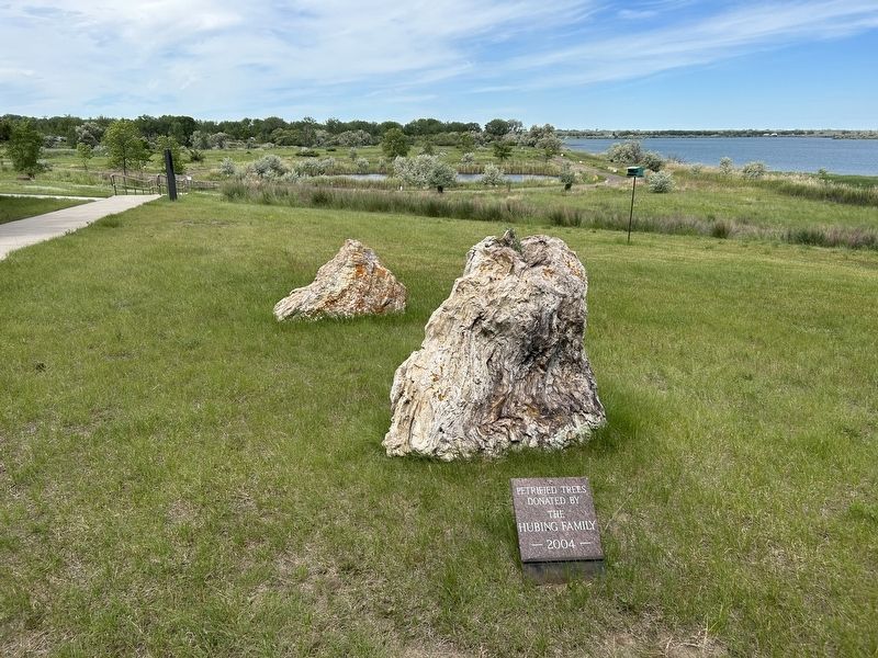
3. Petrified Trees, Nearby
"Petrified trees donated by the Hubing Family 2004"
Credits. This page was last revised on September 30, 2026. It was originally submitted on September 28, 2026. This page has been viewed 7 times since then. Photos: 1, 2, 3. submitted on September 28, 2026.
