Johnston in Providence County, Rhode Island — The American Northeast (New England)
Governor Samuel Ward King
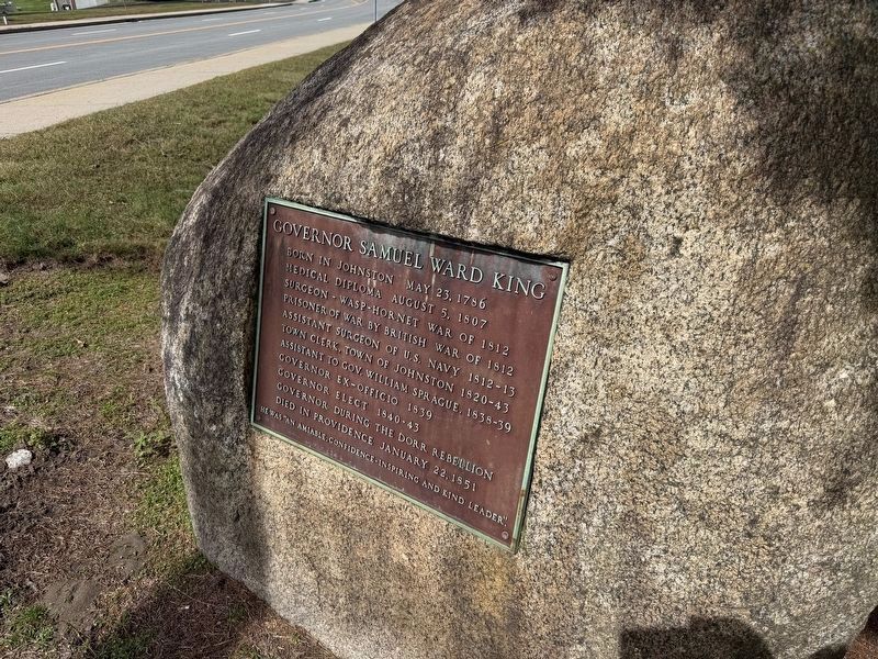
Born in Johnston May 23, 1786
Medical diploma August 5, 1807
Surgeon - Wasp-Hornet War of 1812
Prisoner of War by British War of 1812
Assistant Surgeon of U.S. Navy 1812-13
Town Clerk, Town of Johnston 1820-43
Assistant to Gov. William Sprague, 1838-39
Governor Ex-Officio 1839
Governor Elect 1840-43
Governor during the Dorr Rebellion
Died in Providence January 22, 1851
He was "an amiable, confidence-inspiring and kind leader."
Topics. This historical marker is listed in these topic lists: Government & Politics • Science & Medicine • War of 1812. A significant historical date for this entry is January 22, 1851.
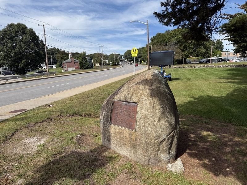
Location. 41° 49.802′ N, 71° 30.038′ W. Marker is in Johnston, Rhode Island, in Providence County. It is at the intersection of Atwood Avenue (Rhode Island Route 5) and Cherry Hill Road, on the right when traveling north on Atwood Avenue. Touch for map. Marker is at or near this postal address: 1583 Atwood Ave, Johnston RI 02919, United States of America. Touch for directions.

Regionally, this marker is in Greater Providence. It is also in the American Northeast, in New England, and on the Eastern
this page online
Other nearby markers. At least 8 other markers are within walking distance of this marker: Armed Forces Memorial (approx. 0.3 miles away); 9-11-01 Memorial (approx. 0.3 miles away); 105 mm Howitzer - Towed (approx. 0.3 miles away); Wars of the United States Memorial (approx. 0.3 miles away); World War II Memorial (approx. 0.3 miles away); Johnston War Memorial Park (approx. 0.3 miles away); Pezzullo Family World War II Memorial (approx. 0.3 miles away); a different marker also named World War II Memorial (approx. 0.3 miles away). Touch for a list and map of all markers in Johnston.
Credits. This page was last revised on September 30, 2026. It was originally submitted on September 30, 2026, by Devry Becker Jones of Washington, District of Columbia. This page has been viewed 4 times since then. Photos: 1, 2. submitted on September 30, 2026, by Devry Becker Jones of Washington, District of Columbia.
