Chattahoochee in Gadsden County, Florida — The American South (South Atlantic)
Construction of Nicolls'Outpost
Photographed by James L.Whitman, September 26, 2026
1. Construction of Nicolls'Outpost Marker
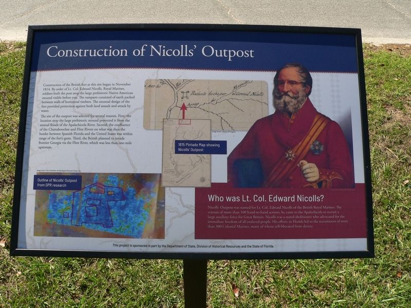
Construction of the British fort at this site began in November 1814. By order of Lt. Col. Edward Nicolls, Royal Marines, soldiers built the post atop the large prehistoric Native American mound visible before you. The ramparts consisted of earth packed between walls of horizontal timbers. The unusual design of the fort provided protection against both land assault and attack by water.
The site of the outpost was selected for several reasons. First, the location atop the large prehistoric mound protected it from the annual floods of the Apalachicola River. Second, confluence of the Chattahoochee and Flint Rivers on what was then the border between Spanish Florida and the United States was within range of the fort's guns. Third, the British planned to invade frontier Georgia via the Flint River, which was less than one-mile upstream.
Who was Lt. Col. Edward Nicolls?
Nicolls' Outpost wan named for Lt. Col. Edward Nicolls of the British Royal Marines. The veteran of more than 100 hand-to-hand actions, he came to the Apalachicola to recruit a large auxiliary force for Great Britain. Nicolls was a noted abolitionist
this page online
(captions)
Outline of Nicolls' Outpost from GPR research Image source: Pre-Columbian Archaeological Reseatrch Group, Inc.
1815 Pintado Map showing Nicolls'Outpost Image source: Library of Congress
This project is sponsored in part by the Department of State, Division of Historical Resources and the State of Florida
Erected 2026 by Department of State, Division of Historical Resources and the State of Florida.
Topics. This historical marker is listed in these topic lists: Anthropology & Archaeology • Forts and Castles • War of 1812. A significant historical month for this entry is November 1814.
Location. 30° 42.037′ N, 84° 51.391′ W. Marker is in Chattahoochee, Florida, in Gadsden County. It is at the intersection of South River Landing Road and North River Landing Road, on the left when traveling south on South River Landing Road. Touch for map. Marker is at or near this postal address: 500 S River Landing
Photographed by James L.Whitman, September 26, 2026
2. Construction of Nicolls'Outpost Marker

Regionally, this marker is in Greater Tallahassee and on the Florida Panhandle. It is also in the American South and specifically in the Deep South. Globally, it is in the North Atlantic Region, North America, a Gulf of Mexico state, the Western Hemisphere, the Western World, and the Anglosphere. Historically, it finds itself in what was once New Spain, the territory of the Mississippian Culture, one of the Confederate States of America, and the Antebellum South.
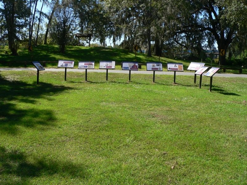
Other nearby markers. At least 8 other markers are within walking distance of this marker: Seminole Appeal (here, next to this marker); The Front Line of Freedom (here, next to this marker); The British Evacuation (here, next to this marker); Red Coat Arrival (here, next to this marker); The Treaty of Nicolls' Outpost (here, next to this marker); What was the Creek War of 1813-1814? (here, next to this marker); Confrontation with the United States (here, next to this marker); Archaeology of Nicolls' Outpost (here, next to this marker). Touch for a list and map of all markers in Chattahoochee.
Credits. This page was last revised on October 19, 2026. It was originally submitted on September 30, 2026, by James L.Whitman of Eufaula, Alabama. This page has been viewed 7 times since then. Photos: 1, 2. submitted on September 30, 2026, by James L.Whitman of Eufaula, Alabama. • Bernard Fisher was the editor who published this page.
