Colton in Whitman County, Washington — The American West (Northwest)
Wild Snake River
Photographed by Barry Swackhamer, June 15, 2026
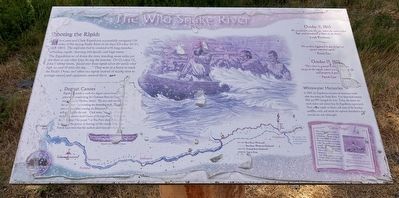
1. Wild Snake River Marker
The Lewis and Clark Expedition successfully navigated 139 miles of the raging Snake River in six days (October 10-16). 1805). The explorers had to contend with long stretches of boiling-rapids, churning whirlpools and high waves.
The Expedition raced down the river, traveling more miles per day than at any other time during the journey. On October 11, John Ordway wrote, "passed over Some rapids where the waves rolled . we rode 30 miles this day...." They were in a hurry to reach the Pacific Ocean and often ran rapids instead of taking the time to portage canoes and equipment around them.
Dugout Canoes
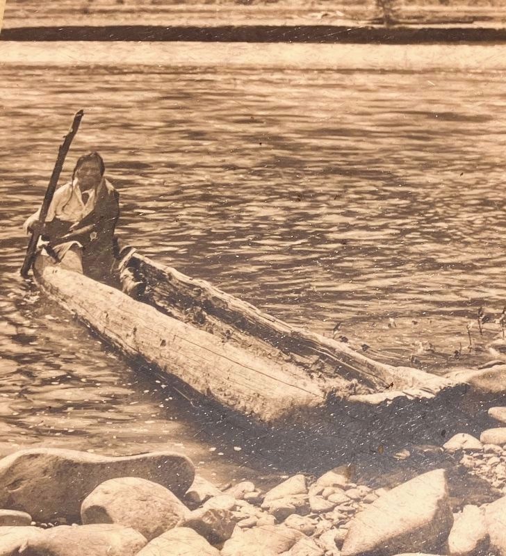
Expedition members made five dugout canoes from Ponderosa pines while camped along the Clearwater River (at Canoe Camp, near present-day Orofino, Idaho). The men use one entire tree for each Canoe. Canoemaking was demanding work. The explorers were still weak after crossing the Bitterroot Mountains and not well equipped for the task. Clark wrote, " our axes are Small and badly calculated to build Canoes of the large Pines." Fortunately the Nimiipuu, ('the people") or Nez Perce showed them to
this page online
"We crossed over some Rapids, the the waves rolled high, and abundance of Water in the River.
Joseph Whitehouse
"No accident happened today though we passed some bad rapids."
Patrick Gass
October 15, 1805
This river in general is very (?)ndsome except at the rapids, where it is risking both life and property to pass."
Patrick Gass
Whitewater Memories
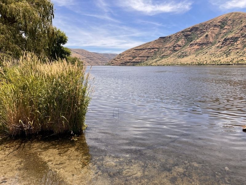
In 1805, the Expedition encountered numerous rapids while descending the Snake River. Four dams built between 1961 and 1971 changed the river. Today, the waters are much slower and calmer than the Expedition experienced. There are no rapids or holes, an many of the beaches, sandbars, rocks and islands the explorers described in their journals are now submerged.
Erected by Washington Lewis & Clark Expedition Bicentennial Commission Washington Lewis & Clark Expedition Bicentennial Commission Washington Lewis & Clark Expedition Bicentennial Commission.
Topics. This historical marker is
Photographed by Edward S. Curtis, circa 1910
2. Nimiipuu dugout circa 1910
Location. 46° 33.558′ N, 117° 16.264′ W. Marker is in Colton, Washington, in Whitman County. It is on Wawawai Road (at milepost 20), on the left when traveling north. The marker is located at Blyton Landing. There are no intersecting roads for 10 miles on either side of the marker. Touch for map. Marker is in this post office area: Colton WA 99113, United States of America. Touch for directions.

Regionally, this marker is in the Palouse and in Greater Spokane. It is also in the American Mountain West and in the Lewis & Clark Corridor. Globally, it is in North America, on the Pacific Rim, in the Western Hemisphere, in the Western World, and in the Anglosphere.
Other nearby markers. At least 8 other markers are within 13 miles of this marker, measured as the crow flies: Colton (approx. 6.8 miles away); A Constant Search for Food (approx. 7.3 miles away); Lewis & Clark Historic Trail (approx. 10.3 miles away); Álpáwayma Village (approx. 10.6 miles away); Snake River Passage & Columbia Plains Crossing (approx. 10.6 miles away); Lewis and Clark Expedition (approx. 11.2 miles away); "the Soil is extreamly fertile" (approx. 11.2 miles away); History of the Greystone Church (approx. 12.7 miles away). Touch for a list and map
Photographed by Barry Swackhamer, June 15, 2026
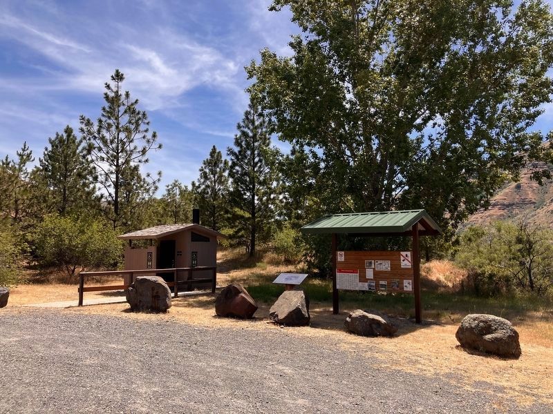
3. Wild Snake River Marker
Left of the kiosk
Another marker is no longer nearby. Temuut'su (was approx. 10.6 miles away but has been confirmed missing).
Photographed by Barry Swackhamer, June 15, 2026
4. 'The "Snake River' today
Credits. This page was last revised on September 30, 2026. It was originally submitted on September 30, 2026, by Barry Swackhamer of Brentwood, California. This page has been viewed 4 times since then. Photos: 1, 2, 3, 4. submitted on September 30, 2026, by Barry Swackhamer of Brentwood, California.
