Olathe in Johnson County, Kansas — The American Midwest (Upper Plains)
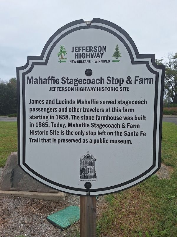
Mahaffie Stagecoach Stop & Farm
Jefferson Highway Historic Site
Photographed by Jason Voigt, September 21, 2026
1. Mahaffie Stagecoach Stop & Farm Marker
James and Lucinda Mahaffie served stagecoach passengers and other travelers at this farm starting in 1858. The stone farmhouse was built in 1865. Today, Mahaffie Stagecoach & Farm Historic Site is the only stop left on the Santa Fe Trail that is preserved as a public museum.
Erected by Jefferson Highway Association and Olathe Historical Society.
Topics and series. This historical marker is listed in these topic lists: Agriculture • Industry & Commerce. In addition, it is included in the Jefferson Highway, and the Santa Fe Trail series lists. A significant historical year for this entry is 1858.
Location. 38° 53.438′ N, 94° 48.086′ W. Marker is in Olathe, Kansas, in Johnson County. It is at the intersection of North Sunset Drive and East Kansas City Road, on the left when traveling north on North Sunset Drive. Touch for map. Marker is at or near this postal address: 612 N Sunset Dr, Olathe KS 66061, United States of America. Touch for directions.

Regionally, this marker is in Eastern Kansas and specifically in Greater Kansas City. It is also in the American Midwest, in the Corn Belt, on the prairies, on
this page online
Other nearby markers. At least 8 other markers are within walking distance of this marker: Rest for the Weary (about 400 feet away, measured in a direct line); Home Sweet Home (about 500 feet away); State Your Business... (about 500 feet away); Fast Food (about 500 feet away); Stagecoach Drivers (about 500 feet away); Workin' For a Living (about 500 feet away); Not So Little A Farm On the Prairie... (about 500 feet away); A Survivor (about 600 feet away). Touch for a list and map of all markers in Olathe.
Also see . . .
1. Mahaffie Stagecoach Stop & Farm Site (official website). (Submitted on September 30, 2026, by Jason Voigt of Glen Carbon, Illinois.)
2. Santa Fe National Historic Trail (National Park Service). (Submitted on September 30, 2026, by Jason Voigt of Glen Carbon, Illinois.)
Photographed by Jason Voigt, September 21, 2026
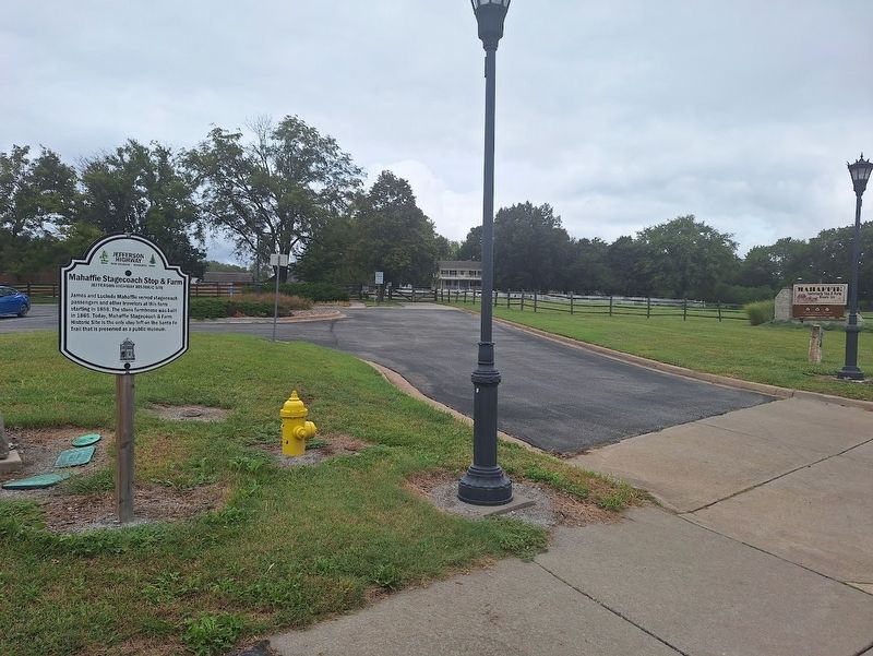
2. Mahaffie Stagecoach Stop & Farm Marker
Marker is outside the west parking lot of Mahaffie Stagecoach Stop & Farm.
Credits. This page was last revised on September 30, 2026. It was originally submitted on September 30, 2026, by Jason Voigt of Glen Carbon, Illinois. This page has been viewed 9 times since then. Photos: 1, 2. submitted on September 30, 2026, by Jason Voigt of Glen Carbon, Illinois.
