Kyneton in Macedon Ranges Shire, Victoria, Australia — Oceania
Willis Steam Mill
| — | Discover Historic Kyneton | — |
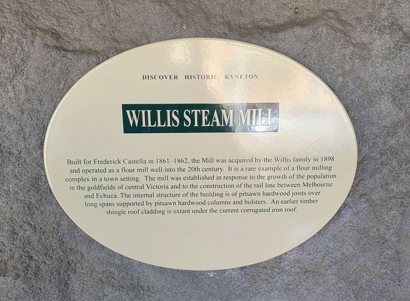
Photographed by Dean Barton-Ancliffe, August 31, 2026
1. Willis Steam Mill Marker
Topics. This historical marker is listed in these topic lists: Architecture • Colonial Era • Industry & Commerce. A significant historical year for this entry is 1861.
Location. 37° 14.665′ S, 144° 27.109′ E. Marker is in Kyneton, Victoria, in Macedon Ranges Shire. It is on Piper Street (Victoria Route C793) 0.1 kilometers east of Ebden Street, on the left when traveling east. Touch for map. Marker is at or near this postal address: 20 Piper Street, Kyneton VIC 3444, Australia. Touch for directions.

Regionally,
this page online
Other nearby markers. At least 8 other markers are within walking distance of this marker: G.W. Willis's Mill (here, next to this marker); Royal George Hotel (within shouting distance of this marker); WT Jones & Son Stonemason (within shouting distance of this marker); Kyneton Gasworks Community Park (about 150 meters away, measured in a direct line); Our Lady of the Rosary (about 240 meters away); Old Bank of New South Wales (approx. 0.3 kilometers away); Kyneton Museum - National Trust (approx. 0.3 kilometers away); Congregational or Independent Church (approx. 0.3 kilometers away). Touch for a list and map of all markers in Kyneton.
Also see . . . Victorian Heritage Database. Former Willis Flour Mill
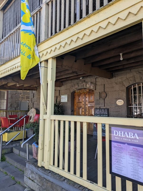
The mill building is constructed of coursed bluestone with quoined corners and openings. The mill originally had a castellated parapet to the front facade but this was altered to a triangular gable end when the(Submitted on October 2, 2026, by Dean Barton-Ancliffe of Rowville, Victoria.)roof was raised during the early part of the twentieth century. Traces of the castellated parapet are still evident in the wall of the building particularly in the projecting bluestone cornices that sat below the castellations. The current verandah to the Piper Street facade of mill is a reconstruction of the original verandah which was removed during the twentieth century. A trapdoor is located in the floor of the verandah with access to the basement below to allow the bags of flour to be passed up to the verandah for loading. The height of the lower verandah floor was the same level as the tray of a dray which allowed ease of loading. The verandah also includes a set of scale associated with the early operation of the mill. The internal structure of the building is of pit sawn hardwood joists over long spans supported by pit sawn hard wood columns and bolsters. An earlier timber shingle roof cladding is extant under the current corrugated iron roof. The mill building differs in form and scale from other mills that have survived from this period which usually take the form of a large three to four level rectangular building with gable ends.Photographed by Dean Barton-Ancliffe, August 31, 20262. Willis Steam Mill Marker to the Left of the Window
The construction date of the timber extension is unknown. It is roughly constructed of machine sawn timbers and still retains its original shingle roof under its corrugated iron roof. It was reputedly used as an oat rolling mill operating in conjunction with the flour mill. The street level ground floor slopes into a central trapdoor to assist in the cleaning of the mill.
Credits. This page was last revised on October 2, 2026. It was originally submitted on October 2, 2026, by Dean Barton-Ancliffe of Rowville, Victoria. This page has been viewed 10 times since then. Photos: 1, 2. submitted on October 2, 2026, by Dean Barton-Ancliffe of Rowville, Victoria. • Andrew Ruppenstein was the editor who published this page.
