Hudson Yards in Manhattan in New York County, New York — The American Northeast (Mid-Atlantic)
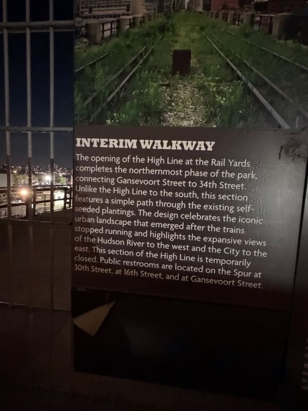
Interim Walkway
| — | High Line | — |
Photographed by Trudi Jacobson, September 30, 2026
1. Interim Walkway Marker
The opening of the High Line at the Rail Yards completes the northernmost phase of the park, connecting Gansevoort Street to 34th Street. Unlike the High Line to the south, this section features a simple path through the existing self-seeded plantings. The design celebrates the iconic urban landscape that emerged after the trains stopped running and highlights the expansive views of the Hudson River to the west and the City to the east. This section of the High Line is temporarily closed. Public restrooms are located on the Spur at 30th Street, at 16th Street, and at Gansevoort Street.
Topics. This historical marker is listed in these topic lists: Parks & Recreational Areas • Railroads & Streetcars.
Location. 40° 45.225′ N, 74° 0.265′ W. Marker is in Manhattan, New York, in New York County. It is in Hudson Yards. It can be reached from West 30th Street just west of 11th Avenue, on the left when traveling east. Touch for map. Marker is at or near this postal address: 605 W 30th St, New York NY 10001, United States of America. Touch for directions.

Regionally, this
this page online
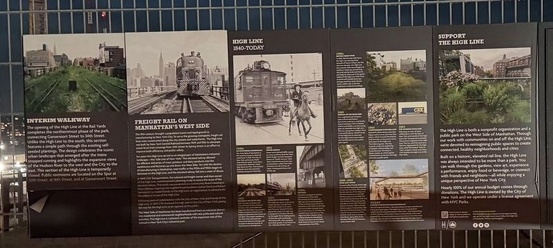
Other nearby markers. At least 8 other markers are within walking distance of this marker: High Line 1840 - Today (here, next to this marker); Self-seeded & unfinished (here, next to this marker); Freight Rail on Manhattan’s West Side (within shouting distance of this marker); Charles Mary Kubricht (b. 1946) (approx. 0.2 miles away); Freight Rail on Manhattan's West Side / High Line (approx. 0.2 miles away); High Line (approx. 0.2 miles away); Neighborhood Seniors (approx. 0.2 miles away); Death Avenue (approx. ¼ mile away). Touch for a list and map of all markers in Manhattan.
More about this marker. Located on the elevated High Line above W 30th Street
Regarding Interim Walkway. The Rail Yards section of the High Line opened in 2014 as the park’s northernmost phase.
Photographed by Trudi Jacobson, September 30, 2026
2. Interim Walkway Marker
Related markers. Click here for a list of markers that are related to this marker.
Also see . . . High Line (Wikipedia).
The High Line is a 1.45-mile-long (2.33 km) elevated linear park, greenway, and rail trail created on a former New York Central Railroad spur on the West Side of Manhattan in New York City.(Submitted on October 15, 2026, by Michael Herrick of Southbury, Connecticut.)
Photographed by Trudi Jacobson, September 30, 2026
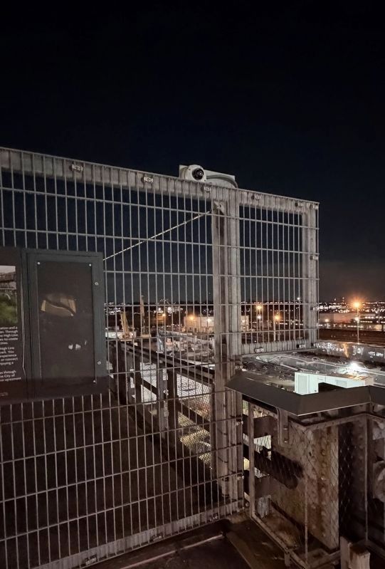
3. View over the water, the marker panel is to the left of this view
Credits. This page was last revised on October 15, 2026. It was originally submitted on October 2, 2026, by Trudi Jacobson of Slingerlands, New York. This page has been viewed 19 times since then. Photos: 1, 2, 3. submitted on October 2, 2026, by Trudi Jacobson of Slingerlands, New York. • Michael Herrick was the editor who published this page.
