Downtown Houston in Harris County, Texas — The American South (West South Central)
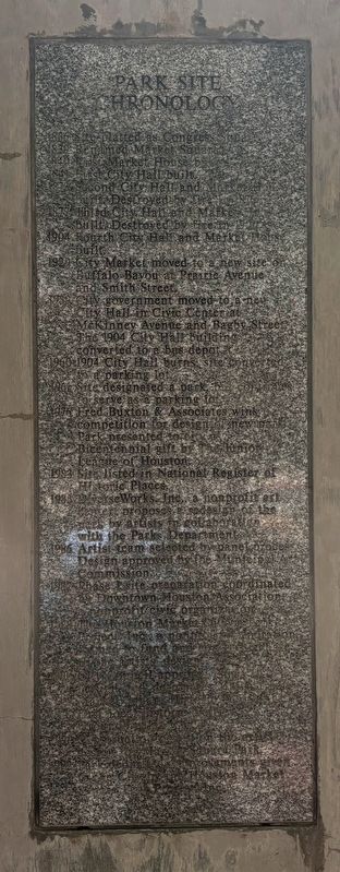
Park Site Chronology
Photographed by Sean P. Flynn, September 20, 2026
1. Park Site Chronology Marker
1839 Renamed Market Square.
1840 First Market House built.
1841 First City Hall built.
1873 Second City Hall and Market House built. Destroyed by fire in 1876.
1877 Third City Hall and Market House built. Destroyed by fire in 1901.
1904 Fourth City Hall and Market House built.
1929 City Market moved to a new site on Buffalo Bayou at Prairie Avenue and Smith Street.
1939 City government moved to a new City Hall in Civic Center at McKinney Avenue and Bagby Street. The 1904 City Hall building converted to a bus depot.
1960 1904 City Hall burns; site converted to a parking lot.
1961 Site designated a park, but continues to serve as a parking lot.
1976 Fred Buxton & Associates wins competition for design of new park. Park presented to city a Bicentennial gift by The Junior League of Houston.
1983 Site listed in National Register of Historic Places. 1985 DiverseWorks, Inc., a nonprofit art center, proposes a redesign of the park by artists in collaboration with the Parks Department.
1986 Artist team selected by panel process. Design approved by the Municipal Art Commission.
1987 Phase I site preparation coordinated by Downtown Houston Association, a nonprofit civic organization.
1988 The Houston Market Square Park Project, Inc., a nonprofit corporation formed to fund and construct Phase II, the artists' design.
1990 City Council approves Phase III Design and designates Main Street Market Square Historic District, first local historic district. Groundbreaking held.
1991 Construction begins on the artists' design for Market Square Park.
1992 Park dedicated improvements given to the City by the Houston Market Square Park Project Inc.
Topics and series. This historical marker is listed in these topic lists: Arts, Letters, Music • Parks & Recreational Areas.
this page online
Location. 29° 45.762′ N, 95° 21.718′ W. Marker is in Houston, Texas, in Harris County. It is in Downtown Houston. It is at the intersection of Congress Street and Travis Street, on the left when traveling west on Congress Street. The marker is on a post in the eastern corner of Market Square Park. Touch for map. Marker is at or near this postal address: 301 Milam Street, Houston TX 77002, United States of America. Touch for directions.

Regionally, this marker is in the American South and on the Gulf Coast. Globally, it is in North America, a Gulf of Mexico state, the Western Hemisphere, the Western World, and the Anglosphere. Historically, it finds itself in what was once New Spain, the Republic of Texas, one of the Confederate States of America, and the Antebellum South.
Other nearby markers. At least 8 other markers are within walking distance of this marker: The Houston Market Square Park Project (here, next to this marker);
Photographed by Sean P. Flynn, September 20, 2026
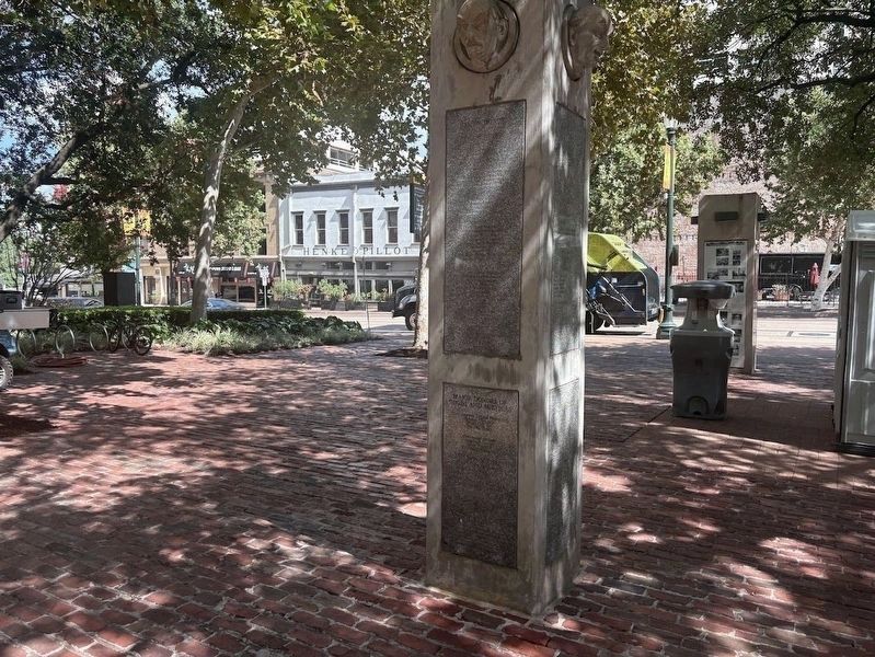
2. Post with the Park Site Chronology Marker
The text of this marker is on the left side of this post.
More about this marker. The marker is one of several on a post in the eastern corner of the park.
Also see . . . Market Square Park (Wikipedia). (Submitted on October 2, 2026, by Sean P. Flynn of Oak Park, Illinois.)
Photographed by Sean P. Flynn, September 20, 2026
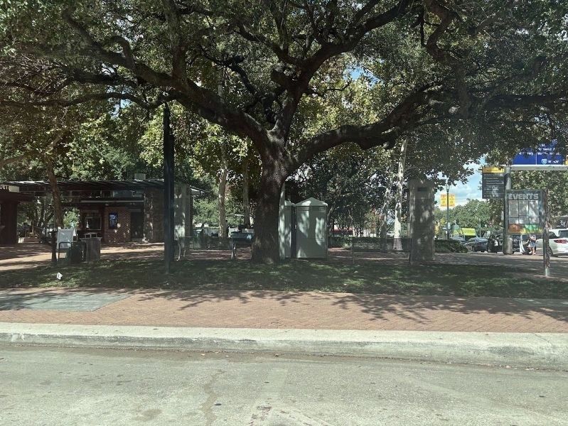
3. Market Square Park
The post with this marker can be seen on the left side of the photo.
Credits. This page was last revised on October 2, 2026. It was originally submitted on October 2, 2026, by Sean P. Flynn of Oak Park, Illinois. This page has been viewed 8 times since then. Photos: 1. submitted on October 2, 2026, by Sean P. Flynn of Oak Park, Illinois. 2, 3. submitted on September 23, 2026, by Sean P. Flynn of Oak Park, Illinois.
