Adams Township in Delphi in Carroll County, Indiana — The American Midwest (Great Lakes)
Lock No. 32 Mary K's Overlook
Wabash Driving Loop
| — | Wabash and Erie Canal | — |
Photographed by Craig Doda, September 13, 2026
1. Lock No. 32 Mary K's Overlook Marker
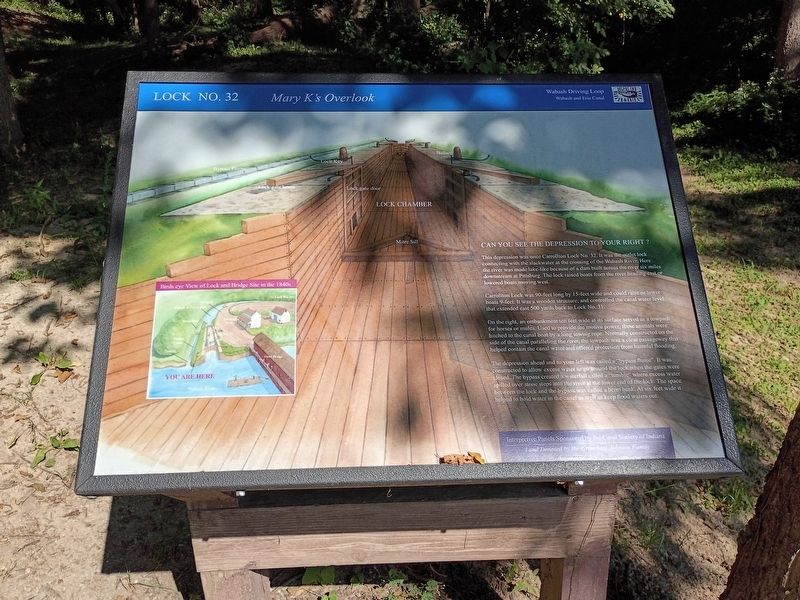
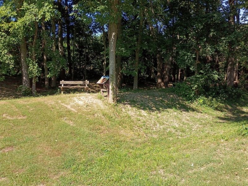
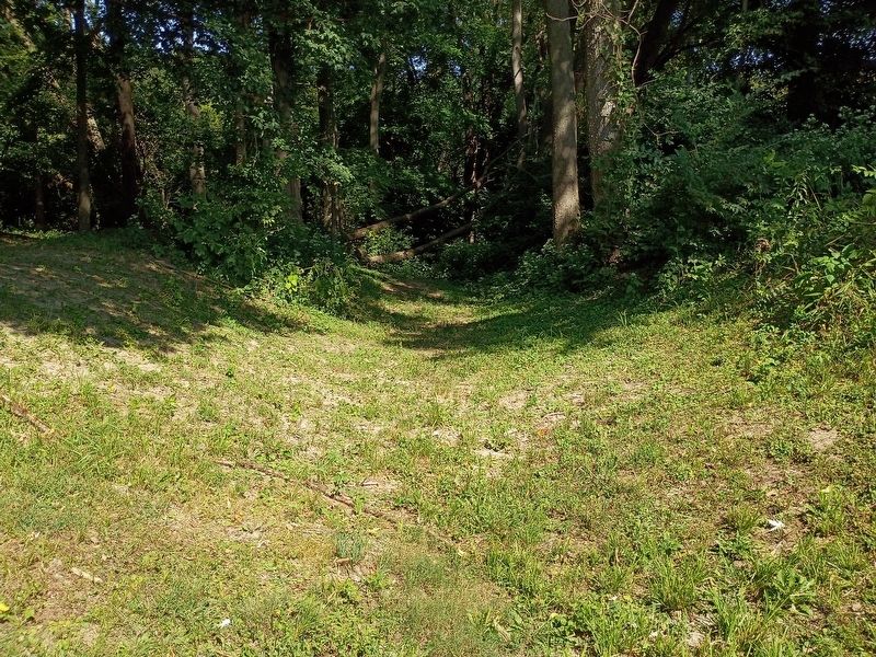
Can you see the depression to your right?
This depression was once Carrollton Lock No. 32. It was the outlet lock connecting with the slackwater at the crossing of the Wabash River. Here the river was made lake-like because of a dam built across the river six miles downstream at Pittsburg. The lock raised boats from the river heading east or lowered boats moving west.
Carrollton Lock was 90-feet long by 15-feet wide and could raise or lower boats 9-feet. It was a wooden structure, and controlled the canal water level that extended east 500 yards back to Lock No. 31.
On the right, an embankment ten feet wide at its surface served as a towpath for horses or mules. Used to provide the motive power, these animals were hitched to the canal boat by a long towing rope. Normally constructed on the side of the canal paralleling the river, the towpath was a clear passageway that helped contain the canal water and offered protection from harmful flooding.
The depression ahead and to your left was called a "bypass flume". It was constructed to allow excess water to go around the lock when the gates were closed. The bypass created
this page online
Erected by Canal Society of Indiana.
Topics and series. This historical marker is listed in these topic lists: Industry & Commerce • Waterways & Vessels. In addition, it is included in the Wabash & Erie Canal series list.
Location. 40° 38.954′ N, 86° 39.463′ W. Marker is in Delphi, Indiana, in Carroll County. It is in Adams Township. It is at the intersection of Local Road N700W and West Towpath Road, on the right when traveling south on Local Road N700W. Touch for map. Marker is at or near this postal address: 7199 N 700 W, Delphi IN 46923, United States of America. Touch for directions.

Regionally, this marker is in Northern Indiana. It is also in the American Midwest and in the Corn Belt. Globally, it is in North America, the Western Hemisphere, the Western World, and the Anglosphere. Historically,
Photographed by Craig Doda, September 13, 2026
2. Lock No. 32 Mary K's Overlook Marker
Other nearby markers. At least 8 other markers are within 4 miles of this marker, measured as the crow flies: The Wabash & Erie Canal (within shouting distance of this marker); The Carrollton Bridge (within shouting distance of this marker); Carrollton on the Wabash (within shouting distance of this marker); Mentzer Tavern (within shouting distance of this marker); Trail of Death (approx. 1.9 miles away); Whistler Cemetery (approx. 3.1 miles away); Retaining the Past & Forging the Future (approx. 3.8 miles away); Welcome to Delphi (approx. 3.8 miles away). Touch for a list and map of all markers in Delphi.
Photographed by Craig Doda, September 13, 2026
3. Lock No. 32 Mary K's
Credits. This page was last revised on October 9, 2026. It was originally submitted on October 2, 2026, by Craig Doda of Napoleon, Ohio. This page has been viewed 5 times since then. Photos: 1, 2, 3. submitted on October 2, 2026, by Craig Doda of Napoleon, Ohio. • Devry Becker Jones was the editor who published this page.
