Norwich in Norfolk, England, United Kingdom — Northwestern Europe (the British Isles)
Pull's Ferry
| — | City of Norwich Riverside Walk | — |
Photographed by Ray Gurganus, April 22, 2026
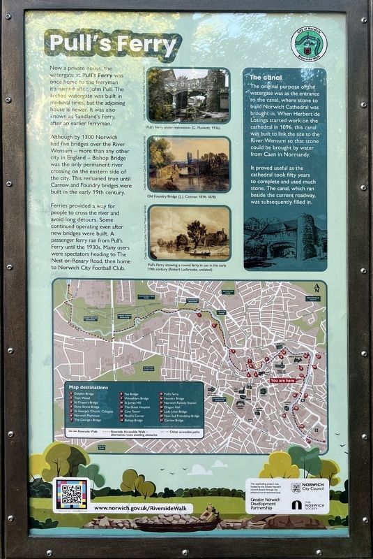
1. Pull's Ferry Marker
Although by 1300 Norwich had five bridges over the River Wensum more than any other city in England - Bishop Bridge was the only permanent river crossing on the eastern side of the city. This remained true until Carrow and Foundry bridges were built in the early 19th century.
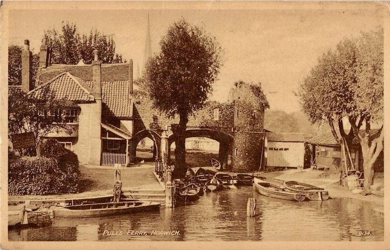
Ferries provided a way for people to cross the river and avoid long detours. Some continued operating even after new bridges were built. A passenger ferry ran from Pull's Ferry until the 1930s. Many users were spectators heading to The Nest on Rosary Road, then home to Norwich City Football Club.
The canal
The original purpose of the watergate was as the entrance to the canal, where stone to build Norwich Cathedral was brought in. When Herbert de Losinga started work on the cathedral in 1096, this canal was built to link the site to the River Wensum so that stone could be brought by water from Caen in Normandy.
It proved useful as the cathedral took fifty years to complete and used much stone. The canal, which ran beside the current roadway. was subsequently filled in.
Topics. This historical marker is listed in this topic list: Waterways & Vessels.
Location. 52° 37.827′ N, 1° 18.409′ E. Marker is in Norwich, England, in Norfolk. It is on Ferry Lane. Touch for map. Marker is at or near this postal address: 25 Ferry Lane, Norwich, England NR1 1SR, United Kingdom. Touch for directions.

Regionally, this marker is in East Anglia. Globally, it is on the Atlantic Ocean, in the North Atlantic Region, in Europe,
this page online
Other nearby markers. At least 8 other markers are within walking distance of this marker: Pull's Ferry House (a few steps from this marker); Edith Cavell (approx. half a kilometer away); Augustine Steward House (approx. 0.6 kilometers away); Elm Hill (approx. 0.6 kilometers away); Wrights Court (approx. 0.7 kilometers away); St Peter Hungate (approx. 0.7 kilometers away); United Reformed Church (approx. 0.7 kilometers away); Paston House (approx. 0.7 kilometers away). Touch for a list and map of all markers in Norwich.
Photographed by Ray Gurganus, April 22, 2026
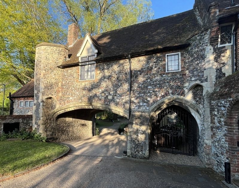
2. Pull's Ferry House
Photographed by J and S, circa 1930
3. Pull's Ferry, Norwich
Credits. This page was last revised on October 5, 2026. It was originally submitted on October 2, 2026, by Ray Gurganus of Washington, District of Columbia. This page has been viewed 4 times since then. Photos: 1, 2. submitted on October 2, 2026, by Ray Gurganus of Washington, District of Columbia. 3. submitted on October 5, 2026. • Andrew Ruppenstein was the editor who published this page.
