Paola in Miami County, Kansas — The American Midwest (Upper Plains)
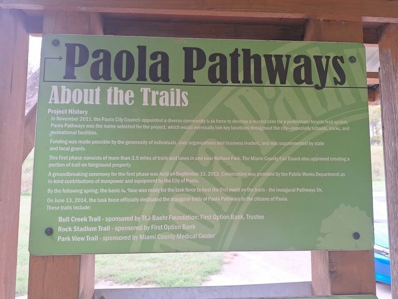
Paola Pathways
About the Trails
Photographed by Jason Voigt, September 21, 2026
1. Paola Pathways Marker
Project History
In November 2011, the Paola City Council appointed a diverse community task force to develop a master plan for a pedestrian/bicycle trail system. Paola Pathways was the name selected for the project, which would eventually link key locations throughout the city - especially schools, parks, and recreational facilities.
Funding was made possible by the generosity of individuals, civic organizations and business leaders, and was supplemented by state and local grants.
This first phase consists of more than 3.5 miles of trails and lanes in and near Wallace Park. The Miami County Fair Board also approved creating a portion of trail on fairground property.
A groundbreaking ceremony for the first phase was held on September 13, 2013. Construction was provided by the Public Works Department as in- kind contributions of manpower and equipment by the City of Paola.
By the following spring, the basic surface was ready for the task force to host the first event on the trails - the inaugural Pathways 5k.
On June 13, 2014, the task force officially dedicated the inaugural trails of Paola Pathways to
this page online
These trails include:
Bull Creek Trail - sponsored by The Baehr Foundation; First option Bank, Trustee
Rock Stadium Trail - sponsored by First Option Bank
Park View Trail - sponsored by Miami County Medical Center
Topics. This historical marker is listed in this topic list: Parks & Recreational Areas. A significant historical date for this entry is June 13, 2014.
Location. 38° 33.715′ N, 94° 52.98′ W. Marker is in Paola, Kansas, in Miami County. It can be reached from South Silver Street south of Wallace Street. Marker is located at Wallace Park. Touch for map. Marker is at or near this postal address: 900 S Silver St, Paola KS 66071, United States of America. Touch for directions.

Regionally, this marker is in Eastern Kansas, specifically in Bleeding Kansas Border War Country, and in Greater Kansas City. It is also in the American Midwest, in the Corn Belt, on the prairies, on the Southern Plains, and on the Santa Fe Trail Corridor. Globally, it is in North America, the Western Hemisphere, the Western World, and the Anglosphere. Historically, it finds itself in what was once the Louisiana Purchase.
Other nearby markers. At
Photographed by Jason Voigt, September 21, 2026
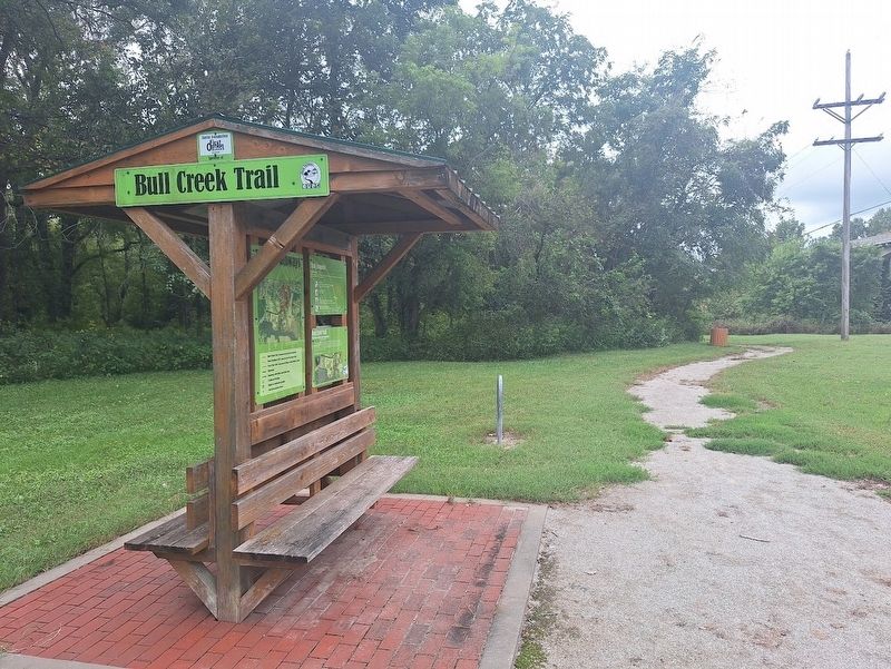
2. Paola Pathways Marker
located at the Bull Creek Trail Head at Wallace Park
Photographed by Jason Voigt, September 21, 2026
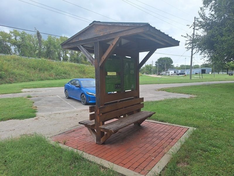
3. Paola Pathways Marker
Photographed by Jason Voigt, September 21, 2026
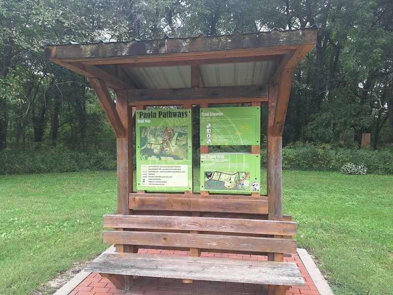
4. Paola Pathways Marker
opposite side of kiosk
Credits. This page was last revised on October 2, 2026. It was originally submitted on October 2, 2026, by Jason Voigt of Glen Carbon, Illinois. This page has been viewed 4 times since then. Photos: 1, 2, 3, 4. submitted on October 2, 2026, by Jason Voigt of Glen Carbon, Illinois.
