Fort Scott in Bourbon County, Kansas — The American Midwest (Upper Plains)
Skubitz Plaza 1915 flooding
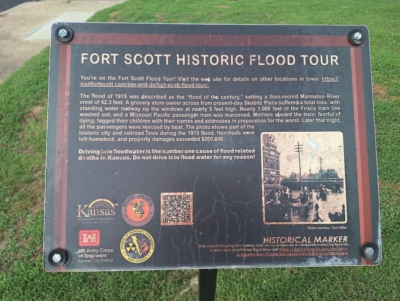
Fort Scott Historic Flood Tour
Photographed by Jason Voigt, September 21, 2026
1. Skubitz Plaza 1915 flooding Marker
You're on the Fort Scott Flood Tour! Visit the web site for details on other locations in town: https://visitfortscott.com/see-and-do/fort-scott-flood-tour/.
The flood of 1915 was described as the "flood of the century," setting a then-record Marmaton River crest of 42.3 feet. A grocery store owner across from present-day Skubitz Plaza suffered a total loss, with standing water midway up the windows at nearly 5 feet high. Nearly 1,000 feet of the Frisco train line washed out, and a Missouri Pacific passenger train was marooned. Mothers aboard the train, fearful of dying, tagged their children with their names and addresses in preparation for the worst. Later that night, all the passengers were rescued by boat. The photo shows part of the historic city and railroad lines during the 1915 flood. Hundreds were left homeless, and property damages exceeded $200,000.
Driving into floodwater is the number one cause of flood related deaths in Kansas. Do not drive into flood water for any reason!
Erected by Division of Emergency Management, Kansas Department of Agriculture, Silver Jackets and US Army Corps of Engineers.
this page online
Topics. This historical marker is listed in these topic lists: Disasters • Waterways & Vessels. A significant historical year for this entry is 1915.
Location. 37° 50.608′ N, 94° 42.433′ W. Marker is in Fort Scott, Kansas, in Bourbon County. It is at the intersection of North National Avenue and Market, on the right when traveling north on North National Avenue. Touch for map. Marker is at or near this postal address: 111 N National Ave, Fort Scott KS 66701, United States of America. Touch for directions.

Regionally, this marker is in Eastern Kansas and specifically in Bleeding Kansas Border War Country. It is also in the American Midwest, in the Corn Belt, on the prairies, and on the Southern Plains. Globally, it is in North America, the Western Hemisphere, the Western World, and the Anglosphere. Historically, it finds itself in what was once the Louisiana Purchase.
Other nearby markers. At least 8 other markers are within walking distance of this marker: Fort Scott (a few steps from this marker); 20th Century Veterans' Memorial (within shouting distance of this marker); Historic Fort Scott (within shouting distance
Photographed by Jason Voigt, September 21, 2026
2. Skubitz Plaza 1915 flooding Marker
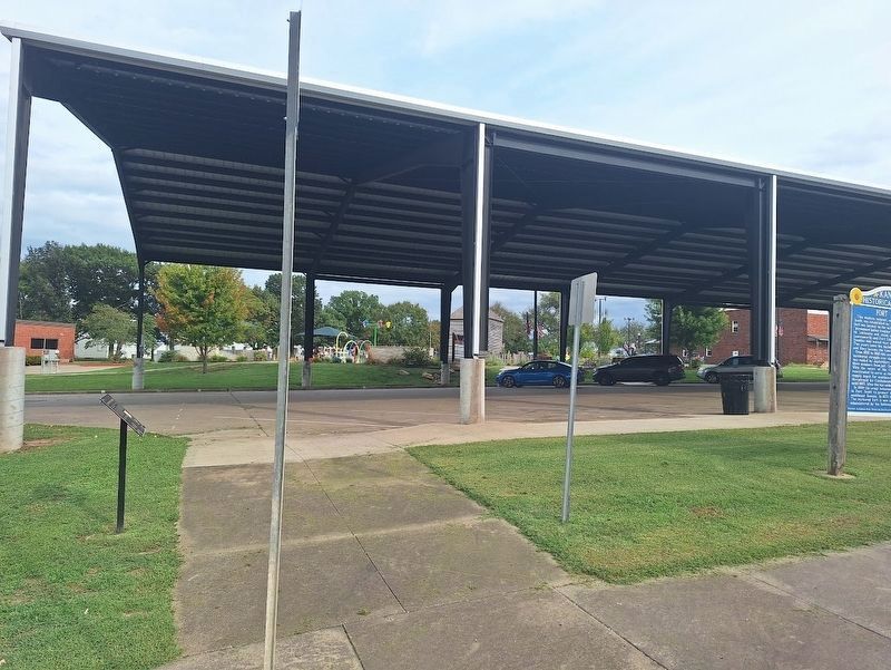
Marker is near the Fort Scott National Historic Site entrance.
Also see . . .
1. Fort Scott Flood Tour (archived). This is the first link on the marker. (Submitted on October 3, 2026, by Jason Voigt of Glen Carbon, Illinois.)
2. Kansas High Water Sign Initiative (archived). The Silver Jackets program has placed several historical markers about flooded areas that also feature safety warnings, in some states. This features a list of those from Kansas. The website is no longer running. (Submitted on October 3, 2026, by Jason Voigt of Glen Carbon, Illinois.)
Credits. This page was last revised on October 3, 2026. It was originally submitted on October 3, 2026, by Jason Voigt of Glen Carbon, Illinois. This page has been viewed 4 times since then. Photos: 1, 2. submitted on October 3, 2026, by Jason Voigt of Glen Carbon, Illinois.
